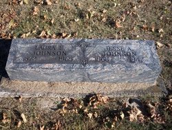
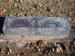
Laura Etta Plackard Johnson
| Birth | : | 26 Sep 1872 Madison County, Indiana, USA |
| Death | : | 26 Mar 1965 Summitville, Madison County, Indiana, USA |
| Burial | : | Frank Abel Cemetery, Woodland, Cowlitz County, USA |
| Coordinate | : | 45.9393700, -122.6353550 |
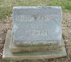
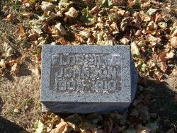
| Description | : | Laura was the daughter of Benjamin F. and Eunice Catherine (Black) Plackard. She married Jesse A. Johnson on December 27, 1888 in Madison County, Indiana. They had seven children: Gilbert, Charles R., Tressie Marie, Kenneth R., Joseph B., Flossie Lee and Paul Ernest Johnson. |
frequently asked questions (FAQ):
-
Where is Laura Etta Plackard Johnson's memorial?
Laura Etta Plackard Johnson's memorial is located at: Frank Abel Cemetery, Woodland, Cowlitz County, USA.
-
When did Laura Etta Plackard Johnson death?
Laura Etta Plackard Johnson death on 26 Mar 1965 in Summitville, Madison County, Indiana, USA
-
Where are the coordinates of the Laura Etta Plackard Johnson's memorial?
Latitude: 45.9393700
Longitude: -122.6353550
Family Members:
Parent
Spouse
Siblings
Children
Flowers:
Nearby Cemetories:
1. Frank Abel Cemetery
Woodland, Cowlitz County, USA
Coordinate: 45.9393700, -122.6353550
2. Hayes Cemetery
Hayes, Clark County, USA
Coordinate: 45.9317017, -122.6781006
3. Highland Cemetery
La Center, Clark County, USA
Coordinate: 45.9056015, -122.6371994
4. Yale Memorial Cemetery
Ariel, Cowlitz County, USA
Coordinate: 45.9580727, -122.5778961
5. Red Rock Cemetery
Clark County, USA
Coordinate: 45.9173000, -122.7219000
6. Mountain View Cemetery
La Center, Clark County, USA
Coordinate: 45.9025002, -122.5513000
7. Mount Zion Cemetery
La Center, Clark County, USA
Coordinate: 45.8667984, -122.6548004
8. Odd Fellows Cemetery
Woodland, Cowlitz County, USA
Coordinate: 45.9182900, -122.7433900
9. John Pollock Gravesite
La Center, Clark County, USA
Coordinate: 45.8551559, -122.6723022
10. Voight Family Cemetery
Kalama, Cowlitz County, USA
Coordinate: 46.0340960, -122.6981890
11. Lone Pine Cemetery
Ariel, Cowlitz County, USA
Coordinate: 45.9989014, -122.5028000
12. Pioneer Cemetery
Ridgefield, Clark County, USA
Coordinate: 45.8231010, -122.6389008
13. Saint Marys Catholic Church Cemetery
Ridgefield, Clark County, USA
Coordinate: 45.8264999, -122.6824036
14. Martins Bluff Cemetery
Cowlitz County, USA
Coordinate: 45.9610340, -122.8035450
15. Amboy Cemetery
Amboy, Clark County, USA
Coordinate: 45.9276009, -122.4620972
16. Kinder Cemetery
Deer Island, Columbia County, USA
Coordinate: 45.9138985, -122.8236008
17. Lewisville Cemetery
Battle Ground, Clark County, USA
Coordinate: 45.8167000, -122.5472031
18. Masonic Cemetery
Saint Helens, Columbia County, USA
Coordinate: 45.8777888, -122.8196074
19. Ridgefield Cemetery
Ridgefield, Clark County, USA
Coordinate: 45.8125992, -122.7360992
20. Bethel Evangelical Methodist Church Cemetery
Ridgefield, Clark County, USA
Coordinate: 45.7935000, -122.6935000
21. Sacred Heart Catholic Cemetery
Battle Ground, Clark County, USA
Coordinate: 45.8019470, -122.5370190
22. Kalama IOOF Cemetery
Kalama, Cowlitz County, USA
Coordinate: 46.0233380, -122.8372450
23. McNulty Cemetery
Saint Helens, Columbia County, USA
Coordinate: 45.8512000, -122.8478600
24. Mount Pleasant Cemetery
Kelso, Cowlitz County, USA
Coordinate: 46.0536003, -122.8305969

