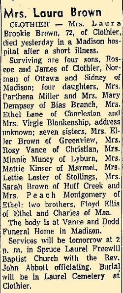
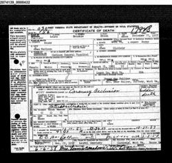
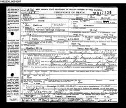
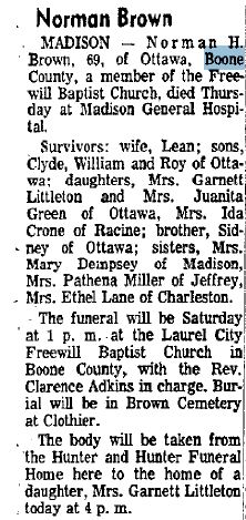
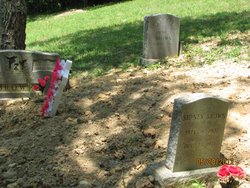
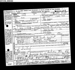
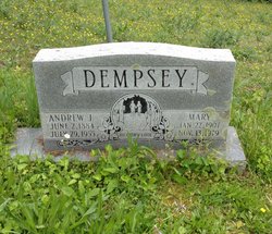
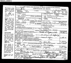
Laurie Brooke Ellis Brown
| Birth | : | 21 Aug 1885 |
| Death | : | 27 Dec 1957 Boone County, West Virginia, USA |
| Burial | : | Virginia Memorial Park, Forest, Bedford County, USA |
| Coordinate | : | 37.3788986, -79.3535995 |
| Description | : | Laurie was the daughter of Charles Edward Ellis and Nancy Ann Mullins. Laurie was the wife of Leander Brown. |
frequently asked questions (FAQ):
-
Where is Laurie Brooke Ellis Brown's memorial?
Laurie Brooke Ellis Brown's memorial is located at: Virginia Memorial Park, Forest, Bedford County, USA.
-
When did Laurie Brooke Ellis Brown death?
Laurie Brooke Ellis Brown death on 27 Dec 1957 in Boone County, West Virginia, USA
-
Where are the coordinates of the Laurie Brooke Ellis Brown's memorial?
Latitude: 37.3788986
Longitude: -79.3535995
Family Members:
Parent
Spouse
Siblings
Children
Flowers:
Nearby Cemetories:
1. Virginia Memorial Park
Forest, Bedford County, USA
Coordinate: 37.3788986, -79.3535995
2. Harris Family Cemetery
Forest, Bedford County, USA
Coordinate: 37.3921005, -79.3733642
3. Massie Family Cemetery
Goode, Bedford County, USA
Coordinate: 37.3809720, -79.3793540
4. Norwood Cemetery
Forest, Bedford County, USA
Coordinate: 37.3924799, -79.3736252
5. Berkeley Cemetery
Forest, Bedford County, USA
Coordinate: 37.3984090, -79.3394340
6. Mount Cifax Cemetery
Bellevue, Bedford County, USA
Coordinate: 37.3842720, -79.3853040
7. Elk Hill
Bedford County, USA
Coordinate: 37.4090150, -79.3435220
8. Anderson Family Cemetery
Goode, Bedford County, USA
Coordinate: 37.3897000, -79.3904500
9. Oakland United Methodist Church Cemetery
Goode, Bedford County, USA
Coordinate: 37.3650920, -79.3924227
10. Saint Stephens Episcopal Church Cemetery
Forest, Bedford County, USA
Coordinate: 37.3781090, -79.3083115
11. First Baptist Church of Goode Cemetery
Goode, Bedford County, USA
Coordinate: 37.3561429, -79.3905772
12. Mount Zion United Methodist Church Cemetery
Goode, Bedford County, USA
Coordinate: 37.3533510, -79.3921270
13. Mount Carmel United Methodist Church
Forest, Bedford County, USA
Coordinate: 37.4199530, -79.3448120
14. Mount Rock Baptist Church Cemetery
Goode, Bedford County, USA
Coordinate: 37.4246823, -79.3750462
15. Saint Paul Baptist Church Cemetery
Forest, Bedford County, USA
Coordinate: 37.3372470, -79.3167330
16. Terrace View Church Cemetery
Forest, Bedford County, USA
Coordinate: 37.3274155, -79.3588333
17. Beard Family Cemetery
Goode, Bedford County, USA
Coordinate: 37.3849339, -79.4205552
18. Coffee Cemetery
Goode, Bedford County, USA
Coordinate: 37.4057999, -79.4143982
19. Nazareth Church Cemetery
Bellevue, Bedford County, USA
Coordinate: 37.4070500, -79.4147700
20. Forest Baptist Church Cemetery
Forest, Bedford County, USA
Coordinate: 37.3629950, -79.2824940
21. Altha Grove Baptist Church Cemetery
Forest, Bedford County, USA
Coordinate: 37.4254187, -79.3066951
22. Ivy Chapel Cemetery
Coffee, Bedford County, USA
Coordinate: 37.4337233, -79.3235184
23. North Bedford Baptist Church Cemetery
Forest, Bedford County, USA
Coordinate: 37.4342440, -79.3187270
24. Forest Level Baptist Church Cemetery
Forest, Bedford County, USA
Coordinate: 37.3525887, -79.2804108

