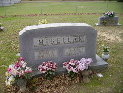
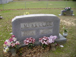
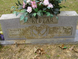
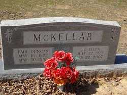
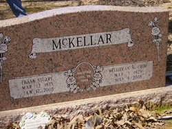
Lillian Lee Deal McKellar
| Birth | : | 14 Nov 1874 Arkansas, USA |
| Death | : | 26 Sep 1950 Sevier County, Arkansas, USA |
| Burial | : | Salem Cemetery, Rhoadesville, Orange County, USA |
| Coordinate | : | 38.2769012, -77.8871994 |
| Description | : | Wife of Robert Lee McKellar. They were married on January 02, 1900 in Sevier County, Arkansas. |
frequently asked questions (FAQ):
-
Where is Lillian Lee Deal McKellar's memorial?
Lillian Lee Deal McKellar's memorial is located at: Salem Cemetery, Rhoadesville, Orange County, USA.
-
When did Lillian Lee Deal McKellar death?
Lillian Lee Deal McKellar death on 26 Sep 1950 in Sevier County, Arkansas, USA
-
Where are the coordinates of the Lillian Lee Deal McKellar's memorial?
Latitude: 38.2769012
Longitude: -77.8871994
Family Members:
Spouse
Children
Flowers:
Nearby Cemetories:
1. Salem Cemetery
Rhoadesville, Orange County, USA
Coordinate: 38.2769012, -77.8871994
2. Mount Sinai Cemetery
Rhoadesville, Orange County, USA
Coordinate: 38.2713190, -77.9118550
3. Rhoadesville Baptist Church Cemetery
Rhoadesville, Orange County, USA
Coordinate: 38.2705994, -77.9244003
4. Mount Olive Cemetery
Unionville, Orange County, USA
Coordinate: 38.2491989, -77.9188995
5. Kube Family Cemetery
Rhoadesville, Orange County, USA
Coordinate: 38.2727547, -77.9350357
6. Kube Family Cemetery
Rhoadesville, Orange County, USA
Coordinate: 38.3067640, -77.8576390
7. Mount Olive Memorial Park
Rhoadesville, Orange County, USA
Coordinate: 38.2481910, -77.9194160
8. Quann-Chambers Cemetery
Rhoadesville, Orange County, USA
Coordinate: 38.3074493, -77.8535843
9. Antioch Baptist Church Cemetery
Unionville, Orange County, USA
Coordinate: 38.2442017, -77.9263992
10. Lee Family Cemetery
Unionville, Orange County, USA
Coordinate: 38.2670320, -77.9542830
11. New Hope Cemetery
Locust Grove, Orange County, USA
Coordinate: 38.2635020, -77.8118950
12. Wallace Cemetery
Mine Run, Orange County, USA
Coordinate: 38.2313820, -77.8345900
13. Coleman Cemetery
Rhoadesville, Orange County, USA
Coordinate: 38.3371450, -77.8692970
14. Rhoades Family Farm Cemetery
Burr Hill, Orange County, USA
Coordinate: 38.3380400, -77.8616560
15. Unionville Christian Church Cemetery
Unionville, Orange County, USA
Coordinate: 38.2587000, -77.9673300
16. Bethel Baptist Church Cemetery
Unionville, Orange County, USA
Coordinate: 38.2393190, -77.9600510
17. Oakwood Cemetery
Unionville, Orange County, USA
Coordinate: 38.2560997, -77.9702988
18. Wyatt-McGehee Family Cemetery
Unionville, Orange County, USA
Coordinate: 38.2119830, -77.9219410
19. Zoar Cemetery
Burr Hill, Orange County, USA
Coordinate: 38.3319016, -77.8296967
20. Mount Pisgah Baptist Church Cemetery
True Blue, Orange County, USA
Coordinate: 38.3480988, -77.8886032
21. Geetown Cemetery
Unionville, Orange County, USA
Coordinate: 38.2729800, -77.9793580
22. Mt. Holy Baptist Church Cemetery
Unionville, Orange County, USA
Coordinate: 38.3241997, -77.9580994
23. Newington Cemetery
Orange County, USA
Coordinate: 38.3027328, -77.9765642
24. Cooper Family Cemetery
Tatum, Orange County, USA
Coordinate: 38.2063370, -77.9266110

