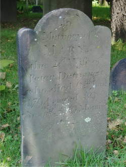
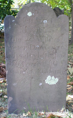
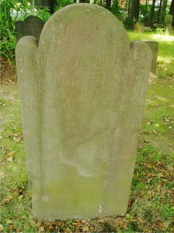
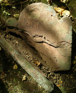
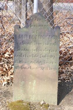
Maria “Mary” Batton Cole
| Birth | : | 1704 Hackensack, Bergen County, New Jersey, USA |
| Death | : | 6 Jan 1794 Hackensack, Bergen County, New Jersey, USA |
| Burial | : | Holy Cross Cemetery, Steele, Kidder County, USA |
| Coordinate | : | 46.8463400, -99.9115500 |
| Description | : | The daughter of Jacques Batton and Margrietie Sans. Maria married Peter Demarest on 15 Oct 1722 at Hackensack, Bergen County, New Jersey. She was his second wife. Maria and Peter had eleven children together. She married second as on 4 Nov 1776 banns were recorded at Schraalenburgh Reformed Dutch church for “Barent Kool, widower, to marry Marja D. More, widow. |
frequently asked questions (FAQ):
-
Where is Maria “Mary” Batton Cole's memorial?
Maria “Mary” Batton Cole's memorial is located at: Holy Cross Cemetery, Steele, Kidder County, USA.
-
When did Maria “Mary” Batton Cole death?
Maria “Mary” Batton Cole death on 6 Jan 1794 in Hackensack, Bergen County, New Jersey, USA
-
Where are the coordinates of the Maria “Mary” Batton Cole's memorial?
Latitude: 46.8463400
Longitude: -99.9115500
Family Members:
Spouse
Children
Flowers:
Nearby Cemetories:
1. Holy Cross Cemetery
Steele, Kidder County, USA
Coordinate: 46.8463400, -99.9115500
2. Woodlawn Cemetery
Steele, Kidder County, USA
Coordinate: 46.8806000, -99.9094009
3. Allen Cemetery
Kidder County, USA
Coordinate: 46.9155998, -99.8647003
4. Dawson Cemetery
Kidder County, USA
Coordinate: 46.8642006, -99.7200012
5. Koestler Cemetery
Tappen, Kidder County, USA
Coordinate: 46.7845600, -99.7112000
6. Liberty Cemetery
Kidder County, USA
Coordinate: 46.7846985, -99.7110977
7. Driscoll Cemetery
Burleigh County, USA
Coordinate: 46.8356018, -100.1397018
8. Grace Lutheran Cemetery
Driscoll, Burleigh County, USA
Coordinate: 46.8367000, -100.1409070
9. Chaska Gravesite
Driscoll, Burleigh County, USA
Coordinate: 46.9015700, -100.1330700
10. Liberty Methodist Episcopal Cemetery
Kidder County, USA
Coordinate: 46.7196999, -99.7652969
11. Bethel Cemetery
Kidder County, USA
Coordinate: 46.6907997, -99.9950027
12. Pursian Lake Cemetery
Kidder County, USA
Coordinate: 46.6906100, -99.9955800
13. Tappen Cemetery
Tappen, Kidder County, USA
Coordinate: 46.8783000, -99.6375000
14. Fisher Cemetery
Tappen, Kidder County, USA
Coordinate: 46.8941994, -99.6374969
15. Skudesness Lutheran Cemetery
Kidder County, USA
Coordinate: 47.0466995, -100.0072021
16. Buckeye Lutheran Cemetery
Tappen, Kidder County, USA
Coordinate: 46.9950600, -99.6710000
17. Chestina Cemetery
Kidder County, USA
Coordinate: 47.0539330, -100.0408600
18. Parzychowski Family Cemetery
Sterling, Burleigh County, USA
Coordinate: 46.7393660, -100.2033070
19. Glueckstal Cemetery
Kidder County, USA
Coordinate: 46.6831017, -99.6810989
20. Zoar Evangelical Cemetery
Kidder County, USA
Coordinate: 46.7337000, -99.6184200
21. Zion Lutheran Church Cemetery
Driscoll, Burleigh County, USA
Coordinate: 46.9961900, -100.1700600
22. Sterling Union Cemetery
Sterling, Burleigh County, USA
Coordinate: 46.8218994, -100.2891998
23. Zion Langedahl Cemetery
Kidder County, USA
Coordinate: 47.0825005, -100.0714035
24. Big Mound Battlefield State Historic Site
Tappen, Kidder County, USA
Coordinate: 47.0224080, -99.6288710

