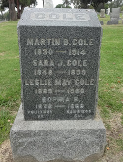
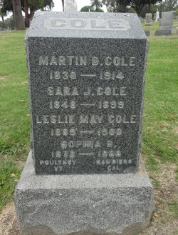
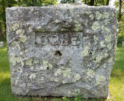
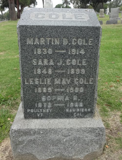
Martin Delos Cole
| Birth | : | Mar 1830 Cheshire, Berkshire County, Massachusetts, USA |
| Death | : | 1914 |
| Burial | : | Mount Hope Cemetery, San Diego, San Diego County, USA |
| Coordinate | : | 32.7111890, -117.1121660 |
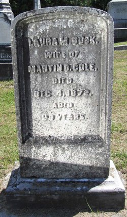
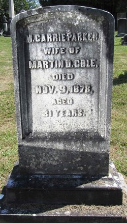
| Description | : | Information from Vermont Vital Records, 1720-1908 shows Martin Delos Cole (b abt 1830 in Cheshire, MA) and Mary Carrie Parker married 13 MAY 1874 in Poultney, VT. He and Sarah Fifield married 28 OCT 1880 in Rutland, VT, his father Truman Cole, his mother Delilah Ingalls - also listed as parents to Irvin Cole - born 9 FEB 1885 in Poultney, VT |
frequently asked questions (FAQ):
-
Where is Martin Delos Cole's memorial?
Martin Delos Cole's memorial is located at: Mount Hope Cemetery, San Diego, San Diego County, USA.
-
When did Martin Delos Cole death?
Martin Delos Cole death on 1914 in
-
Where are the coordinates of the Martin Delos Cole's memorial?
Latitude: 32.7111890
Longitude: -117.1121660
Family Members:
Parent
Spouse
Siblings
Children
Flowers:
Nearby Cemetories:
1. Mount Hope Cemetery
San Diego, San Diego County, USA
Coordinate: 32.7111890, -117.1121660
2. Home of Peace Cemetery
San Diego, San Diego County, USA
Coordinate: 32.7052002, -117.1150970
3. Cypress View Mausoleum and Crematory
San Diego, San Diego County, USA
Coordinate: 32.7050018, -117.1081009
4. Greenwood Memorial Park
San Diego, San Diego County, USA
Coordinate: 32.7057991, -117.1025009
5. Holy Cross Cemetery
San Diego, San Diego County, USA
Coordinate: 32.7168999, -117.0975037
6. Nhu Lai Thien Tu Temple Columbarium
San Diego County, USA
Coordinate: 32.7411200, -117.1084400
7. Bum Dog Burial Site
San Diego, San Diego County, USA
Coordinate: 32.7105700, -117.1606500
8. Saint Pauls Episcopal Cathedral Columbarium
San Diego, San Diego County, USA
Coordinate: 32.7340800, -117.1595900
9. Wat Lao Boubpharam Temple Columbarium
San Diego, San Diego County, USA
Coordinate: 32.7029900, -117.0574800
10. Normal Heights United Methodist Church Columbarium
San Diego, San Diego County, USA
Coordinate: 32.7625900, -117.1186200
11. La Vista Memorial Park
National City, San Diego County, USA
Coordinate: 32.6638985, -117.0727997
12. Christ Episcopal Church Memorial Garden
Coronado, San Diego County, USA
Coordinate: 32.6866970, -117.1784000
13. Beth Sarim House
San Diego, San Diego County, USA
Coordinate: 32.7712330, -117.0992590
14. First United Methodist Church Memorial Garden
San Diego, San Diego County, USA
Coordinate: 32.7674040, -117.1425440
15. First Unitarian Universalist Church of San Diego
San Diego, San Diego County, USA
Coordinate: 32.7535730, -117.1664870
16. Calvary Cemetery
San Diego, San Diego County, USA
Coordinate: 32.7489014, -117.1766968
17. Anton Sonka Burial Site
Lemon Grove, San Diego County, USA
Coordinate: 32.7401240, -117.0319330
18. Mission San Diego de Alcala Cemetery
San Diego, San Diego County, USA
Coordinate: 32.7858009, -117.1103973
19. El Campo Santo Cemetery
San Diego, San Diego County, USA
Coordinate: 32.7514000, -117.1922989
20. Glen Abbey Memorial Park
Bonita, San Diego County, USA
Coordinate: 32.6529620, -117.0480180
21. Presidio Hill Cemetery
Old Town San Diego, San Diego County, USA
Coordinate: 32.7592960, -117.1949920
22. Saint John's Episcopal Church Memorial Garden
Chula Vista, San Diego County, USA
Coordinate: 32.6275600, -117.0656300
23. Saint Dunstans Episcopal Church Columbarium
San Diego, San Diego County, USA
Coordinate: 32.7963070, -117.0498750
24. United Church of Christ Columbarium
La Mesa, San Diego County, USA
Coordinate: 32.7864100, -117.0184600

