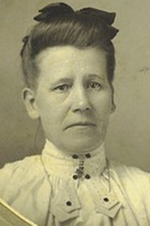
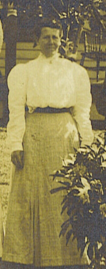
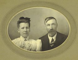
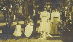
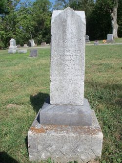
Mary I. Dilla “Della” Hiser Ewert
| Birth | : | 16 Feb 1859 Montgomery County, Ohio, USA |
| Death | : | 24 Feb 1931 Lafayette Township, Allen County, Indiana, USA |
| Burial | : | Maple Grove Cemetery, Wichita, Sedgwick County, USA |
| Coordinate | : | 37.7036018, -97.2949982 |
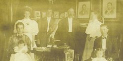
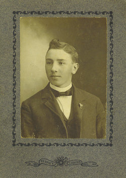
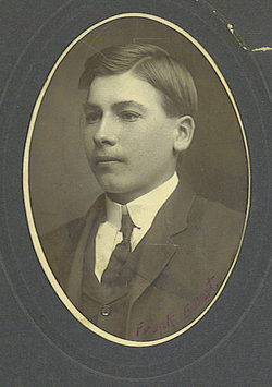
| Description | : | Mrs. Robert Ewert, 72, died at 6:40 o'clock Tuesday evening at her home in Lafayette township, after an illness of two weeks of paralysis. She was born in Salem, O., and was a member of the Munson Chapel M.E. church. Surviving are the husband, Robert Ewert; two sons, Albert Ewert of Lafayette township, and Frank Ewart at home; a foster-daughter, Mrs. J.N. Buskirk, Sandusky, Mich.; four grandchildren; three sisters, Mrs. Marshall Welbaum of Pleasant township; Mrs. Alice Sinclair of Walkerton; and Mrs. Margaret Webster of Fort Wayne. Funeral services will be held Friday afternoon at 2 o'clock at Munson Chapel,... Read More |
frequently asked questions (FAQ):
-
Where is Mary I. Dilla “Della” Hiser Ewert's memorial?
Mary I. Dilla “Della” Hiser Ewert's memorial is located at: Maple Grove Cemetery, Wichita, Sedgwick County, USA.
-
When did Mary I. Dilla “Della” Hiser Ewert death?
Mary I. Dilla “Della” Hiser Ewert death on 24 Feb 1931 in Lafayette Township, Allen County, Indiana, USA
-
Where are the coordinates of the Mary I. Dilla “Della” Hiser Ewert's memorial?
Latitude: 37.7036018
Longitude: -97.2949982
Family Members:
Parent
Spouse
Siblings
Children
Flowers:
Nearby Cemetories:
1. Maple Grove Cemetery
Wichita, Sedgwick County, USA
Coordinate: 37.7036018, -97.2949982
2. Highland Cemetery
Wichita, Sedgwick County, USA
Coordinate: 37.7028008, -97.3007965
3. Temple Emanuel Cemetery
Wichita, Sedgwick County, USA
Coordinate: 37.7014000, -97.3008000
4. White Chapel Memorial Gardens
Wichita, Sedgwick County, USA
Coordinate: 37.7162018, -97.2806015
5. Saint James Episcopal Church Columbarium
Wichita, Sedgwick County, USA
Coordinate: 37.6865600, -97.2930000
6. Mission Chapel Mausoleum
Wichita, Sedgwick County, USA
Coordinate: 37.7231200, -97.2955100
7. East Heights United Methodist Memorial Garden
Wichita, Sedgwick County, USA
Coordinate: 37.6854100, -97.2845500
8. Wichita Hebrew Cemetery
Wichita, Sedgwick County, USA
Coordinate: 37.7201004, -97.2798004
9. Old Mission Mausoleum
Wichita, Sedgwick County, USA
Coordinate: 37.7242600, -97.2967400
10. Old Mission Cemetery
Wichita, Sedgwick County, USA
Coordinate: 37.7243996, -97.2964020
11. Wichita Park Cemetery and Mausoleum
Wichita, Sedgwick County, USA
Coordinate: 37.7277985, -97.2960968
12. Calvary Cemetery
Wichita, Sedgwick County, USA
Coordinate: 37.6781006, -97.2949982
13. Saint Johns Episcopal Church Columbarium
Wichita, Sedgwick County, USA
Coordinate: 37.6918950, -97.3339670
14. Mount Saint Mary Convent Cemetery
Wichita, Sedgwick County, USA
Coordinate: 37.6704000, -97.2904000
15. Shirley Tilford Memorial Garden
Wichita, Sedgwick County, USA
Coordinate: 37.6942700, -97.3359600
16. Saint Stephen's Episcopal Church Columbarium
Wichita, Sedgwick County, USA
Coordinate: 37.6999272, -97.2505590
17. Pierpont Cemetery
Sedgwick County, USA
Coordinate: 37.7011400, -97.2077500
18. Ascension Cemetery
Bel Aire, Sedgwick County, USA
Coordinate: 37.7675018, -97.2533035
19. Greenwich Cemetery
Wichita, Sedgwick County, USA
Coordinate: 37.7518997, -97.2266998
20. Kensington Gardens Cemetery
Wichita, Sedgwick County, USA
Coordinate: 37.7230988, -97.2040024
21. Lutheran Cemetery
Wichita, Sedgwick County, USA
Coordinate: 37.7664986, -97.2443008
22. Cornerstone Pentecostal Holiness Church
Wichita, Sedgwick County, USA
Coordinate: 37.6578700, -97.3705700
23. Adorers of The Blood of Christ Convent Cemetery
Wichita, Sedgwick County, USA
Coordinate: 37.6677700, -97.3787800
24. Lakeview Cemetery & Mausoleum
Wichita, Sedgwick County, USA
Coordinate: 37.7086601, -97.1978989

