Mary M Ader Clawson
| Birth | : | 19 Dec 1842 Long Valley, Morris County, New Jersey, USA |
| Death | : | 12 Apr 1923 Long Valley, Morris County, New Jersey, USA |
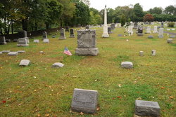
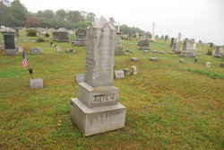
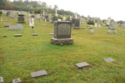
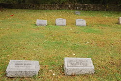
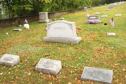
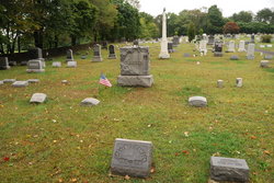
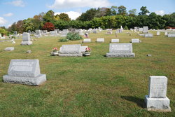
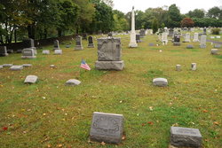
| Burial | : | Fairmount Cemetery, Fairmount, Hunterdon County, USA |
| Coordinate | : | 40.7338104, -74.7751770 |
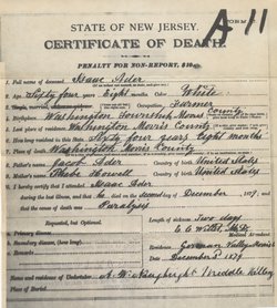
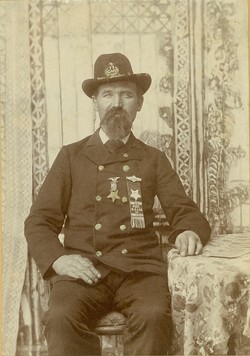
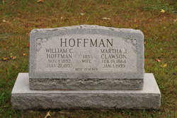
| Description | : | "MARY M. ADER, was born on 19 December 1842 in German Valley, Morris County, New Jersey. She was the daughter of Isaac Ader and Catherine Beam. She married William Clawson on 27 June 1863. She died on 12 April 1923 at 9:30 P.M. in Long Valley (German Valley) New Jersey." WILLIAM CLEVELAND* CLAWSON, was born on 01 August of 1840 in Washington Township, Morris County, New Jersey. He was the son of James Clausen and Mary. He married Mary M. Ader on 27 June 1863 in Fox Hill, Tewksbury Township, Hunterdon County, New Jersey by... Read More |
frequently asked questions (FAQ):
-
Where is Mary M Ader Clawson's memorial?
Mary M Ader Clawson's memorial is located at: Fairmount Cemetery, Fairmount, Hunterdon County, USA.
-
When did Mary M Ader Clawson death?
Mary M Ader Clawson death on 12 Apr 1923 in Long Valley, Morris County, New Jersey, USA
-
Where are the coordinates of the Mary M Ader Clawson's memorial?
Latitude: 40.7338104
Longitude: -74.7751770
Family Members:
Parent
Spouse
Siblings
Children
Flowers:
Nearby Cemetories:
1. Fairmount Cemetery
Fairmount, Hunterdon County, USA
Coordinate: 40.7338104, -74.7751770
2. Fairmount First Presbyterian Churchyard
Fairmount, Hunterdon County, USA
Coordinate: 40.7359581, -74.7747498
3. Fairmount Methodist Churchyard
Fairmount, Hunterdon County, USA
Coordinate: 40.7259712, -74.7759705
4. Fairmount Rural Cemetery
Califon, Hunterdon County, USA
Coordinate: 40.7257690, -74.7772070
5. Middle Valley Cemetery
Washington Valley, Morris County, USA
Coordinate: 40.7639008, -74.8099976
6. Pottersville Reform Cemetery
Pottersville, Somerset County, USA
Coordinate: 40.7137489, -74.7194443
7. Lower Valley Union Cemetery
Califon, Hunterdon County, USA
Coordinate: 40.7289009, -74.8431015
8. Old Stone Union Church Cemetery
Long Valley, Morris County, USA
Coordinate: 40.7863579, -74.7794952
9. Farley Burial Site
Califon, Hunterdon County, USA
Coordinate: 40.6839409, -74.7528610
10. Our Lady of the Mountain Cemetery
Schooleys Mountain, Morris County, USA
Coordinate: 40.7953491, -74.7995987
11. Zion Lutheran Church Cemetery
Oldwick, Hunterdon County, USA
Coordinate: 40.6724510, -74.7490768
12. Oldwick Methodist Cemetery
Oldwick, Hunterdon County, USA
Coordinate: 40.6719070, -74.7484280
13. Patrey-Runyan Cemetery
Chester, Morris County, USA
Coordinate: 40.7475815, -74.6901627
14. German Valley Rural Cemetery
Long Valley, Morris County, USA
Coordinate: 40.7947998, -74.7422028
15. Colver Family Burial Ground
Schooleys Mountain, Morris County, USA
Coordinate: 40.7907830, -74.8235500
16. Cokesbury Presbyterian Church Cemetery
Cokesbury, Hunterdon County, USA
Coordinate: 40.6847700, -74.8369600
17. New Germantown Cemetery
Oldwick, Hunterdon County, USA
Coordinate: 40.6690254, -74.7456512
18. Cokesbury United Methodist Church Cemetery
Cokesbury, Hunterdon County, USA
Coordinate: 40.6826000, -74.8357200
19. Lane Cemetery
Vliettown, Somerset County, USA
Coordinate: 40.6780891, -74.7155838
20. Pleasant Grove Presbyterian Churchyard
Pleasant Grove, Morris County, USA
Coordinate: 40.7780724, -74.8501205
21. Mountain View Cemetery
Cokesbury, Hunterdon County, USA
Coordinate: 40.6832600, -74.8447000
22. Potterstown Cemetery
Hunterdon County, USA
Coordinate: 40.6602770, -74.7766660
23. Apgar Homestead Graveyard
Cokesbury, Hunterdon County, USA
Coordinate: 40.6724360, -74.8308210
24. Philhower Family Burying Ground
Lebanon, Hunterdon County, USA
Coordinate: 40.7055560, -74.8722220

