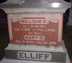
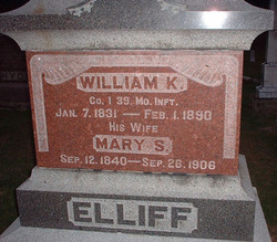
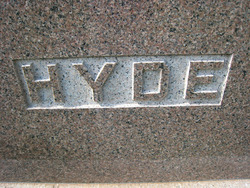
Mary S. Hyde Elliff
| Birth | : | 12 Sep 1840 Athens County, Ohio, USA |
| Death | : | 26 Sep 1906 Scotland County, Missouri, USA |
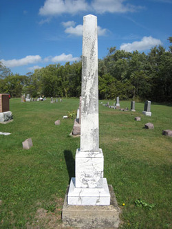
| Burial | : | Elfsborg Lutheran Cemetery, Palmer, Pocahontas County, USA |
| Coordinate | : | 42.6169014, -94.6875000 |
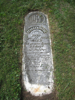
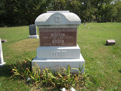
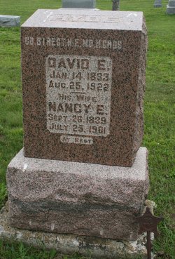
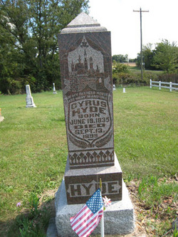
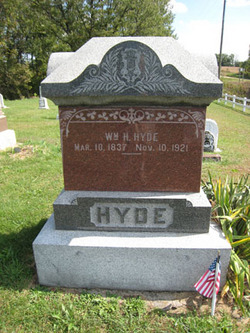
| Description | : | Mary S. (Hyde) Elliff is the daughter of Stephen A. and Rebecca (Eggleston) Hyde. Born in Ohio, she moved with her parents first to Lee and Van Buren counties in Iowa, then about 1851, they moved to Scotland County, Missouri, where she spent the rest of her life. On April 10, 1859, she married William Kinney Elliff, son of Evarad and Polly (Van Catron) Elliff in Memphis, Scotland County, Missouri. The couple had one son, Hardy Thomas Elliff and also raised Mary's nephew Reuben "Rube" Fletcher Hyde, whose mother Phoebe (Edwards) Hyde had died when he was... Read More |
frequently asked questions (FAQ):
-
Where is Mary S. Hyde Elliff's memorial?
Mary S. Hyde Elliff's memorial is located at: Elfsborg Lutheran Cemetery, Palmer, Pocahontas County, USA.
-
When did Mary S. Hyde Elliff death?
Mary S. Hyde Elliff death on 26 Sep 1906 in Scotland County, Missouri, USA
-
Where are the coordinates of the Mary S. Hyde Elliff's memorial?
Latitude: 42.6169014
Longitude: -94.6875000
Family Members:
Parent
Spouse
Siblings
Children
Flowers:
Nearby Cemetories:
1. Elfsborg Lutheran Cemetery
Palmer, Pocahontas County, USA
Coordinate: 42.6169014, -94.6875000
2. Evangelical Covenant Cemetery
Pomeroy, Calhoun County, USA
Coordinate: 42.6165720, -94.6803640
3. Swedish Mission Bethany Cemetery
Pocahontas County, USA
Coordinate: 42.6138992, -94.6774979
4. Grant Township Cemetery
Pocahontas, Pocahontas County, USA
Coordinate: 42.6571999, -94.6996994
5. Saint Josephs Cemetery
Palmer, Pocahontas County, USA
Coordinate: 42.6342010, -94.6188965
6. Saint Marys Catholic Cemetery
Pomeroy, Calhoun County, USA
Coordinate: 42.5558014, -94.6889038
7. Union Cemetery
Pomeroy, Calhoun County, USA
Coordinate: 42.5539017, -94.6789017
8. Palmer Cemetery
Palmer, Pocahontas County, USA
Coordinate: 42.6166992, -94.5894012
9. Saint Paul Lutheran Cemetery
Palmer, Pocahontas County, USA
Coordinate: 42.6176000, -94.5893500
10. Swedish Cemetery
Manson, Calhoun County, USA
Coordinate: 42.5426295, -94.5992013
11. Memorial Park Cemetery
Calhoun County, USA
Coordinate: 42.5189018, -94.6194000
12. Mount Zion Cemetery
Fonda, Pocahontas County, USA
Coordinate: 42.5821991, -94.8300018
13. Cedar Township Cemetery
Fonda, Pocahontas County, USA
Coordinate: 42.5810000, -94.8375000
14. Summit Hill Cemetery
Pocahontas, Pocahontas County, USA
Coordinate: 42.7315000, -94.6595000
15. Calvary Cemetery
Pocahontas, Pocahontas County, USA
Coordinate: 42.7335000, -94.6597000
16. Saint Columbkilles Cemetery
Varina, Pocahontas County, USA
Coordinate: 42.6467018, -94.8443985
17. Saint Paul Lutheran Cemetery
Pocahontas County, USA
Coordinate: 42.5610000, -94.5392000
18. Saint Johns Lutheran Cemetery
Palmer, Pocahontas County, USA
Coordinate: 42.6268997, -94.5205994
19. Crown Hill Cemetery
Jolley, Calhoun County, USA
Coordinate: 42.4808006, -94.7360992
20. Dover Township Cemetery
Varina, Pocahontas County, USA
Coordinate: 42.6896100, -94.8524200
21. Saint Thomas Cemetery
Manson, Calhoun County, USA
Coordinate: 42.5208500, -94.5365000
22. Rose Hill Cemetery
Manson, Calhoun County, USA
Coordinate: 42.5228004, -94.5243988
23. Lizard Cemetery
Palmer, Pocahontas County, USA
Coordinate: 42.5875015, -94.4796982
24. Leith Cemetery
Manson, Calhoun County, USA
Coordinate: 42.4878006, -94.5667038

