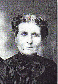
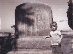
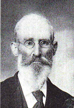
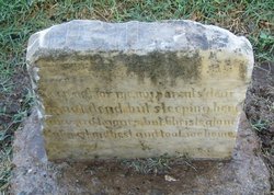
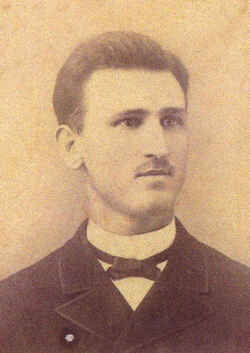
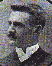
Matilda Ann Estes Netherton
| Birth | : | 4 Apr 1839 Ray County, Missouri, USA |
| Death | : | 23 Oct 1912 Byron, Contra Costa County, California, USA |
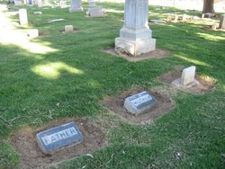
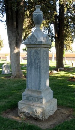
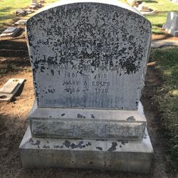
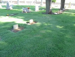
| Burial | : | Union Cemetery, Brentwood, Contra Costa County, USA |
| Coordinate | : | 37.9103012, -121.6477966 |
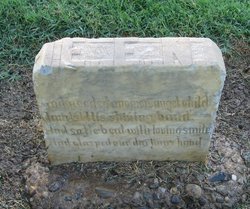
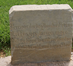
| Inscription | : | "Mother" |
| Description | : | Daughter of Joel and Jane Estes,who are also buried at Union Cemetery. Born in Ray Co., Mo. Emigrated with her family to California over the "Utah trail," in 1850, where they first lived in Pleasant Hill,El Dorado Co. They later relocated to Contra Costa Co., where she married John S. Netherton January 9, 1859. She was the mother of nine children. By 1874, she & John homesteaded 160 acres in Point of Timber (Byron). They were the "third white" family to settle in eastern Contra Costa Co., according to her obituary. Matilda & John remained on... Read More |
frequently asked questions (FAQ):
-
Where is Matilda Ann Estes Netherton's memorial?
Matilda Ann Estes Netherton's memorial is located at: Union Cemetery, Brentwood, Contra Costa County, USA.
-
When did Matilda Ann Estes Netherton death?
Matilda Ann Estes Netherton death on 23 Oct 1912 in Byron, Contra Costa County, California, USA
-
Where are the coordinates of the Matilda Ann Estes Netherton's memorial?
Latitude: 37.9103012
Longitude: -121.6477966
Family Members:
Parent
Spouse
Siblings
Children
Flowers:
Nearby Cemetories:
1. Union Cemetery
Brentwood, Contra Costa County, USA
Coordinate: 37.9103012, -121.6477966
2. Haney Family Estate Cemetery
Antioch, Contra Costa County, USA
Coordinate: 38.0027700, -121.7704400
3. Oak View Memorial Park
Antioch, Contra Costa County, USA
Coordinate: 38.0036011, -121.7696991
4. Holy Cross Cemetery
Antioch, Contra Costa County, USA
Coordinate: 38.0057983, -121.7733002
5. Rose Hill Cemetery
Antioch, Contra Costa County, USA
Coordinate: 37.9576700, -121.8713100
6. Five Pillars Farm Cemetery
Livermore, Alameda County, USA
Coordinate: 37.7262764, -121.7105789
7. Collinsville Cemetery
Collinsville, Solano County, USA
Coordinate: 38.0768635, -121.8499580
8. Roselawn Cemetery
Livermore, Alameda County, USA
Coordinate: 37.6947000, -121.7734800
9. Saint Michaels Cemetery
Livermore, Alameda County, USA
Coordinate: 37.6797790, -121.7519150
10. IOOF Memory Gardens Cemetery
Livermore, Alameda County, USA
Coordinate: 37.6797850, -121.7526100
11. Valpico Memorial Park
Tracy, San Joaquin County, USA
Coordinate: 37.7113260, -121.4656510
12. Rio Vista Memorial Park
Rio Vista, Solano County, USA
Coordinate: 38.1603127, -121.6971054
13. Rio Vista Catholic Cemetery
Rio Vista, Solano County, USA
Coordinate: 38.1611176, -121.6976471
14. Rio Vista Odd Fellows and Masonic Cemetery
Rio Vista, Solano County, USA
Coordinate: 38.1632919, -121.6999283
15. Oak Knoll Pioneer Memorial Park (Defunct)
Livermore, Alameda County, USA
Coordinate: 37.6770660, -121.7896590
16. Tracy Public Cemetery
Tracy, San Joaquin County, USA
Coordinate: 37.7251358, -121.4189453
17. Live Oak Cemetery
Concord, Contra Costa County, USA
Coordinate: 37.9491997, -121.9725037
18. Tracy Mausoleum
Tracy, San Joaquin County, USA
Coordinate: 37.7250214, -121.4150696
19. Saint Timothys Episcopal Church Columbarium
Danville, Contra Costa County, USA
Coordinate: 37.8364800, -121.9708800
20. Central United Methodist Church Columbarium
Stockton, San Joaquin County, USA
Coordinate: 37.9825710, -121.3078170
21. Thomas Lindsay Gravesite
San Joaquin County, USA
Coordinate: 37.9573110, -121.2918430
22. David Kelsey Gravesite
Stockton, San Joaquin County, USA
Coordinate: 37.9573110, -121.2918430
23. Chinese Cemetery
French Camp, San Joaquin County, USA
Coordinate: 37.8819962, -121.2805862
24. Casa Bonita Mausoleum
Stockton, San Joaquin County, USA
Coordinate: 37.9752340, -121.2877800

