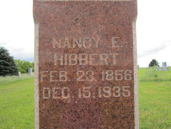
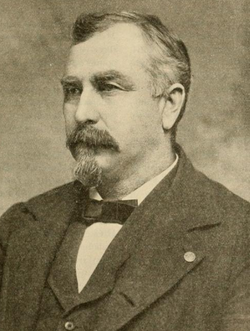
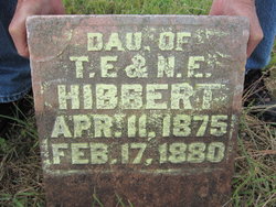
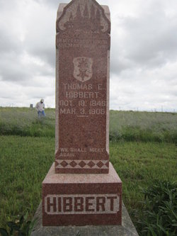
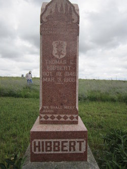
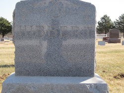
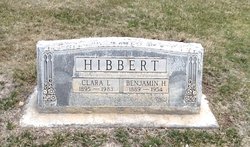
Nancy Etta Fuller Hibbert
| Birth | : | 23 Feb 1856 Indiana, USA |
| Death | : | 15 Dec 1935 Gage County, Nebraska, USA |
| Burial | : | Hooker Cemetery, Adams, Gage County, USA |
| Coordinate | : | 40.4207993, -96.4732971 |
frequently asked questions (FAQ):
-
Where is Nancy Etta Fuller Hibbert's memorial?
Nancy Etta Fuller Hibbert's memorial is located at: Hooker Cemetery, Adams, Gage County, USA.
-
When did Nancy Etta Fuller Hibbert death?
Nancy Etta Fuller Hibbert death on 15 Dec 1935 in Gage County, Nebraska, USA
-
Where are the coordinates of the Nancy Etta Fuller Hibbert's memorial?
Latitude: 40.4207993
Longitude: -96.4732971
Family Members:
Spouse
Children
Flowers:
Nearby Cemetories:
1. Hooker Cemetery
Adams, Gage County, USA
Coordinate: 40.4207993, -96.4732971
2. Granite Hill Cemetery
Johnson County, USA
Coordinate: 40.4180984, -96.4417038
3. Highland Cemetery
Adams, Gage County, USA
Coordinate: 40.4580994, -96.5196991
4. Weber Cemetery
Sterling, Johnson County, USA
Coordinate: 40.4581000, -96.4177000
5. Immanuel Cemetery
Sterling, Johnson County, USA
Coordinate: 40.4692001, -96.4253006
6. South Saint John Lutheran Cemetery
Sterling, Johnson County, USA
Coordinate: 40.4355500, -96.3858000
7. Saint John North Lutheran Cemetery
Sterling, Johnson County, USA
Coordinate: 40.4689500, -96.3878500
8. Latrobe Cemetery
Sterling, Johnson County, USA
Coordinate: 40.5151000, -96.4557000
9. Sterling Cemetery
Sterling, Johnson County, USA
Coordinate: 40.4585991, -96.3582993
10. Crab Orchard Cemetery
Crab Orchard, Johnson County, USA
Coordinate: 40.3274994, -96.4366989
11. Grandview Cemetery
Gage County, USA
Coordinate: 40.4617004, -96.6091995
12. Vesta Cemetery
Johnson County, USA
Coordinate: 40.3630981, -96.3414001
13. Zion Evangelical Lutheran Cemetery
Pickrell, Gage County, USA
Coordinate: 40.3456001, -96.6147003
14. Pella Cemetery
Panama, Lancaster County, USA
Coordinate: 40.5555992, -96.5014038
15. Holy Rosary Catholic Cemetery
Saint Mary, Johnson County, USA
Coordinate: 40.4280000, -96.2905000
16. Saint Johns Lutheran Cemetery
Cortland, Gage County, USA
Coordinate: 40.5078300, -96.6252700
17. Firth Cemetery
Firth, Lancaster County, USA
Coordinate: 40.5250015, -96.6085968
18. Sunnyside Cemetery
Cortland, Gage County, USA
Coordinate: 40.4799200, -96.6511800
19. Filley Cemetery
Filley, Gage County, USA
Coordinate: 40.2761002, -96.5306015
20. Christ Lutheran Church Cemetery
Pickrell, Gage County, USA
Coordinate: 40.4079410, -96.6848370
21. Panama Cemetery
Panama, Lancaster County, USA
Coordinate: 40.5821991, -96.5255966
22. Dietz Cemetery
Firth, Lancaster County, USA
Coordinate: 40.5449982, -96.6286011
23. Solon Cemetery
Otoe County, USA
Coordinate: 40.5917015, -96.4436035
24. Rosehill Cemetery
Douglas, Otoe County, USA
Coordinate: 40.5845940, -96.3867900

