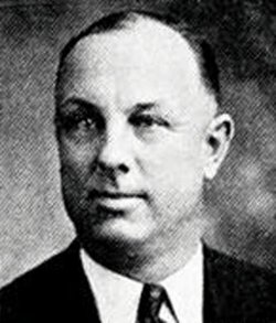
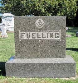
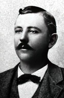
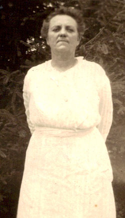
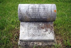
Otto Frederich Louis Reynold Fuelling
| Birth | : | 20 Mar 1889 Farmersburg, Clayton County, Iowa, USA |
| Death | : | 28 Aug 1947 Farmersburg, Clayton County, Iowa, USA |
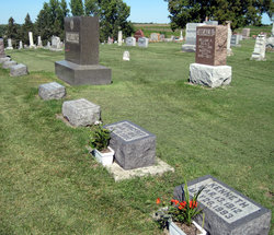
| Burial | : | Shepherd Memorial Park, Naples, Henderson County, USA |
| Coordinate | : | 35.3835351, -82.5067129 |
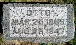
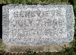
| Inscription | : | Otto Mar. 20, 1889 Aug. 28, 1947 |
| Description | : | Extract from the 1900 Census: Name: Otto Fuelling Age at last birthday: 11 Date of birth: Mar 1889 Birthplace: Iowa Race: white Sex: male Relationship to head-of-house: son Home in 1900: Farmersburg, Clayton, Iowa Marital status: single Able to read, write and speak English: yes Father's birthplace: Germany Mother's birthplace: Iowa Occupation: attending school Siblings living at home: none Census place: Farmersburg, Clayton, Iowa; Roll: T623 425; Page: 10B; Enumeration District: 49 Date: 20 Jun 1900 Extract from the 1910 Census: Name: Otto Fuelling Age in 1910: 21 Estimated birth year: 1889 Birthplace: Iowa Race: white Sex: male Relationship to head of family: son Home in 1910: Farmersburg Township, Clayton, Iowa Marital status: single Able to speak English: yes Able to read and write: yes Father's birthplace: Germany Mother's birthplace:... Read More |
frequently asked questions (FAQ):
-
Where is Otto Frederich Louis Reynold Fuelling's memorial?
Otto Frederich Louis Reynold Fuelling's memorial is located at: Shepherd Memorial Park, Naples, Henderson County, USA.
-
When did Otto Frederich Louis Reynold Fuelling death?
Otto Frederich Louis Reynold Fuelling death on 28 Aug 1947 in Farmersburg, Clayton County, Iowa, USA
-
Where are the coordinates of the Otto Frederich Louis Reynold Fuelling's memorial?
Latitude: 35.3835351
Longitude: -82.5067129
Family Members:
Parent
Spouse
Siblings
Flowers:
Nearby Cemetories:
1. Shepherd Memorial Park
Naples, Henderson County, USA
Coordinate: 35.3835351, -82.5067129
2. Mill Pond Cemetery
Rugby, Henderson County, USA
Coordinate: 35.3666992, -82.5239029
3. Saint Matthews Cemetery
Hillgirt, Henderson County, USA
Coordinate: 35.3683014, -82.4792023
4. Brickton Missionary Baptist Church Cemetery
Fletcher, Henderson County, USA
Coordinate: 35.4126850, -82.5032530
5. Henderson County Home Cemetery
Henderson County, USA
Coordinate: 35.3535480, -82.4986540
6. Fletcher Family Cemetery
Fletcher, Henderson County, USA
Coordinate: 35.4149600, -82.4985300
7. Jones Cemetery
Mills River, Henderson County, USA
Coordinate: 35.3988991, -82.5456009
8. Patty's Chapel Cemetery
Fletcher, Henderson County, USA
Coordinate: 35.4160995, -82.4882965
9. Hutchinson
Hoopers Creek, Henderson County, USA
Coordinate: 35.4050416, -82.4713800
10. Old French Broad Baptist Church
Rugby, Henderson County, USA
Coordinate: 35.3588340, -82.5418500
11. McCarson Cemetery
Henderson County, USA
Coordinate: 35.3442001, -82.5021973
12. Featherstone Family Cemetery
Henderson County, USA
Coordinate: 35.3817100, -82.4573500
13. Featherstone Slave Cemetery
Henderson County, USA
Coordinate: 35.3839389, -82.4571000
14. Shaws Creek Methodist Campground Cemetery
Horse Shoe, Henderson County, USA
Coordinate: 35.3437996, -82.5345001
15. Jeremiah Osborne Cemetery
Horse Shoe, Henderson County, USA
Coordinate: 35.3527400, -82.5551720
16. McCrary Family Cemetery
Henderson County, USA
Coordinate: 35.3366776, -82.4810562
17. Boiling Springs Baptist Church
Fletcher, Henderson County, USA
Coordinate: 35.4320297, -82.5294037
18. Saint John Baptist Church Cemetery
Fletcher, Henderson County, USA
Coordinate: 35.4356600, -82.5086700
19. Drake Family Cemetery
Henderson County, USA
Coordinate: 35.4025000, -82.4458060
20. Mills River Presbyterian Church Cemetery
Mills River, Henderson County, USA
Coordinate: 35.3777733, -82.5728073
21. Old Salem Cemetery
Fletcher, Henderson County, USA
Coordinate: 35.4380810, -82.4980550
22. Mills River United Methodist Church
Mills River, Henderson County, USA
Coordinate: 35.3843620, -82.5770620
23. Carolina Memorial Sanctuary
Mills River, Henderson County, USA
Coordinate: 35.4202480, -82.5632190
24. Calvary Episcopal Church Cemetery
Fletcher, Henderson County, USA
Coordinate: 35.4434013, -82.5062027

