
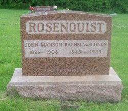
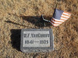
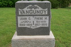
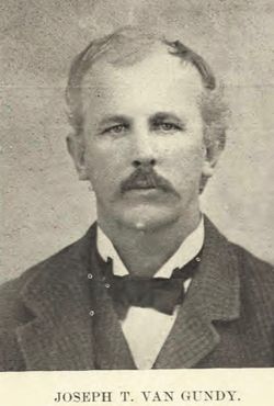
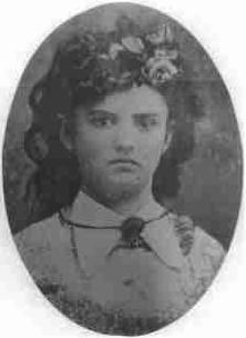
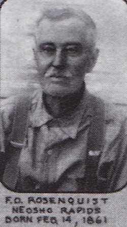
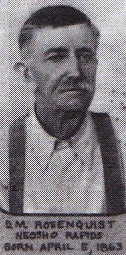
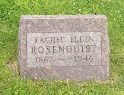
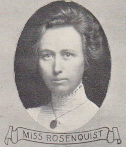
Rachel Ellen Van Gundy Rosenquist
| Birth | : | 20 Aug 1843 Rob Roy, Fountain County, Indiana, USA |
| Death | : | 20 Mar 1929 Neosho Rapids, Lyon County, Kansas, USA |
| Burial | : | Westbury General Cemetery, Westbury, Meander Valley Council, Australia |
| Coordinate | : | -41.5319850, 146.8259020 |
frequently asked questions (FAQ):
-
Where is Rachel Ellen Van Gundy Rosenquist's memorial?
Rachel Ellen Van Gundy Rosenquist's memorial is located at: Westbury General Cemetery, Westbury, Meander Valley Council, Australia.
-
When did Rachel Ellen Van Gundy Rosenquist death?
Rachel Ellen Van Gundy Rosenquist death on 20 Mar 1929 in Neosho Rapids, Lyon County, Kansas, USA
-
Where are the coordinates of the Rachel Ellen Van Gundy Rosenquist's memorial?
Latitude: -41.5319850
Longitude: 146.8259020
Family Members:
Parent
Spouse
Siblings
Children
Flowers:


Nearby Cemetories:
1. Westbury General Cemetery
Westbury, Meander Valley Council, Australia
Coordinate: -41.5319850, 146.8259020
2. Westbury Uniting Church Cemetery
Westbury, Meander Valley Council, Australia
Coordinate: -41.5316580, 146.8318780
3. Westbury Pioneer Catholic Cemetery
Westbury, Meander Valley Council, Australia
Coordinate: -41.5333340, 146.8393990
4. Culzean Cemetery
Westbury, Meander Valley Council, Australia
Coordinate: -41.5212380, 146.8339060
5. Hagley Methodist-Uniting Cemetery
Hagley, Meander Valley Council, Australia
Coordinate: -41.5258094, 146.8881433
6. Hagley Presbyterian Cemetery
Hagley, Meander Valley Council, Australia
Coordinate: -41.5255610, 146.8975560
7. St. Mary's Anglican Church Cemetery
Hagley, Meander Valley Council, Australia
Coordinate: -41.5217840, 146.9104460
8. Whitemore Methodist-Uniting Cemetery
Whitemore, Meander Valley Council, Australia
Coordinate: -41.5810490, 146.9325240
9. Saint Mark's Anglican Cemetery
Deloraine, Meander Valley Council, Australia
Coordinate: -41.5250850, 146.6600750
10. Carrick Anglican Churchyard
Carrick, Meander Valley Council, Australia
Coordinate: -41.5306800, 147.0075400
11. Bracknell General Cemetery
Bracknell, Meander Valley Council, Australia
Coordinate: -41.6436630, 146.9398520
12. Holy Nativity Anglican Cemetery
Bishopsbourne, Northern Midlands Council, Australia
Coordinate: -41.6173490, 146.9869290
13. Bracknell Presbyterian Cemetery
Bracknell, Meander Valley Council, Australia
Coordinate: -41.6518889, 146.9420278
14. Deloraine General Cemetery
Deloraine, Meander Valley Council, Australia
Coordinate: -41.5077836, 146.6302915
15. Mountain Vale Methodist Cemetery
Liffey, Northern Midlands Council, Australia
Coordinate: -41.6728910, 146.8919670
16. Frankford Cemetery
Frankford, West Tamar Council, Australia
Coordinate: -41.3611110, 146.8022220
17. Church Of The Good Shepherd
Hadspen, Meander Valley Council, Australia
Coordinate: -41.5076150, 147.0618590
18. Hadspen Uniting Church Cemetery
Hadspen, Meander Valley Council, Australia
Coordinate: -41.5064200, 147.0637300
19. Illawarra Christ Church Cemetery
Carrick, Meander Valley Council, Australia
Coordinate: -41.5502380, 147.0651810
20. Meander Cemetery
Meander, Meander Valley Council, Australia
Coordinate: -41.6493140, 146.6173550
21. St. Canice Catholic Cemetery
Glengarry, West Tamar Council, Australia
Coordinate: -41.3350250, 146.8701150
22. Blackwood Creek Community Church Cemetery
Blackwood Creek, Northern Midlands Council, Australia
Coordinate: -41.7400164, 146.8934466
23. St Augustine Catholic Church Cemetery
Longford, Northern Midlands Council, Australia
Coordinate: -41.5932650, 147.1140900
24. Longford General Cemetery
Longford, Northern Midlands Council, Australia
Coordinate: -41.6223790, 147.1055480