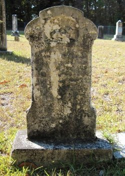
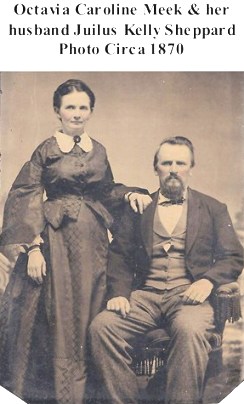
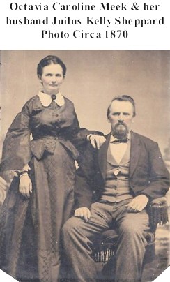
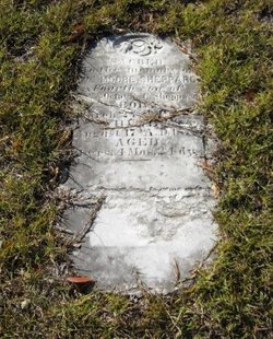
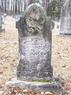
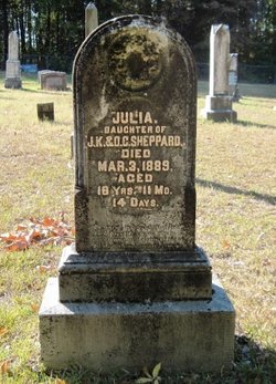
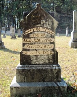
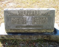
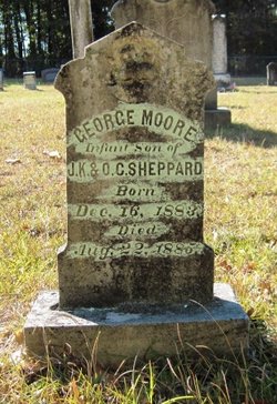
Robert Lee Sheppard
| Birth | : | 31 Dec 1877 Union County, Arkansas, USA |
| Death | : | 22 Sep 1878 Union County, Arkansas, USA |
| Burial | : | Macedonia Baptist Church Cemetery, McDowell County, USA |
| Coordinate | : | 35.5770190, -81.9369820 |
| Inscription | : | s/o J K & O G Sheppard |
frequently asked questions (FAQ):
-
Where is Robert Lee Sheppard's memorial?
Robert Lee Sheppard's memorial is located at: Macedonia Baptist Church Cemetery, McDowell County, USA.
-
When did Robert Lee Sheppard death?
Robert Lee Sheppard death on 22 Sep 1878 in Union County, Arkansas, USA
-
Where are the coordinates of the Robert Lee Sheppard's memorial?
Latitude: 35.5770190
Longitude: -81.9369820
Family Members:
Parent
Siblings
Flowers:
Nearby Cemetories:
1. Macedonia Baptist Church Cemetery
McDowell County, USA
Coordinate: 35.5770190, -81.9369820
2. Sprouse Cemetery
Dysartsville, McDowell County, USA
Coordinate: 35.5723570, -81.9297430
3. Poteet Family Cemetery
McDowell County, USA
Coordinate: 35.5774040, -81.9125020
4. Arrowood Cemetery
Glenwood, McDowell County, USA
Coordinate: 35.5774970, -81.9669530
5. Brackettown Cemetery
McDowell County, USA
Coordinate: 35.5532990, -81.9207993
6. Epps Family Cemetery
McDowell County, USA
Coordinate: 35.5778020, -81.9016850
7. Glenwood Independent Baptist Church Cemetery
McDowell County, USA
Coordinate: 35.5884730, -81.9829800
8. Glenwood Cemetery
Marion, McDowell County, USA
Coordinate: 35.6117870, -81.9708270
9. Bethel Baptist Church Cemetery
Marion, McDowell County, USA
Coordinate: 35.5847890, -81.9929230
10. Nealsville Church Of God Cemetery
McDowell County, USA
Coordinate: 35.5885590, -81.9924240
11. Laurel Hill Baptist Church Cemetery
Nebo, McDowell County, USA
Coordinate: 35.6143120, -81.8984140
12. Haney Cemetery
McDowell County, USA
Coordinate: 35.6293983, -81.9400024
13. Gardin-Haney Cemetery
McDowell County, USA
Coordinate: 35.6303270, -81.9400350
14. Mountain Creek Independent Baptist Church Cemetery
Glenwood, McDowell County, USA
Coordinate: 35.5657700, -82.0057900
15. Lawing Cemetery
McDowell County, USA
Coordinate: 35.5628014, -82.0056000
16. Neal Cemetery
McDowell County, USA
Coordinate: 35.6068993, -81.9991989
17. Dysartsville Baptist Church Cemetery
Dysartsville, McDowell County, USA
Coordinate: 35.6011400, -81.8697800
18. Sunny Grove Baptist Church Cemetery
McDowell County, USA
Coordinate: 35.6271870, -81.8957620
19. Trinity United Methodist Church Cemetery
Dysartsville, McDowell County, USA
Coordinate: 35.5995270, -81.8644050
20. Old Thermal City Church Cemetery
Thermal City, Rutherford County, USA
Coordinate: 35.5173120, -81.9706250
21. Drucilla Independent Fundamental Cemetery
Dysartsville, McDowell County, USA
Coordinate: 35.6285700, -81.8821900
22. Camp Creek Baptist Church Cemetery
Union Mills, Rutherford County, USA
Coordinate: 35.5141983, -81.9039001
23. Fork Creek Baptist Church Cemetery
Rutherford County, USA
Coordinate: 35.5249710, -81.8802872
24. Dysartsville Church of Christ Cemetery
Marion, McDowell County, USA
Coordinate: 35.6354600, -81.8890800

