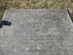
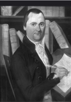
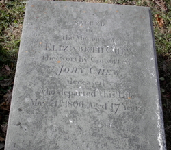
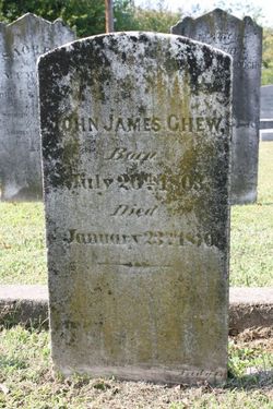
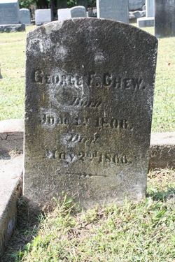
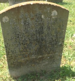
Robert Smith Chew
| Birth | : | 26 Sep 1779 Spotsylvania County, Virginia, USA |
| Death | : | 2 Nov 1826 USA |
| Burial | : | Lyvikens kyrkogård, Ludvika, Ludvika kommun, Sweden |
| Coordinate | : | 60.1378360, 15.1662830 |
| Description | : | 47 years,ESQ His father was John Chew,in the office of clerk of the Hustings Court,he succeeded his father in the office. He was a vestryman in St.George's Church in 1813. Brother of Elizabeth,who married Dr.James French. Husband of Elisa(Betsey) French,a daughter of Dr.George French,married October 20,1802. Father of Ann Elisa. "Go,just in word,in every thought sincere Who knows no wish but what the world might hear. Of gentlest manner,unaffected mind, Lover of peace and friend of human kind Composed in sufferings,and in joy sedate Good without noise,without pretension great. Go live!for heaven's eternal year is thine Go!and exalt thy moral to devine." |
frequently asked questions (FAQ):
-
Where is Robert Smith Chew's memorial?
Robert Smith Chew's memorial is located at: Lyvikens kyrkogård, Ludvika, Ludvika kommun, Sweden.
-
When did Robert Smith Chew death?
Robert Smith Chew death on 2 Nov 1826 in USA
-
Where are the coordinates of the Robert Smith Chew's memorial?
Latitude: 60.1378360
Longitude: 15.1662830
Family Members:
Parent
Siblings
Children
Nearby Cemetories:
1. Lyvikens kyrkogård
Ludvika, Ludvika kommun, Sweden
Coordinate: 60.1378360, 15.1662830
2. Grängesberg Cemetery
Grangesberg, Ludvika kommun, Sweden
Coordinate: 60.0789760, 15.0266210
3. Smälla griftegård
Idkerberget, Borlänge kommun, Sweden
Coordinate: 60.3554776, 15.2147511
4. Saters Hospital Cemetery
Sater, Säters kommun, Sweden
Coordinate: 60.3367970, 15.6970542
5. Stora Tuna Kyrkogård
Borlänge, Borlänge kommun, Sweden
Coordinate: 60.4501730, 15.4786630
6. Skogskappellet, Västanfors
Fagersta, Fagersta kommun, Sweden
Coordinate: 59.9912440, 15.8036730
7. Hjulsjö
Hjulsjo, Hällefors kommun, Sweden
Coordinate: 59.7809413, 14.7806660
8. Husby Cemetery
Husby, Hedemora kommun, Sweden
Coordinate: 60.2436280, 16.0242460
9. Gagnefs kyrkogård
Gagnef, Gagnefs kommun, Sweden
Coordinate: 60.5898820, 15.0597170
10. Vika kyrkogard
Falun, Falu kommun, Sweden
Coordinate: 60.5133980, 15.7138820
11. Karbenning Cemetery
Karbenningby, Norbergs kommun, Sweden
Coordinate: 60.0083200, 16.0780800
12. Gåsborns Kyrkogård
Gasborn, Filipstads kommun, Sweden
Coordinate: 59.8801814, 14.3333281
13. Avesta kyrkogård
Avesta, Avesta kommun, Sweden
Coordinate: 60.1511400, 16.1545000
14. Kristine kyrka
Falun, Falu kommun, Sweden
Coordinate: 60.6077780, 15.6311110
15. Grytnäs kyrkogård
Avesta kommun, Sweden
Coordinate: 60.1661600, 16.2195020
16. Rämmens Kyrkogård
Rammen, Filipstads kommun, Sweden
Coordinate: 60.0312399, 14.1291666
17. Folkärna kyrkogård
Avesta, Avesta kommun, Sweden
Coordinate: 60.1527340, 16.3147520
18. Karlslunds kyrkogård
Nora kommun, Sweden
Coordinate: 59.5452279, 15.0307932
19. Leksands kyrkogård
Leksand, Leksands kommun, Sweden
Coordinate: 60.7318690, 14.9810310
20. Horndals kyrkogård
Horndal, Avesta kommun, Sweden
Coordinate: 60.2890838, 16.4036744
21. Fläckebo Kyrkogård
Flackebo, Sala kommun, Sweden
Coordinate: 59.8747220, 16.3436110
22. Östra kyrkogården
Filipstad, Filipstads kommun, Sweden
Coordinate: 59.7091290, 14.1780150
23. By gamla kyrkogård
Avesta kommun, Sweden
Coordinate: 60.2019709, 16.4776838
24. Rockesholms Kyrkogård
Grythyttan, Hällefors kommun, Sweden
Coordinate: 59.5357754, 14.6393867

