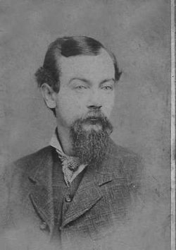
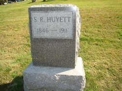
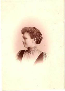
Samuel Ringgold Huyett
| Birth | : | 17 May 1846 Washington County, Maryland, USA |
| Death | : | 29 Oct 1911 Missouri, USA |
| Burial | : | Saint Mary Churchyard, Limington, South Somerset District, England |
| Coordinate | : | 50.9989000, -2.6546000 |
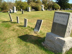
| Plot | : | Lot 12 |
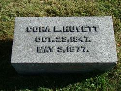
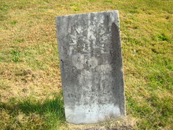
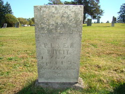
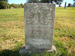
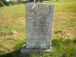
| Description | : | Son of Peter Lewis Huyett and Elizabeth Ann Claggett Huyett. Married Cora Leroy Lamson Huyett on June 27, 1867. Children: Stella Huyett Milton Magruder Claggett Huyett Guy Huyett Believed to have later married Mamie H King on June 8, 1887 in Waterville, KS. Samuel was a music publisher and salesman of musical supplies. ~~~~~~ Certain names, dates, and locations provided by Susan Hadenchuk family group sheet research on the Huyett/Lamson families provided to the Fairfield Public Library in July 2010. ------- Lot 12 at Old Fairfield Cemetery was purchased by Samuel's father for the burial of some of those siblings of Samuel who died in the 1840's and 1850's. Samuel... Read More |
frequently asked questions (FAQ):
-
Where is Samuel Ringgold Huyett's memorial?
Samuel Ringgold Huyett's memorial is located at: Saint Mary Churchyard, Limington, South Somerset District, England.
-
When did Samuel Ringgold Huyett death?
Samuel Ringgold Huyett death on 29 Oct 1911 in Missouri, USA
-
Where are the coordinates of the Samuel Ringgold Huyett's memorial?
Latitude: 50.9989000
Longitude: -2.6546000
Family Members:
Parent
Spouse
Siblings
Children
Flowers:
Nearby Cemetories:
1. Saint Mary Churchyard
Limington, South Somerset District, England
Coordinate: 50.9989000, -2.6546000
2. Ilchester Parish Cemetery
Ilchester, South Somerset District, England
Coordinate: 50.9993670, -2.6721280
3. St Mary Major Churchyard
Ilchester, South Somerset District, England
Coordinate: 51.0010030, -2.6818120
4. St Andrew Churchyard
Ilchester, South Somerset District, England
Coordinate: 51.0056950, -2.6804910
5. Ilchester Gallows Field Cemetery
Ilchester, South Somerset District, England
Coordinate: 50.9996250, -2.6831080
6. Ilchester County Gaol Cemetery
Ilchester, South Somerset District, England
Coordinate: 51.0023060, -2.6833610
7. St Vincent Churchyard
Ashington, South Somerset District, England
Coordinate: 50.9904090, -2.6267630
8. St. Peter’s Churchyard
Podimore, South Somerset District, England
Coordinate: 51.0219250, -2.6492310
9. St. James Parish Churchyard
Chilton Cantelo, South Somerset District, England
Coordinate: 50.9972730, -2.6136800
10. Blessed Virgin Mary Churchyard
Chilthorne Domer, South Somerset District, England
Coordinate: 50.9721100, -2.6783950
11. Blessed Virgin Mary Churchyard
Mudford, South Somerset District, England
Coordinate: 50.9773210, -2.6086310
12. Mudford Parish Cemetery
Mudford, South Somerset District, England
Coordinate: 50.9708040, -2.6114880
13. All Saints Churchyard
Kingsdon, South Somerset District, England
Coordinate: 51.0330100, -2.6918330
14. St. Mary's Churchyard
Marston Magna, South Somerset District, England
Coordinate: 50.9989970, -2.5805915
15. Saint Barnabas Churchyard
Queen Camel, South Somerset District, England
Coordinate: 51.0225850, -2.5759270
16. Church of the Virgin Mary
Charlton Mackrell, South Somerset District, England
Coordinate: 51.0524210, -2.6743894
17. Lufton Anglican Churchyard
Lufton, South Somerset District, England
Coordinate: 50.9491080, -2.6917910
18. St. James's Churchyard
Preston Plucknett, South Somerset District, England
Coordinate: 50.9437800, -2.6635960
19. St. Peter & St. Paul's Churchyard
Charlton Adam, South Somerset District, England
Coordinate: 51.0552350, -2.6647930
20. Holy Cross Churchyard
Babcary, South Somerset District, England
Coordinate: 51.0563609, -2.6268770
21. St. Mary the Virgin Churchyard
Rimpton, South Somerset District, England
Coordinate: 50.9947330, -2.5564860
22. St. Catherine's Churchyard
Montacute, South Somerset District, England
Coordinate: 50.9495420, -2.7178200
23. Holy Trinity Churchyard
Ash, South Somerset District, England
Coordinate: 50.9834250, -2.7528400
24. Montacute Priory
Montacute, South Somerset District, England
Coordinate: 50.9489820, -2.7183880

