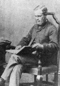
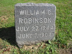
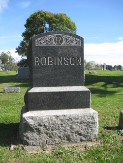
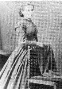
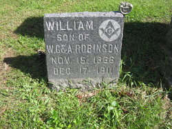
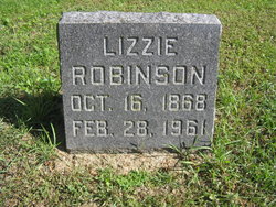
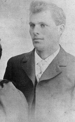
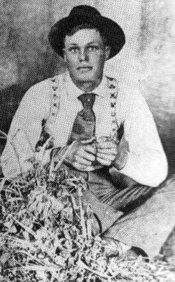
William Cass Robinson
| Birth | : | 27 Jul 1844 Scarborough, Scarborough Borough, North Yorkshire, England |
| Death | : | 7 Jun 1904 Rhodes, Marshall County, Iowa, USA |
| Burial | : | Cleve General Cemetery, Cleve, District Council of Cleve, Australia |
| Coordinate | : | -33.7119600, 136.5104900 |
| Description | : | "William was born in Falsgrave, Yorkshire, England, His wife Amelia was born in Scarboro, England in 1844. William came to America in 1868, leaving his wife and brother and sister in England. Amelia followed later with baby Billie. They first settled near Peoria, South of Maxwell, IA., and the next Spring moved to Jasper Co., south of Collins, IA. In the Autumn of 1877, the family moved to a farm that borders the northwest side of Hendrickson Marsh. It was here they raised their family of six boys and two girls. Two daughters died in infancy. William Cass died... Read More |
frequently asked questions (FAQ):
-
Where is William Cass Robinson's memorial?
William Cass Robinson's memorial is located at: Cleve General Cemetery, Cleve, District Council of Cleve, Australia.
-
When did William Cass Robinson death?
William Cass Robinson death on 7 Jun 1904 in Rhodes, Marshall County, Iowa, USA
-
Where are the coordinates of the William Cass Robinson's memorial?
Latitude: -33.7119600
Longitude: 136.5104900
Family Members:
Spouse
Children
Flowers:
Nearby Cemetories:
1. Cleve General Cemetery
Cleve, District Council of Cleve, Australia
Coordinate: -33.7119600, 136.5104900
2. Wangaraleednie Cemetery
Cleve, District Council of Cleve, Australia
Coordinate: -33.6835000, 136.6150000
3. Arno Bay Cemetery
Arno Bay, District Council of Cleve, Australia
Coordinate: -33.9072650, 136.5770880
4. Verran Cemetery
District Council of Cleve, Australia
Coordinate: -33.8583640, 136.3114450
5. Cowell Cemetery
Cowell, District Council of Franklin Harbour, Australia
Coordinate: -33.6762100, 136.9114400
6. Cowell Old Pioneer Cemetery
Cowell, District Council of Franklin Harbour, Australia
Coordinate: -33.6976350, 136.9193890
7. Darke Peake Cemetery
Darke Peak, District Council of Cleve, Australia
Coordinate: -33.4691950, 136.1905290
8. Port Neill Cemetery
Port Neill, District Council of Tumby Bay, Australia
Coordinate: -34.1315550, 136.3412570
9. Kimba Cemetery
Kimba, District Council of Kimba, Australia
Coordinate: -33.1511480, 136.4249750
10. Lock Cemetery
Lock, District Council of Elliston, Australia
Coordinate: -33.5804880, 135.7507950
11. Lipson Cemetery
Lipson, District Council of Tumby Bay, Australia
Coordinate: -34.2873733, 136.1458597
12. Tumby Bay Cemetery
Tumby Bay, District Council of Tumby Bay, Australia
Coordinate: -34.3587930, 136.0990750
13. Cummins Cemetery
Cummins, District Council of Lower Eyre Peninsula, Australia
Coordinate: -34.2745790, 135.7529820
14. Cummins Lutheran Cemetery
Cummins, District Council of Lower Eyre Peninsula, Australia
Coordinate: -34.2590990, 135.7272830
15. Warramboo Cemetery
Wudinna District Council, Australia
Coordinate: -33.2452530, 135.6050880
16. Koppio Cemetery
Koppio, District Council of Tumby Bay, Australia
Coordinate: -34.4094440, 135.8451350
17. Wallaroo Cemetery
Wallaroo, District Council of Copper Coast, Australia
Coordinate: -33.9403210, 137.6203380
18. Moonta Cemetery
Moonta, District Council of Copper Coast, Australia
Coordinate: -34.0750300, 137.5855800
19. Kyancutta Cemetery
Kyancutta, Wudinna District Council, Australia
Coordinate: -33.1364090, 135.5631355
20. Poonindie Cemetery
Poonindie, District Council of Lower Eyre Peninsula, Australia
Coordinate: -34.5879840, 135.8793750
21. Kadina Cemetery
Kadina, District Council of Copper Coast, Australia
Coordinate: -33.9475370, 137.7096720
22. Mount Hope Cemetery
Mount Hope, District Council of Lower Eyre Peninsula, Australia
Coordinate: -34.1172880, 135.3413390
23. North Shields Cemetery
Port Lincoln, Port Lincoln City, Australia
Coordinate: -34.6250510, 135.8656880
24. Sheringa Cemetery
Sheringa, District Council of Elliston, Australia
Coordinate: -33.8620550, 135.2394580

