
| Memorials | : | 8 |
| Location | : | Carter County, USA |
| Coordinate | : | 36.2562300, -81.9419000 |
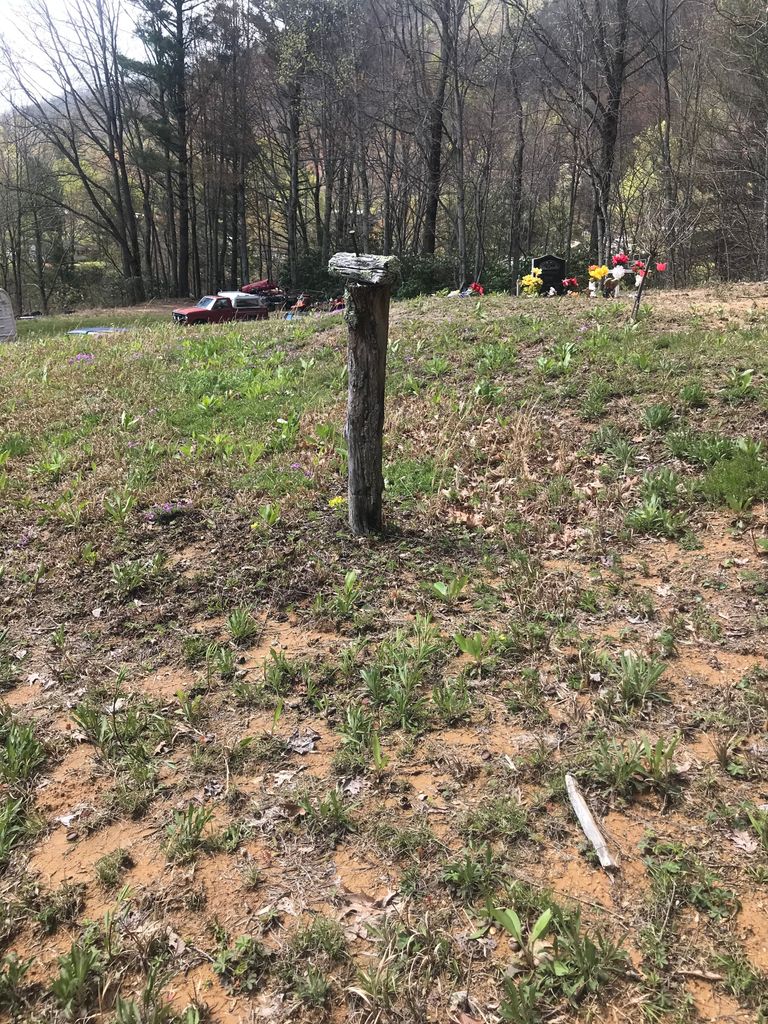
| Description | : | From Elizabethton, take 321 South to Elk Mills. Make a rightt on Poga Road, Continue on Poga Road past the Piney Grove Church of Christ to the physical address of 1485 Poga Road. This farm is located at 1485 Poga Road. This is the farm that originally belonged to Harrison Potter. The property is now occupied by his grandson. Harrison is the only person buried on the property at this time. (7-10-2012). |
frequently asked questions (FAQ):
-
Where is 1485 Poga Road Cemetery?
1485 Poga Road Cemetery is located at 1485 Poga Road Carter County ,Tennessee , 37640USA.
-
1485 Poga Road Cemetery cemetery's updated grave count on graveviews.com?
8 memorials
-
Where are the coordinates of the 1485 Poga Road Cemetery?
Latitude: 36.2562300
Longitude: -81.9419000
Nearby Cemetories:
1. Flat Springs Baptist Church Cemetery
Elk Park, Avery County, USA
Coordinate: 36.2539960, -81.9337660
2. Old Beech Mountain Cemetery
Flat Springs, Avery County, USA
Coordinate: 36.2426120, -81.9327740
3. John Harmon Cemetery
Elk Park, Avery County, USA
Coordinate: 36.2475600, -81.9223100
4. Mitchell Cemetery
Whaley, Avery County, USA
Coordinate: 36.2372120, -81.9329670
5. Estep Cemetery
Whaley, Avery County, USA
Coordinate: 36.2372550, -81.9321410
6. Clawson Cemetery #1
Carter County, USA
Coordinate: 36.2382900, -81.9555800
7. Hicks Family Cemetery
Beech Mountain, Avery County, USA
Coordinate: 36.2397300, -81.9247160
8. Stanberry Cemetery
Johnson County, USA
Coordinate: 36.2771200, -81.9306400
9. Burton Cemetery
Johnson County, USA
Coordinate: 36.2771988, -81.9308014
10. Thompson Family Cemetery
Beech Mountain, Avery County, USA
Coordinate: 36.2358450, -81.9268510
11. Stines Family Cemetery
Whaley, Avery County, USA
Coordinate: 36.2426400, -81.9173400
12. McGuire Cemetery
Elk Park, Avery County, USA
Coordinate: 36.2332993, -81.9319000
13. Clawson Cemetery
Carter County, USA
Coordinate: 36.2358600, -81.9604500
14. Harrison Stanberry Cemetery
Butler, Johnson County, USA
Coordinate: 36.2805600, -81.9321000
15. Stanbery Cemetery
Buntontown, Johnson County, USA
Coordinate: 36.2805600, -81.9320700
16. Trivett Cemetery North Hill Gap
Elk Park, Avery County, USA
Coordinate: 36.2302890, -81.9441460
17. Joel Trivett Cemetery
Avery County, USA
Coordinate: 36.2328510, -81.9561200
18. Mount Gilead Baptist Church Cemetery
Mount Gilead, Avery County, USA
Coordinate: 36.2676800, -81.9101300
19. Cable Cemetery
Elk Mills, Carter County, USA
Coordinate: 36.2638610, -81.9756890
20. Stone Mountain Baptist Church Cemetery
Elk Mills, Carter County, USA
Coordinate: 36.2498280, -81.9774910
21. Harmon Cemetery
Carter County, USA
Coordinate: 36.2307740, -81.9602820
22. Ward Cemetery
Avery County, USA
Coordinate: 36.2496986, -81.9047012
23. Evans Potter Cemetery
Buntontown, Johnson County, USA
Coordinate: 36.2808800, -81.9650200
24. Farthing Cemetery
Butler, Johnson County, USA
Coordinate: 36.2825500, -81.9214500