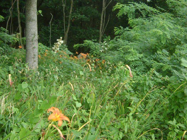
| Memorials | : | 0 |
| Location | : | Friendship, Ripley County, USA |
| Coordinate | : | 39.0088870, -85.1670570 |
| Description | : | Cemetery is located about 40 feet west of S Friendship Road at its intersection with E County Road 450 S about three miles north of Friendship, Indiana, and about a half mile south of the former village of Haven, Indiana. There are at least four unmarked graves here. Data was collected by Violet E. Toph on July 15 1936 and is listed in the 1984 Ripley County Historical Society book "Brown Township Cemetery Records Ripley County, Indiana" The cemetery is located in Brown Township. Indiana Cemetery Locations, Volume 2, published by the Indiana Genealogical Society (01... Read More |
frequently asked questions (FAQ):
-
Where is Henschen Farm Cemetery?
Henschen Farm Cemetery is located at 4304 S Friendship Road Friendship, Ripley County ,Indiana , 47042USA.
-
Henschen Farm Cemetery cemetery's updated grave count on graveviews.com?
0 memorials
-
Where are the coordinates of the Henschen Farm Cemetery?
Latitude: 39.0088870
Longitude: -85.1670570
Nearby Cemetories:
1. Bartlett Family Cemetery
Washington Township, Ripley County, USA
Coordinate: 39.0165300, -85.1718300
2. Saint Peters Evangelical Lutheran Cemetery
Friendship, Ripley County, USA
Coordinate: 38.9985500, -85.1598500
3. Blair Cemetery
Ripley County, USA
Coordinate: 39.0044240, -85.1936050
4. Green Cemetery
Ripley County, USA
Coordinate: 39.0311440, -85.1787080
5. Connell Cemetery
Ripley County, USA
Coordinate: 38.9850006, -85.1616974
6. Obendorf Family Cemetery
Cross Plains, Ripley County, USA
Coordinate: 38.9777000, -85.1853000
7. Akers and Friendship Cemetery
Friendship, Ripley County, USA
Coordinate: 38.9757210, -85.1492880
8. Saint Peters Cemetery
Olean, Ripley County, USA
Coordinate: 38.9902000, -85.2149887
9. Wilson Family Cemetery
Ripley County, USA
Coordinate: 39.0419006, -85.2043991
10. Washington Baptist Church Cemetery
Elrod, Ripley County, USA
Coordinate: 39.0525017, -85.1583099
11. Saint Pauls Church Cemetery
Olean, Ripley County, USA
Coordinate: 38.9888440, -85.2195200
12. Bethel Cemetery
Versailles, Ripley County, USA
Coordinate: 39.0377998, -85.2138977
13. Weakman Family Cemetery
Olean, Ripley County, USA
Coordinate: 38.9767010, -85.2140500
14. Ellerman Cemetery
Ripley County, USA
Coordinate: 38.9765000, -85.2143000
15. Wilson Cemetery
Ripley County, USA
Coordinate: 38.9606018, -85.1427994
16. Henderson Cemetery
Ripley County, USA
Coordinate: 39.0530620, -85.2034060
17. Dickey Family Cemetery
Versailles, Ripley County, USA
Coordinate: 39.0561180, -85.2046356
18. Gilliland Cemetery
Cross Plains, Ripley County, USA
Coordinate: 38.9512660, -85.1661870
19. Arford Cemetery
Cross Plains, Ripley County, USA
Coordinate: 38.9505005, -85.1674576
20. Washington Township Unidentified Family Cemetery
Washington Township, Ripley County, USA
Coordinate: 39.0578730, -85.1214690
21. Saint Paul Lutheran Cemetery
Dewberry, Ripley County, USA
Coordinate: 38.9495316, -85.1501694
22. Coles Chapel Cemetery
Farmers Retreat, Dearborn County, USA
Coordinate: 38.9697189, -85.1026993
23. Saint Johns Lutheran Cemetery
Farmers Retreat, Dearborn County, USA
Coordinate: 38.9692860, -85.0989280
24. Nicholson Family Cemetery
Ripley County, USA
Coordinate: 38.9516983, -85.2130966

