| Memorials | : | 10 |
| Location | : | Sherman, Grayson County, USA |
| Coordinate | : | 33.5671997, -96.5991974 |
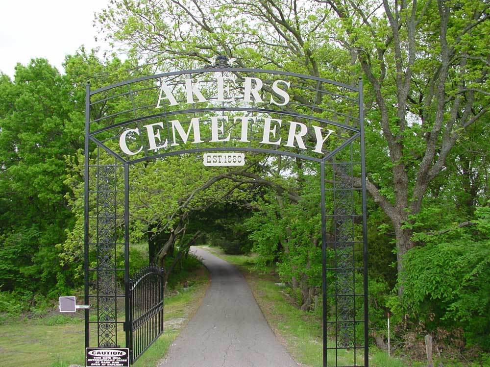
| Description | : | Located on South Sherman Highway 75. Traveling South exit Sheppard Drive, exit number 45-A, cross under the the highway and go north on the Access Road and about 1/3 of mile a arched gate on the right side leads to the cemetery which can't be seen from the road. For those traveling North on Highway 75, exit Sheppard Drive exit number 45-A and stay on the Access Road until reaching the gate about 1/2 mile. |
frequently asked questions (FAQ):
-
Where is Akers Cemetery?
Akers Cemetery is located at Sherman, Grayson County ,Texas ,USA.
-
Akers Cemetery cemetery's updated grave count on graveviews.com?
10 memorials
-
Where are the coordinates of the Akers Cemetery?
Latitude: 33.5671997
Longitude: -96.5991974
Nearby Cemetories:
1. Boyd Cemetery
Sherman, Grayson County, USA
Coordinate: 33.5737750, -96.6211460
2. Witten Cemetery
Sherman, Grayson County, USA
Coordinate: 33.6048180, -96.6087440
3. Luella Cemetery
Luella, Grayson County, USA
Coordinate: 33.5633011, -96.5524979
4. Saint Marys Cemetery
Sherman, Grayson County, USA
Coordinate: 33.6145706, -96.6026535
5. Holloway Cemetery
Luella, Grayson County, USA
Coordinate: 33.5410995, -96.5505981
6. Cottonwood Cemetery
Sherman, Grayson County, USA
Coordinate: 33.6152800, -96.5723560
7. Harris Cemetery
Luella, Grayson County, USA
Coordinate: 33.5517460, -96.5298300
8. Judy Cemetery
Howe, Grayson County, USA
Coordinate: 33.5049425, -96.5777349
9. Burleson Cemetery
Grayson County, USA
Coordinate: 33.5890007, -96.5250015
10. Providence Cemetery
Grayson County, USA
Coordinate: 33.5886002, -96.5243988
11. Austin Street Cemetery
Grayson County, USA
Coordinate: 33.6323000, -96.6132400
12. West Hill Cemetery
Sherman, Grayson County, USA
Coordinate: 33.6319008, -96.6194000
13. White Mound Cemetery
Tom Bean, Grayson County, USA
Coordinate: 33.5278015, -96.5214005
14. Cedar Cemetery
Luella, Grayson County, USA
Coordinate: 33.5607986, -96.5069122
15. Forest Woodmen Circle Cemetery
Sherman, Grayson County, USA
Coordinate: 33.6355700, -96.6438100
16. Hall Cemetery
Howe, Grayson County, USA
Coordinate: 33.4958000, -96.6549988
17. Friendship Cemetery
Sherman, Grayson County, USA
Coordinate: 33.6344910, -96.6636734
18. Blue Creek Cemetery
Sherman, Grayson County, USA
Coordinate: 33.6361620, -96.5259250
19. Hackberry Cemetery
Van Alstyne, Grayson County, USA
Coordinate: 33.4653600, -96.6135170
20. Grayson County Farm Cemetery
Sherman, Grayson County, USA
Coordinate: 33.6614609, -96.6480865
21. County Farm Cemetery
Grayson County, USA
Coordinate: 33.6615050, -96.6487230
22. Bethany Cemetery
Grayson County, USA
Coordinate: 33.6478004, -96.5167007
23. White Rock Cemetery
Grayson County, USA
Coordinate: 33.5641050, -96.4660550
24. Cherry Cemetery
Grayson County, USA
Coordinate: 33.6543999, -96.5083008

