
| Memorials | : | 0 |
| Location | : | Grayson County, USA |
| Coordinate | : | 33.6615050, -96.6487230 |
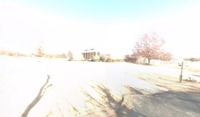
| Description | : | [Memorials for the County Farm Cemetery have been transferred to Find A Grave's VADEN FAMILY CEMETERY, Shady Oaks Circle, Sherman, Grayson Co, TX] Now known as Vaden Family Cemetery, the County Farm Cemetery was on the site of the Grayson County Poor Farm near Sherman, TX. There were probably never any permanent grave markers for most of the county's indigents or for residents of the Poor Farm. A satellite view shows this location is now a small residential development. |
frequently asked questions (FAQ):
-
Where is County Farm Cemetery?
County Farm Cemetery is located at Grayson County ,Texas ,USA.
-
County Farm Cemetery cemetery's updated grave count on graveviews.com?
0 memorials
-
Where are the coordinates of the County Farm Cemetery?
Latitude: 33.6615050
Longitude: -96.6487230
Nearby Cemetories:
1. Grayson County Farm Cemetery
Sherman, Grayson County, USA
Coordinate: 33.6614609, -96.6480865
2. Forest Woodmen Circle Cemetery
Sherman, Grayson County, USA
Coordinate: 33.6355700, -96.6438100
3. Friendship Cemetery
Sherman, Grayson County, USA
Coordinate: 33.6344910, -96.6636734
4. Keirsey Cemetery
Sherman, Grayson County, USA
Coordinate: 33.6949997, -96.6575012
5. Wimberly Family Cemetery
Sherman, Grayson County, USA
Coordinate: 33.6621100, -96.6927280
6. West Hill Cemetery
Sherman, Grayson County, USA
Coordinate: 33.6319008, -96.6194000
7. Offutt Cemetery
Sherman, Grayson County, USA
Coordinate: 33.6760406, -96.6941223
8. Austin Street Cemetery
Grayson County, USA
Coordinate: 33.6323000, -96.6132400
9. Saint Marys Cemetery
Sherman, Grayson County, USA
Coordinate: 33.6145706, -96.6026535
10. Hendrix Cemetery
Sherman, Grayson County, USA
Coordinate: 33.6833330, -96.5775170
11. Witten Cemetery
Sherman, Grayson County, USA
Coordinate: 33.6048180, -96.6087440
12. Cedarlawn Memorial Park
Sherman, Grayson County, USA
Coordinate: 33.6947289, -96.5741501
13. Ellsworth Community Cemetery
Ellsworth, Grayson County, USA
Coordinate: 33.7045990, -96.5801240
14. Enterprise Cemetery
Pottsboro, Grayson County, USA
Coordinate: 33.7230988, -96.6988983
15. Iron Ore Cemetery
Denison, Grayson County, USA
Coordinate: 33.7102750, -96.5810680
16. Loftin-McLain Cemetery
Denison, Grayson County, USA
Coordinate: 33.7143600, -96.5835100
17. Cottonwood Cemetery
Sherman, Grayson County, USA
Coordinate: 33.6152800, -96.5723560
18. Shannon Cemetery
Sherman, Grayson County, USA
Coordinate: 33.6845093, -96.5494766
19. Campbell Family Cemetery
Grayson County, USA
Coordinate: 33.7499540, -96.6368960
20. Boyd Cemetery
Sherman, Grayson County, USA
Coordinate: 33.5737750, -96.6211460
21. Taylor Family Cemetery
Sherman, Grayson County, USA
Coordinate: 33.6729100, -96.5380700
22. Akers Cemetery
Sherman, Grayson County, USA
Coordinate: 33.5671997, -96.5991974
23. Clark Cemetery
Denison, Grayson County, USA
Coordinate: 33.7477510, -96.5807460
24. Holder Cemetery
Denison, Grayson County, USA
Coordinate: 33.7646820, -96.6271480