
| Memorials | : | 0 |
| Location | : | Akitio, Tararua District, New Zealand |
| Coordinate | : | -40.5936554, 176.4251922 |
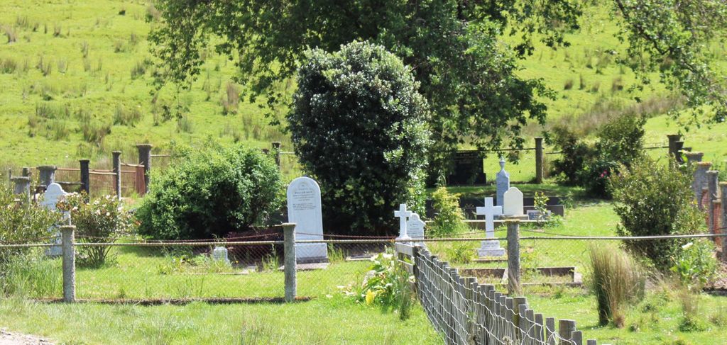
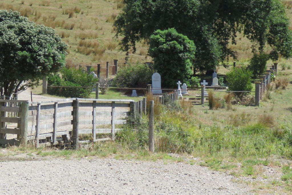
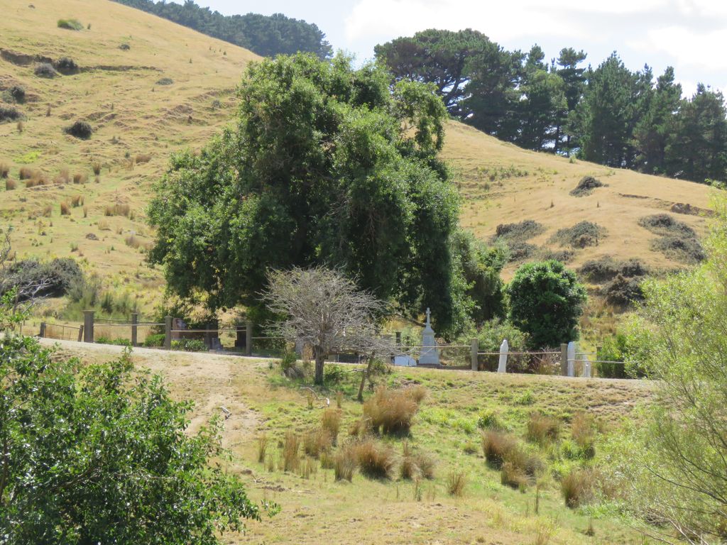
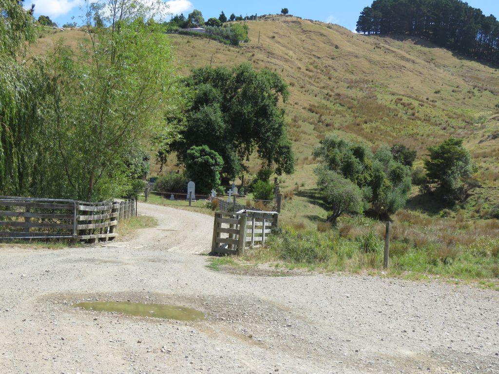
| Description | : | The Akitio Station is situated on the East Coast, 85 klm Southeast of Dannevirke, 32 klm Southeast of Pongaroa and lies within the Regional boundaries of Whanganui-Manawatu district. The Station is owned by the Kight family. The Cemetery is situated within the Akitio Station, on River Road, Akitio, opposite the woolshed. The Cemetery is well kept and planted with trees and shrubs and roses, the memorias have in recent times been cleaned and lettering replaced. The earliest death date recorded is from 1878. There are a number of the Kight family members buried at the Cemetery, as well as people who over the years... Read More |
frequently asked questions (FAQ):
-
Where is Akitio Station Cemetery?
Akitio Station Cemetery is located at River Road Akitio, Tararua District ,Manawatū-Whanganui ,New Zealand.
-
Akitio Station Cemetery cemetery's updated grave count on graveviews.com?
0 memorials
-
Where are the coordinates of the Akitio Station Cemetery?
Latitude: -40.5936554
Longitude: 176.4251922
Nearby Cemetories:
1. Owananga Station Cemetery
Pongaroa, Tararua District, New Zealand
Coordinate: -40.6692650, 176.3413350
2. Wainui Cemetery
Herbertville, Tararua District, New Zealand
Coordinate: -40.5066410, 176.5331160
3. Crispin Grove Cemetery
Herbertville, Tararua District, New Zealand
Coordinate: -40.4650000, 176.5550000
4. Pongaroa cemetery
Pahiatua, Tararua District, New Zealand
Coordinate: -40.5448890, 176.1975300
5. Weber Cemetery
Dannevirke, Tararua District, New Zealand
Coordinate: -40.4011600, 176.3112550
6. Pokakanui Urupā
Porangahau, Central Hawke's Bay District, New Zealand
Coordinate: -40.3190660, 176.5985750
7. Kaiwhitikitiki Urupā
Porangahau, Central Hawke's Bay District, New Zealand
Coordinate: -40.3064010, 176.6087780
8. Waipuna Urupā
Porangahau, Central Hawke's Bay District, New Zealand
Coordinate: -40.3104480, 176.6227650
9. St Michael & All Angel's Anglican Church Cemetery
Porangahau, Central Hawke's Bay District, New Zealand
Coordinate: -40.3022980, 176.6154250
10. Castlepoint Cemetery
Masterton, Masterton District, New Zealand
Coordinate: -40.8972060, 176.2189360
11. Tinui Cemetery
Masterton, Masterton District, New Zealand
Coordinate: -40.8714040, 176.0976860
12. Kumeroa Cemetery
Kumeroa, Tararua District, New Zealand
Coordinate: -40.3294480, 176.0238960
13. Kaitawa Cemetery
Kaitawa, Tararua District, New Zealand
Coordinate: -40.4939310, 175.8824710
14. Alfredton Cemetery
Alfredton, Tararua District, New Zealand
Coordinate: -40.6808500, 175.8670160
15. Tahoraiti Urupā
Dannevirke, Tararua District, New Zealand
Coordinate: -40.2428680, 176.0574580
16. Settlers Cemetery
Dannevirke, Tararua District, New Zealand
Coordinate: -40.2046600, 176.1107900
17. Mangatainoka Cemetery
Pahiatua, Tararua District, New Zealand
Coordinate: -40.4250620, 175.8597850
18. Mangatera Cemetery
Dannevirke, Tararua District, New Zealand
Coordinate: -40.1883520, 176.1180990
19. Lawn Woodville Cemetery
Woodville, Tararua District, New Zealand
Coordinate: -40.3390540, 175.8807710
20. Matamau Cemetery
Matamau, Tararua District, New Zealand
Coordinate: -40.1483730, 176.1531760
21. Church of St Francis of Assisi
Bideford, Masterton District, New Zealand
Coordinate: -40.8592400, 175.8714600
22. Ormondville Cemetery
Ormondville, Tararua District, New Zealand
Coordinate: -40.1036470, 176.2605290
23. Mangahao Cemetery
Ballance, Tararua District, New Zealand
Coordinate: -40.4276820, 175.7890440
24. RSA Woodville Cemetery
Woodville, Tararua District, New Zealand
Coordinate: -40.3362310, 175.8345210