
| Memorials | : | 16 |
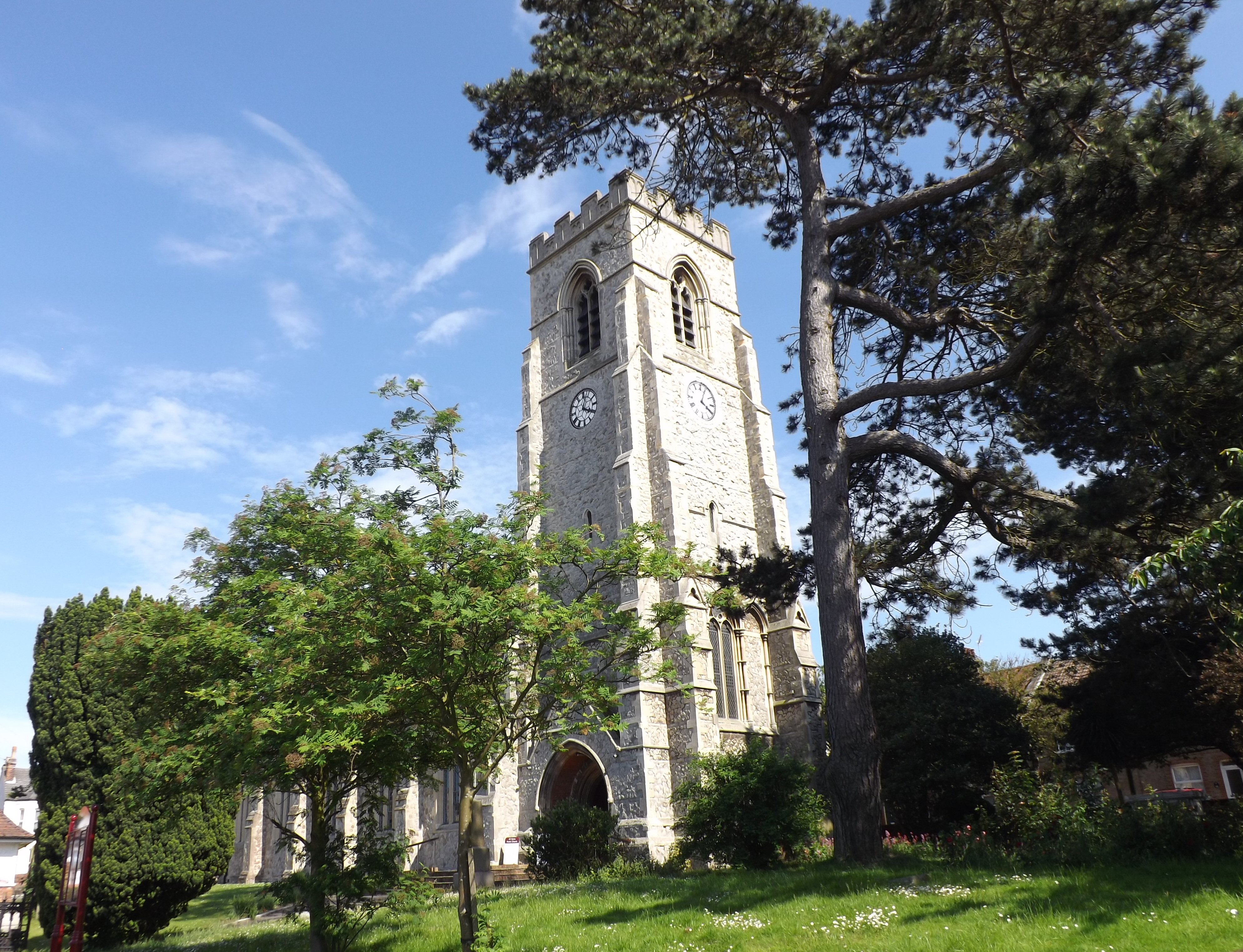
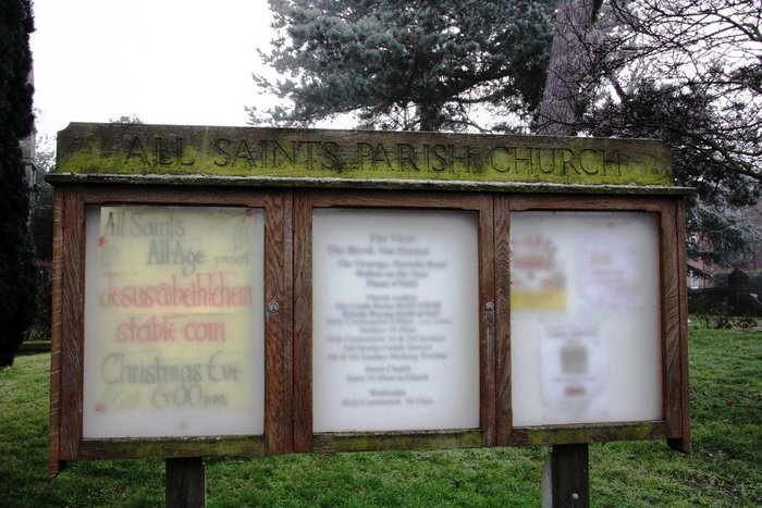
| Location | : | Walton-on-the-Naze, Tendring District, England |
| Coordinate | : | 51.8480900, 1.2663300 |
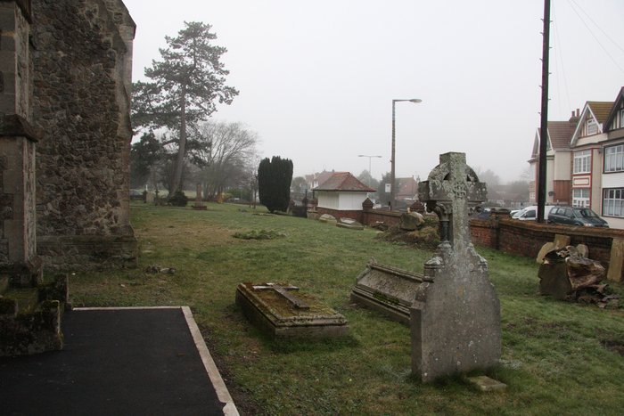
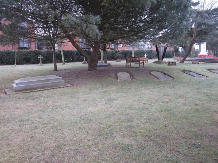
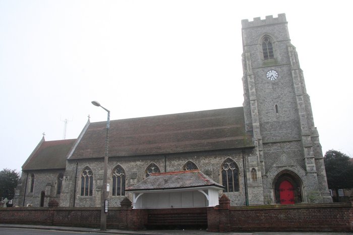
| Description | : | The churchyard extension contains 21 Commonwealth burials of the 1914-1918 war here, including (on South boundary) that of an unidentified seaman of the Royal Navy In a plot on the South boundary are buried 17 sailors and one Marine from H.M.S. "Conquest," all of whom died when the cutter from the ship was caught in a freak snow squall in Harwich harbour, in March, 1916. |
frequently asked questions (FAQ):
-
Where is All Saints Churchyard?
All Saints Churchyard is located at High Street Walton-on-the-Naze, Tendring District ,Essex , CO14 8BUEngland.
-
All Saints Churchyard cemetery's updated grave count on graveviews.com?
16 memorials
-
Where are the coordinates of the All Saints Churchyard?
Latitude: 51.8480900
Longitude: 1.2663300
Nearby Cemetories:
1. Walton-on-the-Naze Cemetery
Walton-on-the-Naze, Tendring District, England
Coordinate: 51.8475300, 1.2661800
2. St Mary Churchyard
Frinton-on-Sea, Tendring District, England
Coordinate: 51.8291690, 1.2453870
3. St Michael Churchyard
Kirby-le-Soken, Tendring District, England
Coordinate: 51.8527210, 1.2214760
4. Kirby Cross Cemetery
Kirby Cross, Tendring District, England
Coordinate: 51.8401820, 1.2181840
5. All Saints Churchyard
Frinton-on-Sea, Tendring District, England
Coordinate: 51.8287263, 1.2192621
6. St Michael Churchyard
Thorpe-le-Soken, Tendring District, England
Coordinate: 51.8566770, 1.1631870
7. St. Leonard's Churchyard
Beaumont, Tendring District, England
Coordinate: 51.8778500, 1.1656000
8. Clacton Cemetery
Clacton-on-Sea, Tendring District, England
Coordinate: 51.8080410, 1.1650260
9. All Saints Churchyard
Great Oakley, Tendring District, England
Coordinate: 51.9013700, 1.1781500
10. Great Oakley Cemetery
Great Oakley, Tendring District, England
Coordinate: 51.9021500, 1.1788900
11. St John the Baptist Churchyard
Clacton-on-Sea, Tendring District, England
Coordinate: 51.8049495, 1.1564588
12. St. Michael and All Angels Churchyard
Ramsey, Tendring District, England
Coordinate: 51.9282100, 1.2252700
13. Dovercourt Cemetery
Dovercourt, Tendring District, England
Coordinate: 51.9317800, 1.2499130
14. All Saints Churchyard
Dovercourt, Tendring District, England
Coordinate: 51.9334060, 1.2546450
15. St Andrew Churchyard
Weeley, Tendring District, England
Coordinate: 51.8507210, 1.1264710
16. Parkeston Cemetery
Parkeston, Tendring District, England
Coordinate: 51.9384300, 1.2579700
17. Weeley Crematorium
Weeley, Tendring District, England
Coordinate: 51.8596020, 1.1097050
18. Landguard Fort Graveyard
Felixstowe, Suffolk Coastal District, England
Coordinate: 51.9405105, 1.3199968
19. St Nicholas Churchyard
Harwich, Tendring District, England
Coordinate: 51.9457150, 1.2886510
20. St. Edmund King and Martyr Churchyard
Tendring, Tendring District, England
Coordinate: 51.8749900, 1.1123400
21. St. Mary's Churchyard
Wix, Tendring District, England
Coordinate: 51.9180038, 1.1444474
22. Oakfield Wood Burial Grounds
Wrabness, Tendring District, England
Coordinate: 51.9423870, 1.1536930
23. St. Mary's Churchyard
Little Bentley, Tendring District, England
Coordinate: 51.8824400, 1.0823100
24. St Mary's Church
Erwarton (Arwarton), Babergh District, England
Coordinate: 51.9661220, 1.2315200