
| Memorials | : | 0 |
| Location | : | Dovercourt, Tendring District, England |
| Coordinate | : | 51.9334060, 1.2546450 |
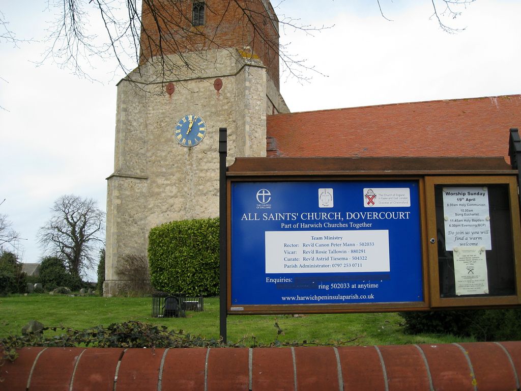
| Description | : | There are 55 wargraves here; the marker for Charles Algernon Fryatt, a casualty of WWI is of special interest. |
frequently asked questions (FAQ):
-
Where is All Saints Churchyard?
All Saints Churchyard is located at Main Road Dovercourt, Tendring District ,Essex , CO12 4LNEngland.
-
All Saints Churchyard cemetery's updated grave count on graveviews.com?
0 memorials
-
Where are the coordinates of the All Saints Churchyard?
Latitude: 51.9334060
Longitude: 1.2546450
Nearby Cemetories:
1. Dovercourt Cemetery
Dovercourt, Tendring District, England
Coordinate: 51.9317800, 1.2499130
2. Parkeston Cemetery
Parkeston, Tendring District, England
Coordinate: 51.9384300, 1.2579700
3. St. Michael and All Angels Churchyard
Ramsey, Tendring District, England
Coordinate: 51.9282100, 1.2252700
4. St Nicholas Churchyard
Harwich, Tendring District, England
Coordinate: 51.9457150, 1.2886510
5. St Mary's Church
Erwarton (Arwarton), Babergh District, England
Coordinate: 51.9661220, 1.2315200
6. Landguard Fort Graveyard
Felixstowe, Suffolk Coastal District, England
Coordinate: 51.9405105, 1.3199968
7. St. Mary's Church Cemetery
Shotley, Babergh District, England
Coordinate: 51.9773400, 1.2562500
8. St Mary Churchyard
Shotley, Babergh District, England
Coordinate: 51.9776180, 1.2558960
9. Shotley Royal Naval Cemetery
Shotley, Babergh District, England
Coordinate: 51.9780006, 1.2569460
10. St Mary Churchyard
Harkstead, Babergh District, England
Coordinate: 51.9727040, 1.1932330
11. Great Oakley Cemetery
Great Oakley, Tendring District, England
Coordinate: 51.9021500, 1.1788900
12. All Saints Churchyard
Great Oakley, Tendring District, England
Coordinate: 51.9013700, 1.1781500
13. Felixstowe Cemetery
Felixstowe, Suffolk Coastal District, England
Coordinate: 51.9649780, 1.3368740
14. Baptist Chapel's Burial Ground
Chelmondiston, Babergh District, England
Coordinate: 51.9898720, 1.2114610
15. Oakfield Wood Burial Grounds
Wrabness, Tendring District, England
Coordinate: 51.9423870, 1.1536930
16. St. Mary's Parish Churchyard
Trimley St Mary, Suffolk Coastal District, England
Coordinate: 51.9846250, 1.3145370
17. St. Martin Churchyard
Trimley St Martin, Suffolk Coastal District, England
Coordinate: 51.9851680, 1.3142220
18. St Andrew Churchyard
Chelmondiston, Babergh District, England
Coordinate: 51.9907400, 1.2097600
19. War Memorial
Felixstowe, Suffolk Coastal District, England
Coordinate: 51.9593220, 1.3493472
20. Walton Cemetery
Felixstowe, Suffolk Coastal District, England
Coordinate: 51.9723000, 1.3412500
21. St. Mary's Churchyard
Wix, Tendring District, England
Coordinate: 51.9180038, 1.1444474
22. St Peter's Churchyard
Levington, Suffolk Coastal District, England
Coordinate: 52.0047690, 1.2539900
23. St Peter Churchyard
Stutton, Babergh District, England
Coordinate: 51.9665950, 1.1452040
24. All Saints Churchyard
Holbrook, Babergh District, England
Coordinate: 51.9814290, 1.1589850