
| Memorials | : | 171 |
| Location | : | Freshwater, Isle of Wight Unitary Authority, England |
| Coordinate | : | 50.6843570, -1.5102280 |
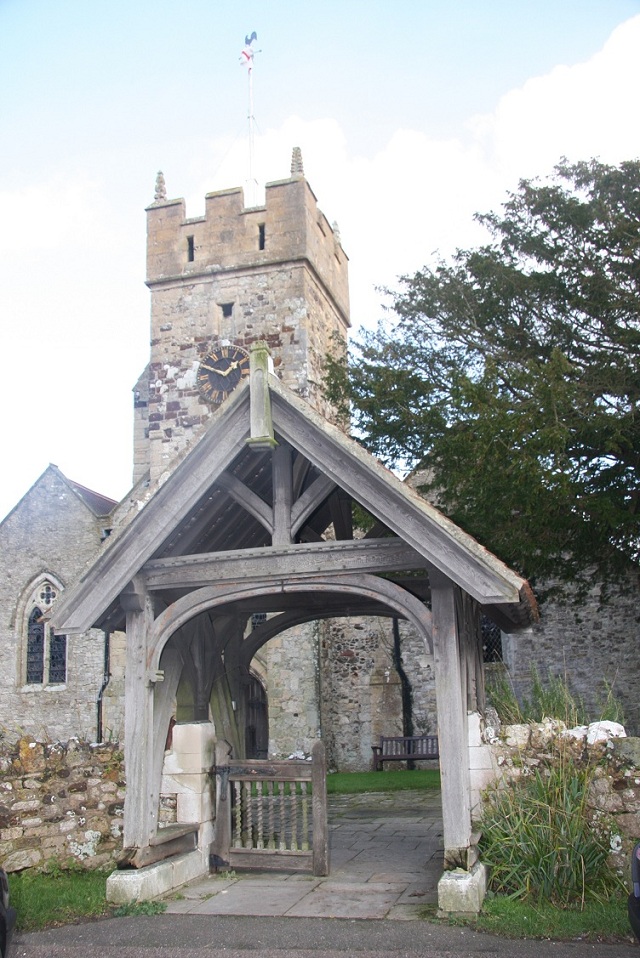
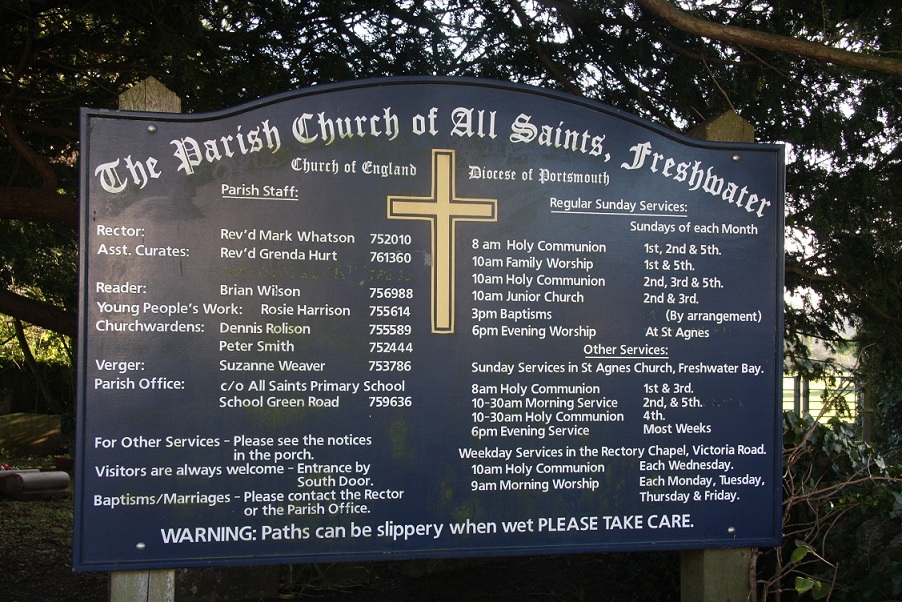
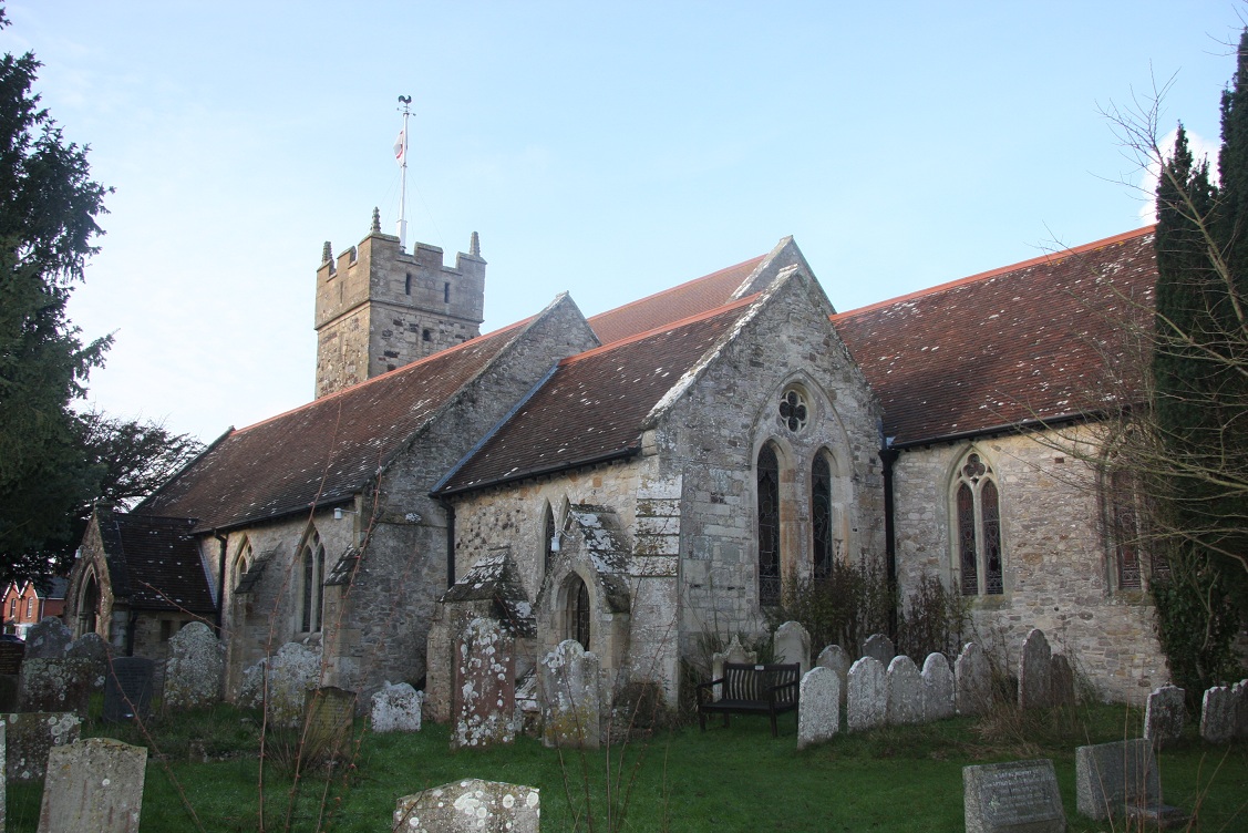
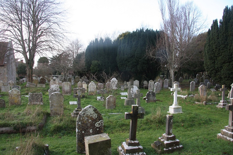
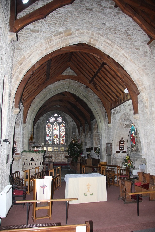
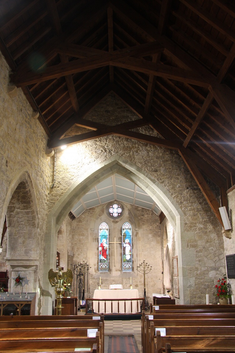
| Description | : | The parish church of All Saints, Freshwater stands above the head of the tidal estuary of the River Yar. This late Saxon church is one of the oldest buildings on the Isle of Wight dating back to the 9th century. The present church dates mostly from the 12th century with 14th century additions. The church was heavily restored in 1875-6 by W.T. Stratton. There are a number of interesting monuments in the church. On the north chapel wall is a beautiful late 14th century brass to a knight. The crowded churchyard contains tombs to members of Alfred, Lord Tennyson's family. |
frequently asked questions (FAQ):
-
Where is All Saints Churchyard?
All Saints Churchyard is located at Church Place Freshwater, Isle of Wight Unitary Authority ,Isle of Wight , PO40 9BPEngland.
-
All Saints Churchyard cemetery's updated grave count on graveviews.com?
164 memorials
-
Where are the coordinates of the All Saints Churchyard?
Latitude: 50.6843570
Longitude: -1.5102280
Nearby Cemetories:
1. St Agnes Churchyard
Freshwater, Isle of Wight Unitary Authority, England
Coordinate: 50.6731050, -1.5173550
2. St Saviour Roman Catholic Churchyard
Totland, Isle of Wight Unitary Authority, England
Coordinate: 50.6762700, -1.5410390
3. St James Churchyard
Yarmouth, Isle of Wight Unitary Authority, England
Coordinate: 50.7055370, -1.4991890
4. Christ Church Totland Bay
Totland, Isle of Wight Unitary Authority, England
Coordinate: 50.6760770, -1.5448160
5. St. Swithin's Old Churchyard
Thorley, Isle of Wight Unitary Authority, England
Coordinate: 50.7007450, -1.4815300
6. St. Mary the Virgin Churchyard
Brook, Isle of Wight Unitary Authority, England
Coordinate: 50.6577970, -1.4430340
7. St Peter and St Paul’s Churchyard
Mottistone, Isle of Wight Unitary Authority, England
Coordinate: 50.6517620, -1.4275530
8. St. Michael the Archangel Churchyard
Shalfleet, Isle of Wight Unitary Authority, England
Coordinate: 50.7014300, -1.4156370
9. All Saints Churchyard
Milford-on-Sea, New Forest District, England
Coordinate: 50.7278170, -1.5897770
10. All Saints Churchyard
Calbourne, Isle of Wight Unitary Authority, England
Coordinate: 50.6772990, -1.3996370
11. Holy Spirit Churchyard
Newtown, Isle of Wight Unitary Authority, England
Coordinate: 50.7143690, -1.4035400
12. St. Thomas the Apostle Churchyard
Lymington, New Forest District, England
Coordinate: 50.7576410, -1.5451200
13. St. Mark's Churchyard
Pennington, New Forest District, England
Coordinate: 50.7545700, -1.5631100
14. Calbourne Burial Ground
Calbourne, Isle of Wight Unitary Authority, England
Coordinate: 50.6832007, -1.3864018
15. Lymington Cemetery
Lymington, New Forest District, England
Coordinate: 50.7576200, -1.5576200
16. St. Mary the Virgin Churchyard
Brighstone, Isle of Wight Unitary Authority, England
Coordinate: 50.6422540, -1.3944850
17. St Mary Churchyard
South Baddesley, New Forest District, England
Coordinate: 50.7691430, -1.5026160
18. All Saints Churchyard
Hordle, New Forest District, England
Coordinate: 50.7549400, -1.6136200
19. Porchfield Congregational Cemetery
Porchfield, Isle of Wight Unitary Authority, England
Coordinate: 50.7190660, -1.3679770
20. Ashley Baptist Cemetery
New Milton, New Forest District, England
Coordinate: 50.7529200, -1.6336400
21. St Peter's Parish Church
Shorwell, Isle of Wight Unitary Authority, England
Coordinate: 50.6449290, -1.3545580
22. St Peter New Churchyard
Shorwell, Isle of Wight Unitary Authority, England
Coordinate: 50.6433100, -1.3541400
23. Milford Road Cemetery
New Milton, New Forest District, England
Coordinate: 50.7472700, -1.6502700
24. St. John The Baptist Churchyard
Boldre, New Forest District, England
Coordinate: 50.7924070, -1.5422530