
| Memorials | : | 27 |
| Location | : | Milford-on-Sea, New Forest District, England |
| Coordinate | : | 50.7278170, -1.5897770 |
frequently asked questions (FAQ):
-
Where is All Saints Churchyard?
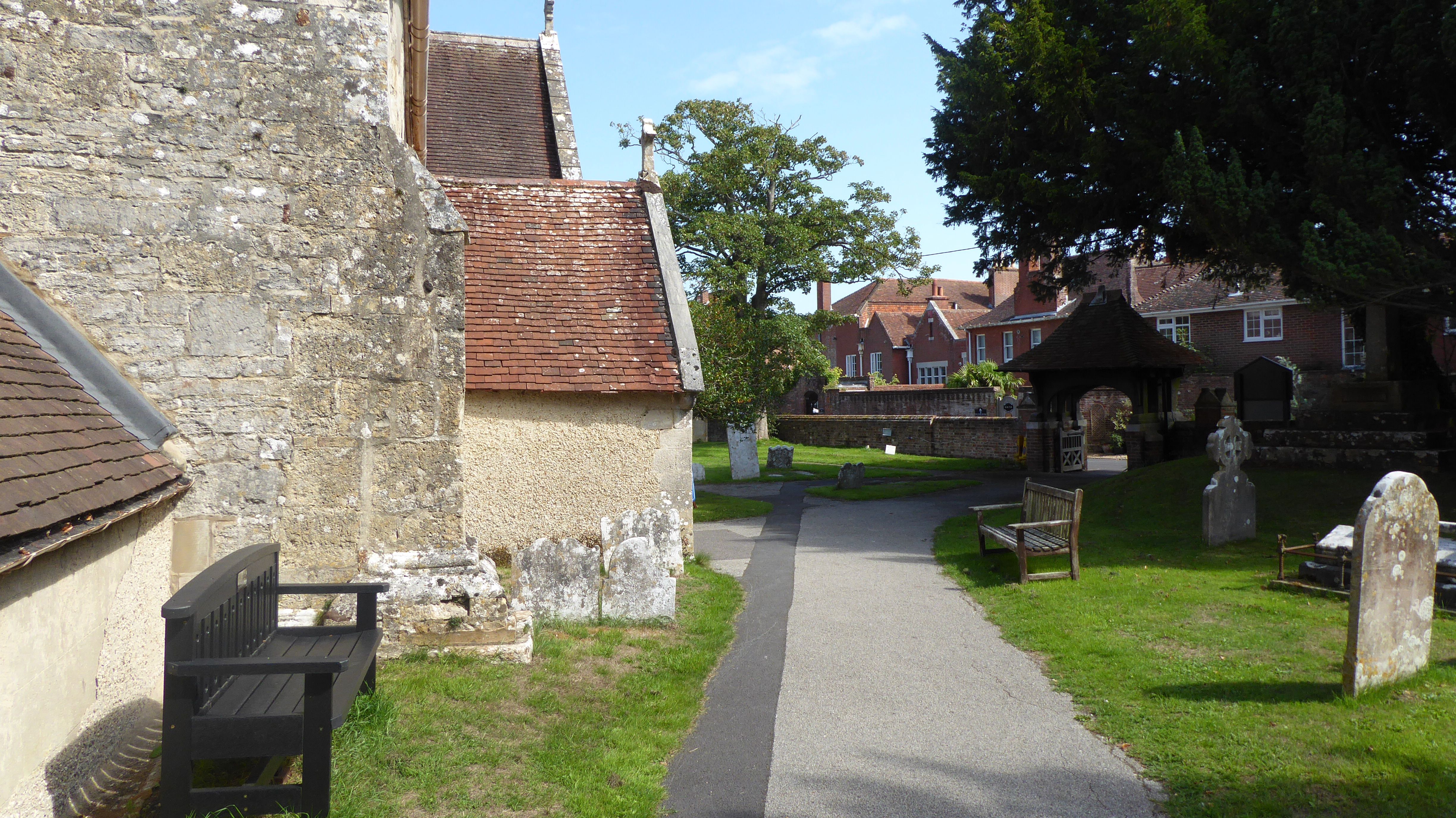
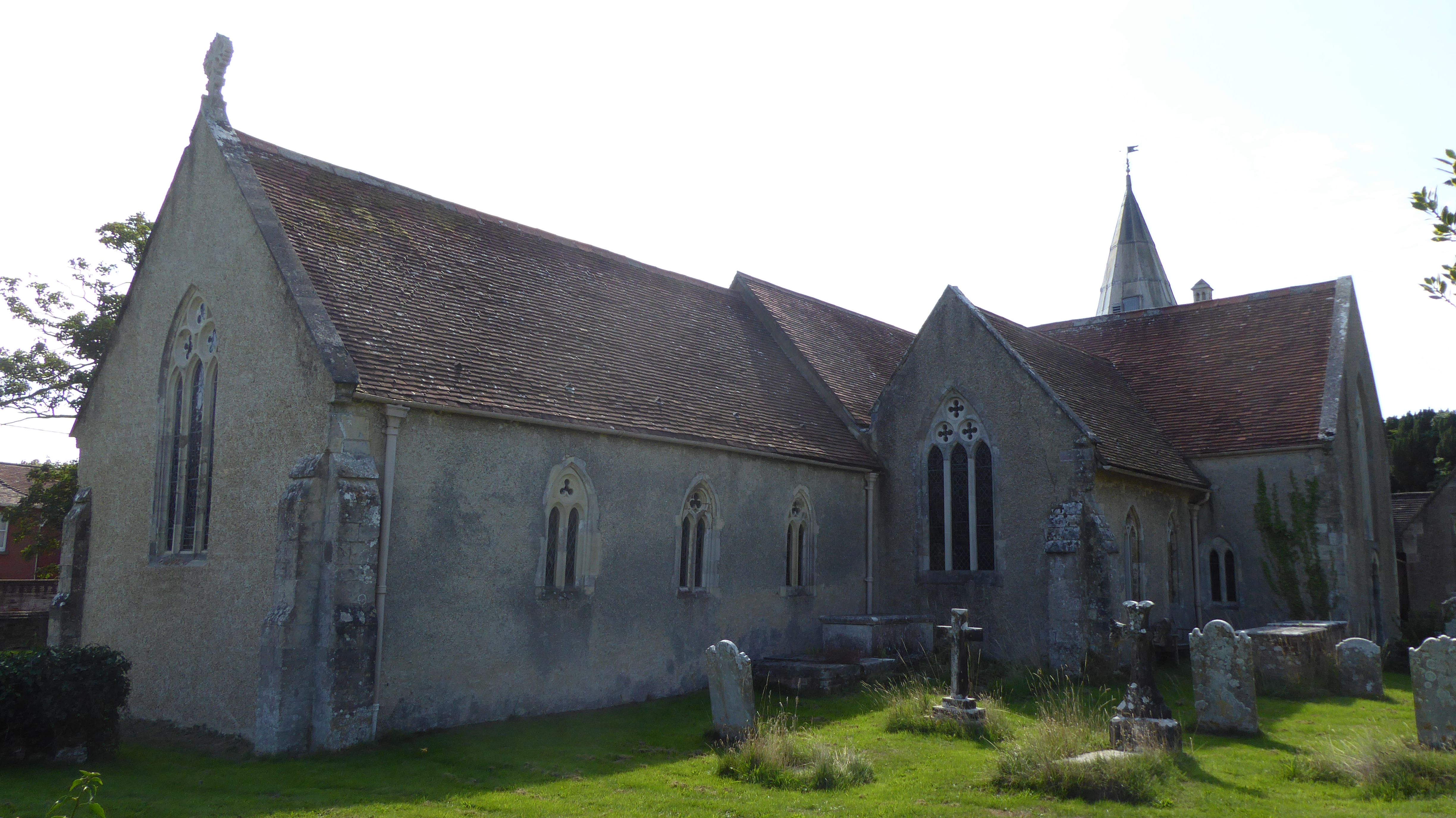
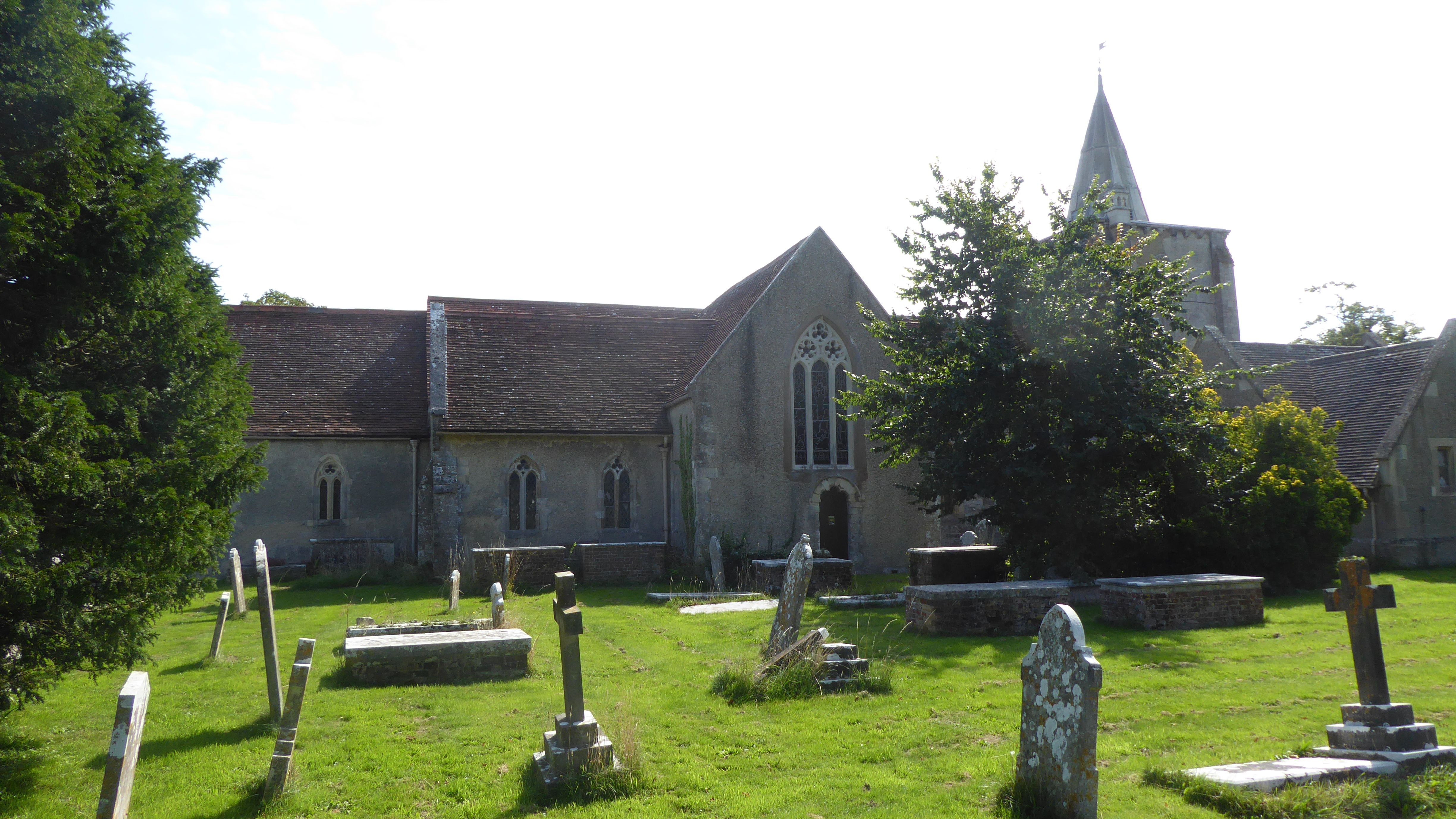
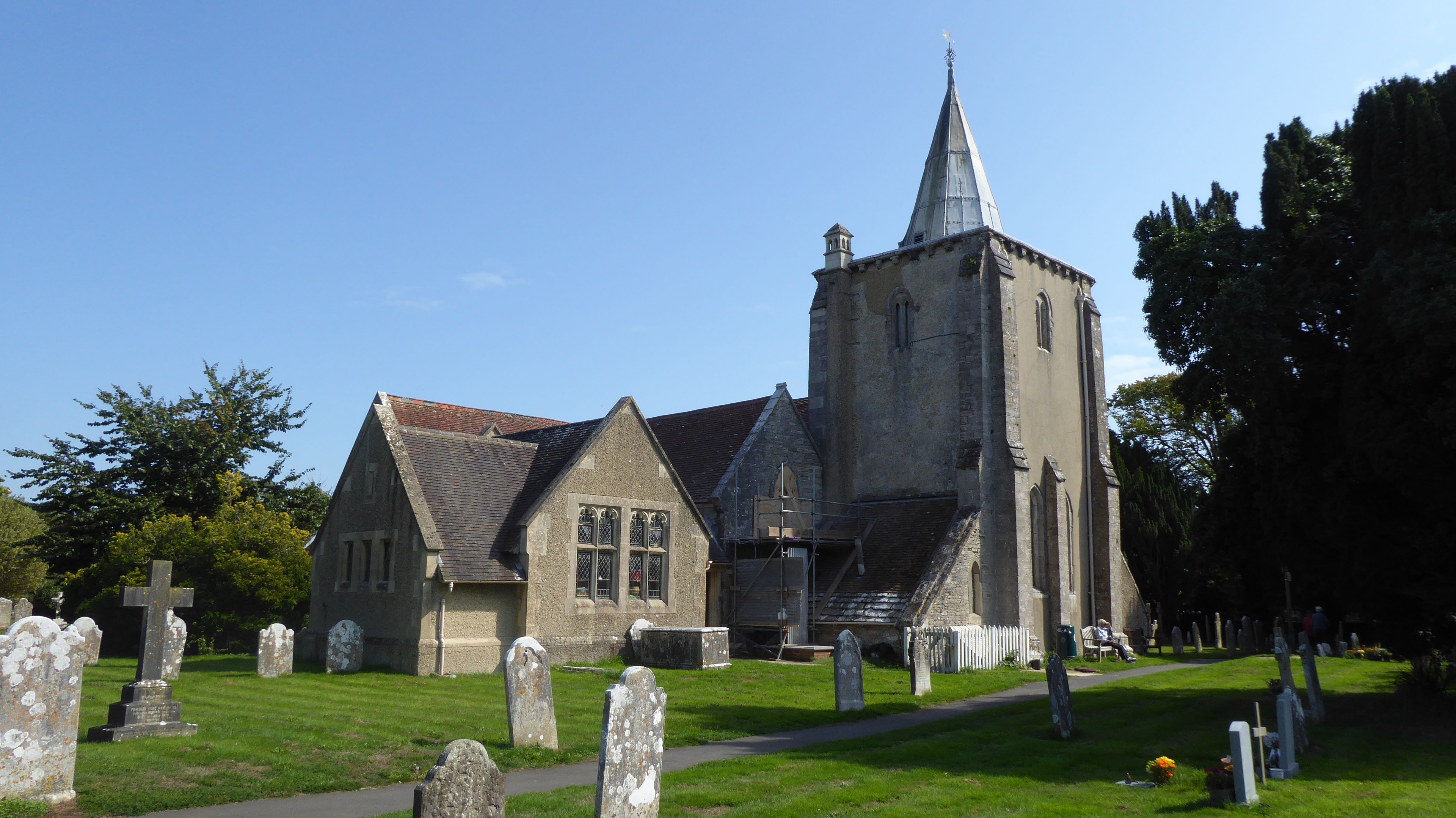
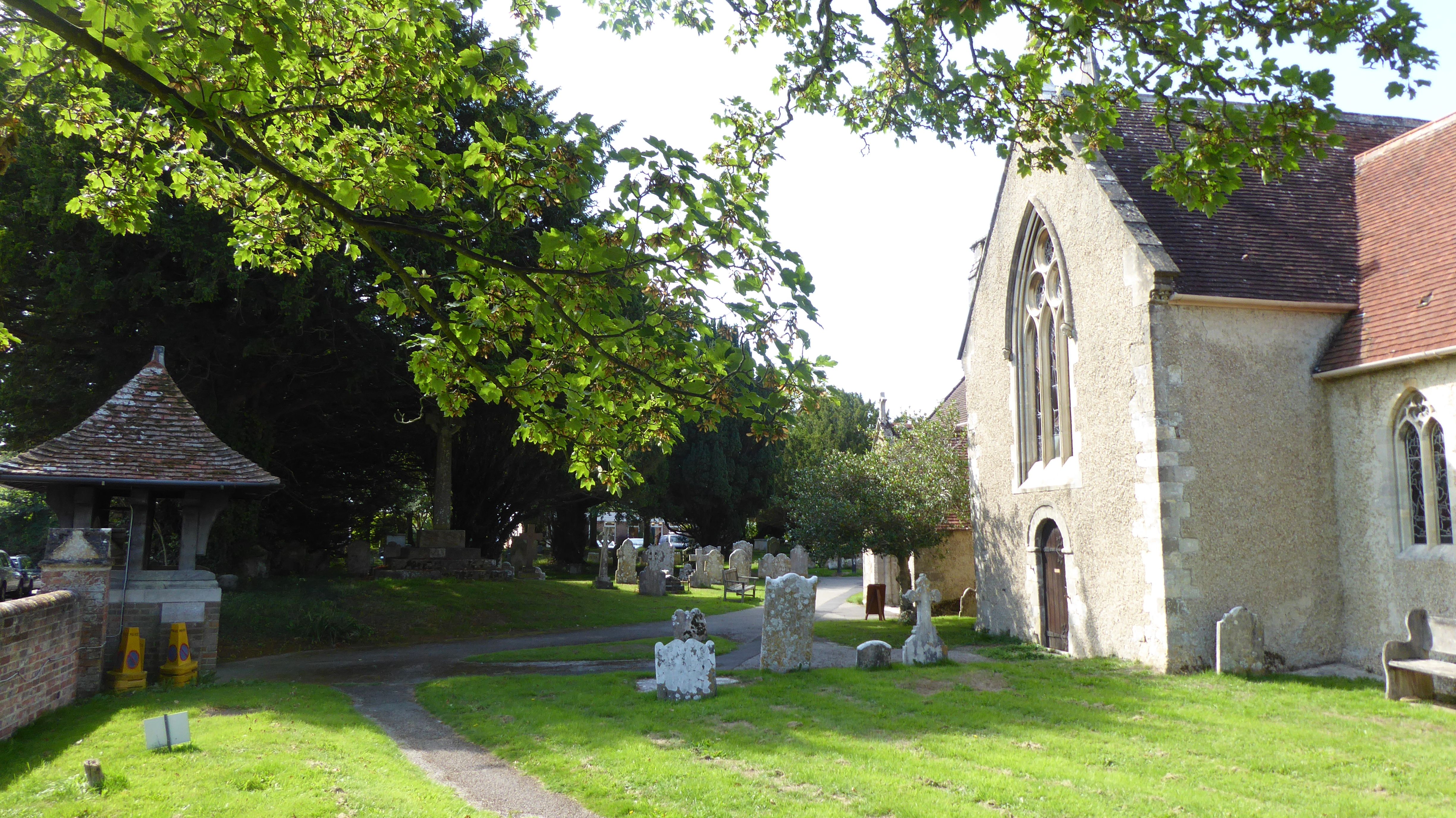
All Saints Churchyard is located at Church Hill Milford-on-Sea, New Forest District ,Hampshire , SO41 0SQEngland.
-
All Saints Churchyard cemetery's updated grave count on graveviews.com?
27 memorials
-
Where are the coordinates of the All Saints Churchyard?
Latitude: 50.7278170
Longitude: -1.5897770
Nearby Cemetories:
1. All Saints Churchyard
Hordle, New Forest District, England
Coordinate: 50.7549400, -1.6136200
2. St. Mark's Churchyard
Pennington, New Forest District, England
Coordinate: 50.7545700, -1.5631100
3. Lymington Cemetery
Lymington, New Forest District, England
Coordinate: 50.7576200, -1.5576200
4. Ashley Baptist Cemetery
New Milton, New Forest District, England
Coordinate: 50.7529200, -1.6336400
5. St. Thomas the Apostle Churchyard
Lymington, New Forest District, England
Coordinate: 50.7576410, -1.5451200
6. Milford Road Cemetery
New Milton, New Forest District, England
Coordinate: 50.7472700, -1.6502700
7. St Mary Magdalene Churchyard
New Milton, New Forest District, England
Coordinate: 50.7481200, -1.6645700
8. New Milton Cemetery
New Milton, New Forest District, England
Coordinate: 50.7507690, -1.6650340
9. St Luke Churchyard
Sway, New Forest District, England
Coordinate: 50.7839000, -1.6058800
10. Christ Church Totland Bay
Totland, Isle of Wight Unitary Authority, England
Coordinate: 50.6760770, -1.5448160
11. St Saviour Roman Catholic Churchyard
Totland, Isle of Wight Unitary Authority, England
Coordinate: 50.6762700, -1.5410390
12. St James Churchyard
Yarmouth, Isle of Wight Unitary Authority, England
Coordinate: 50.7055370, -1.4991890
13. All Saints Churchyard
Freshwater, Isle of Wight Unitary Authority, England
Coordinate: 50.6843570, -1.5102280
14. Sway Cemetery
Sway, New Forest District, England
Coordinate: 50.7930690, -1.6131930
15. St Mary Churchyard
South Baddesley, New Forest District, England
Coordinate: 50.7691430, -1.5026160
16. Hinton Park Woodland Burial Ground
Walkford, Christchurch Borough, England
Coordinate: 50.7572900, -1.6907090
17. St. John The Baptist Churchyard
Boldre, New Forest District, England
Coordinate: 50.7924070, -1.5422530
18. St Agnes Churchyard
Freshwater, Isle of Wight Unitary Authority, England
Coordinate: 50.6731050, -1.5173550
19. St. Swithin's Old Churchyard
Thorley, Isle of Wight Unitary Authority, England
Coordinate: 50.7007450, -1.4815300
20. St. Mark Churchyard
Highcliffe, Christchurch Borough, England
Coordinate: 50.7402900, -1.7100050
21. St Michael and All Angels Churchyard
Hinton, New Forest District, England
Coordinate: 50.7623700, -1.7002000
22. St Nicholas Churchyard
Brockenhurst, New Forest District, England
Coordinate: 50.8146060, -1.5681240
23. St Mary the Virgin Churchyard
Bransgore, New Forest District, England
Coordinate: 50.7766150, -1.7302940
24. St Paul Churchyard
East Boldre, New Forest District, England
Coordinate: 50.8011710, -1.4693300