
| Memorials | : | 5 |
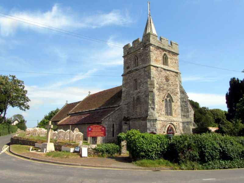
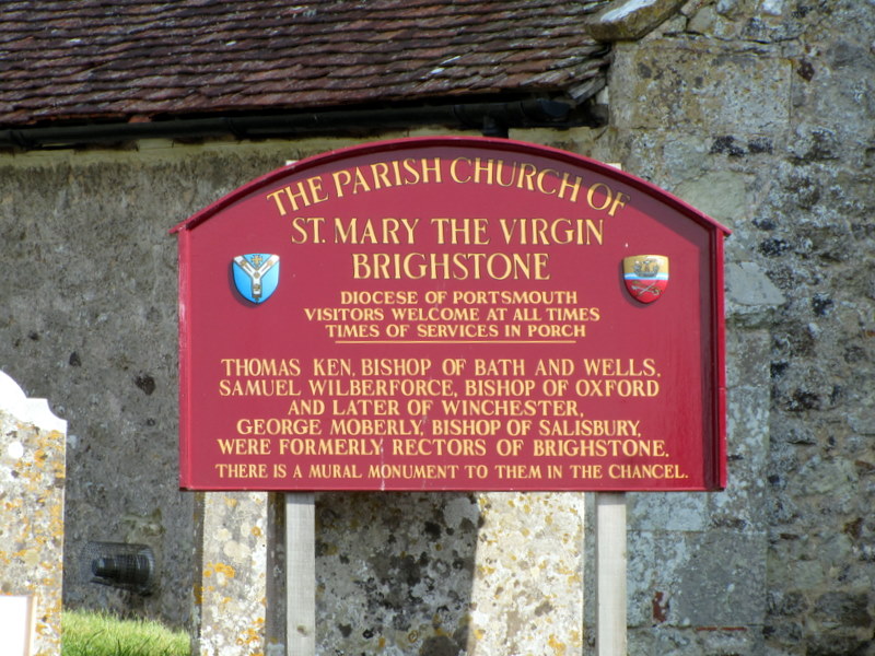
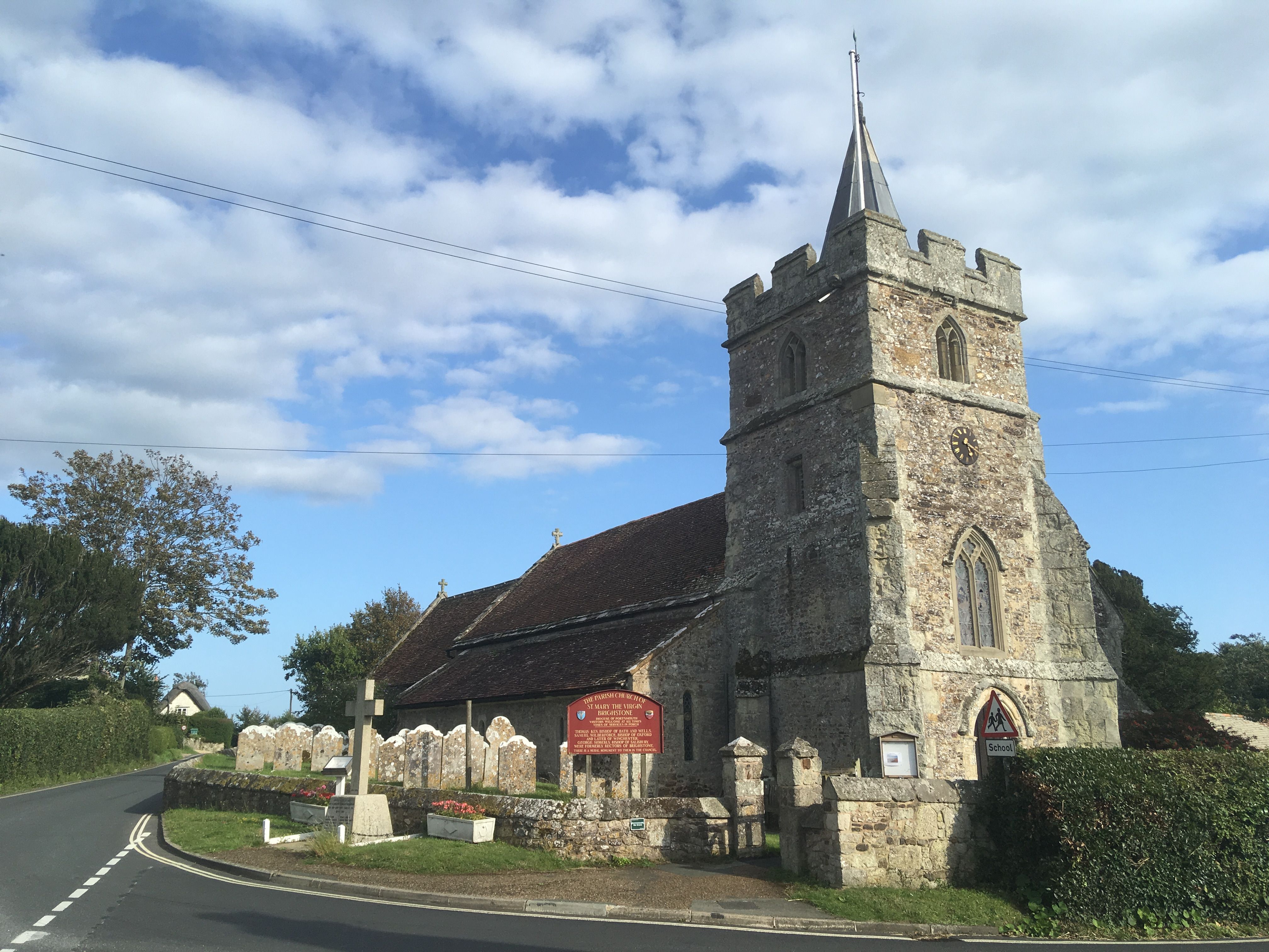
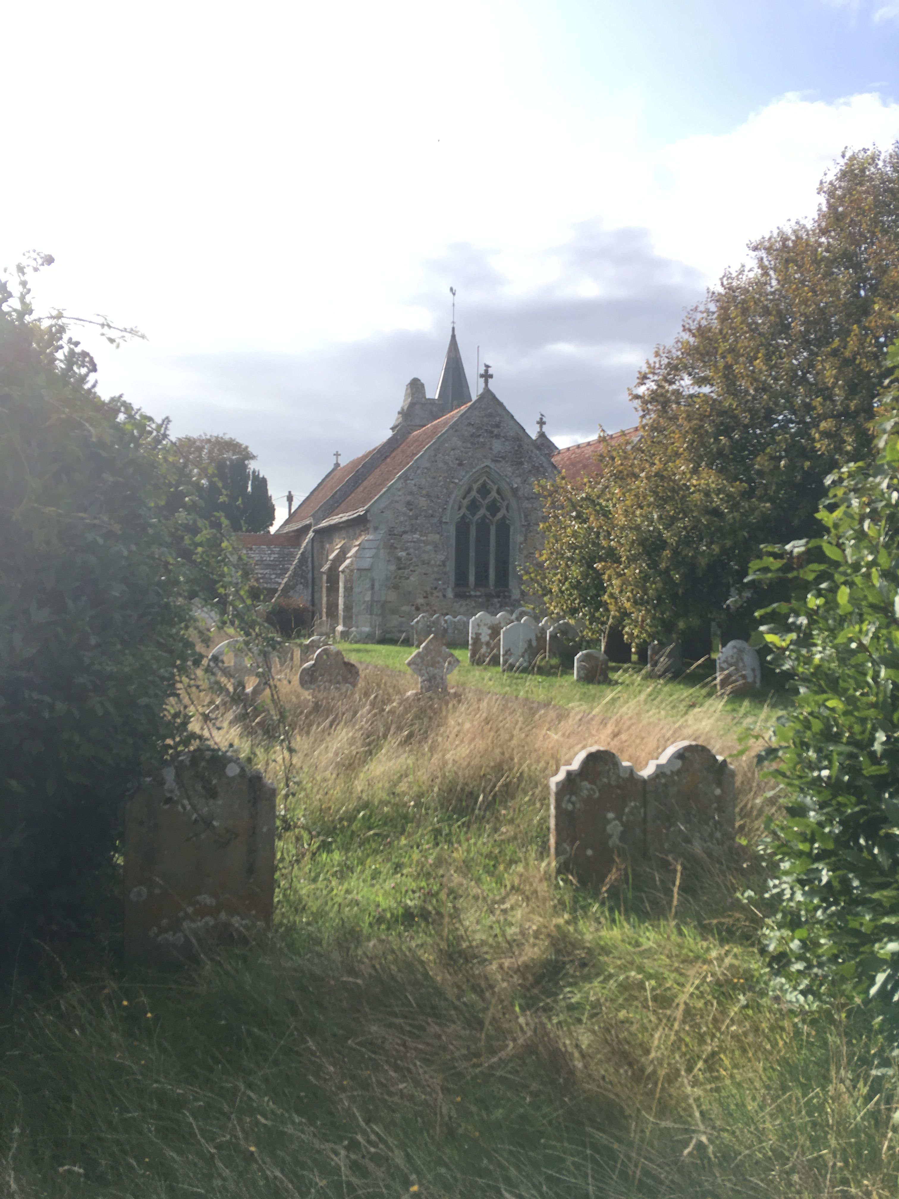
| Location | : | Brighstone, Isle of Wight Unitary Authority, England |
| Website | : | www.fivechurches.org.uk |
| Coordinate | : | 50.6422540, -1.3944850 |
frequently asked questions (FAQ):
-
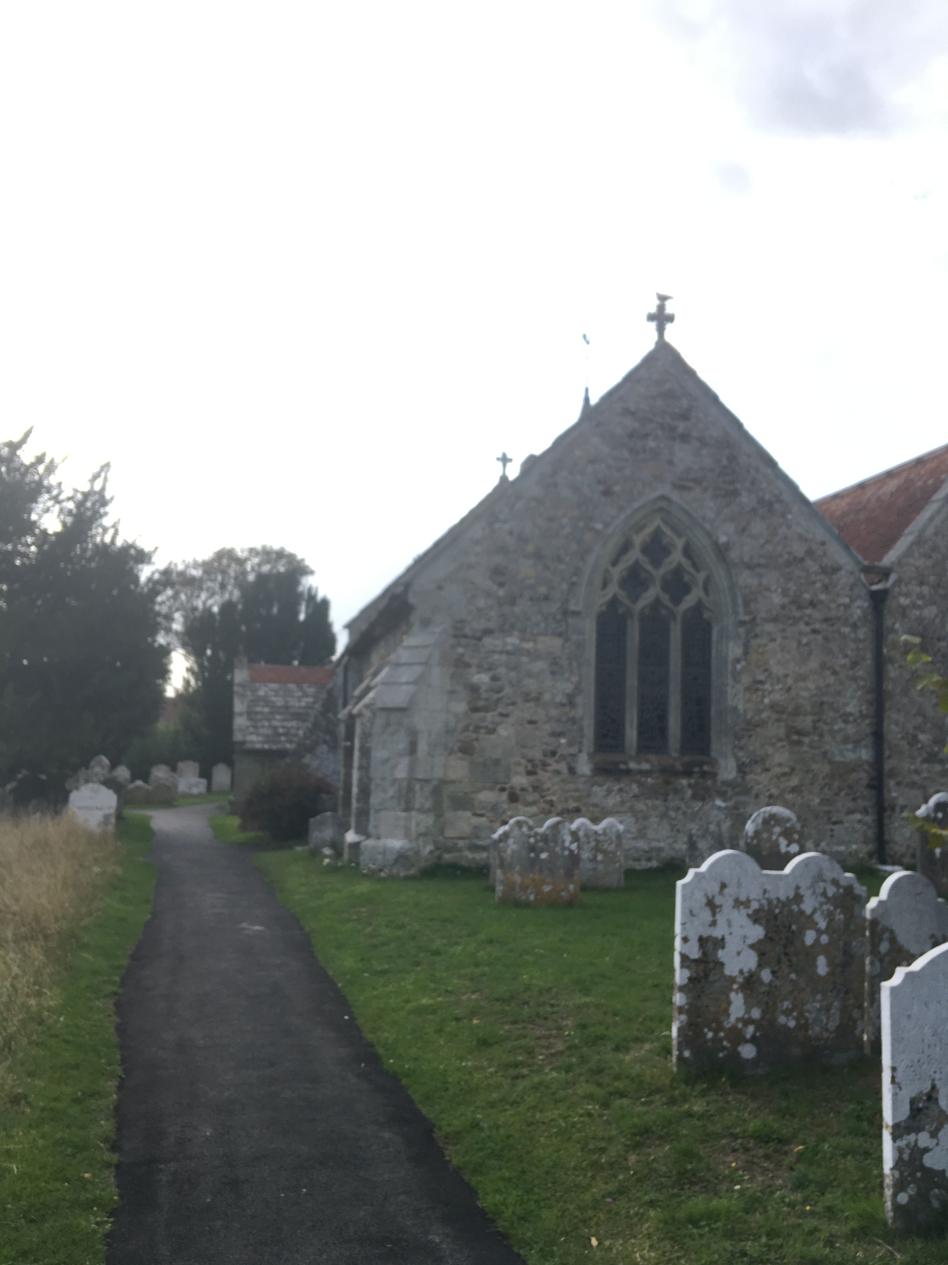
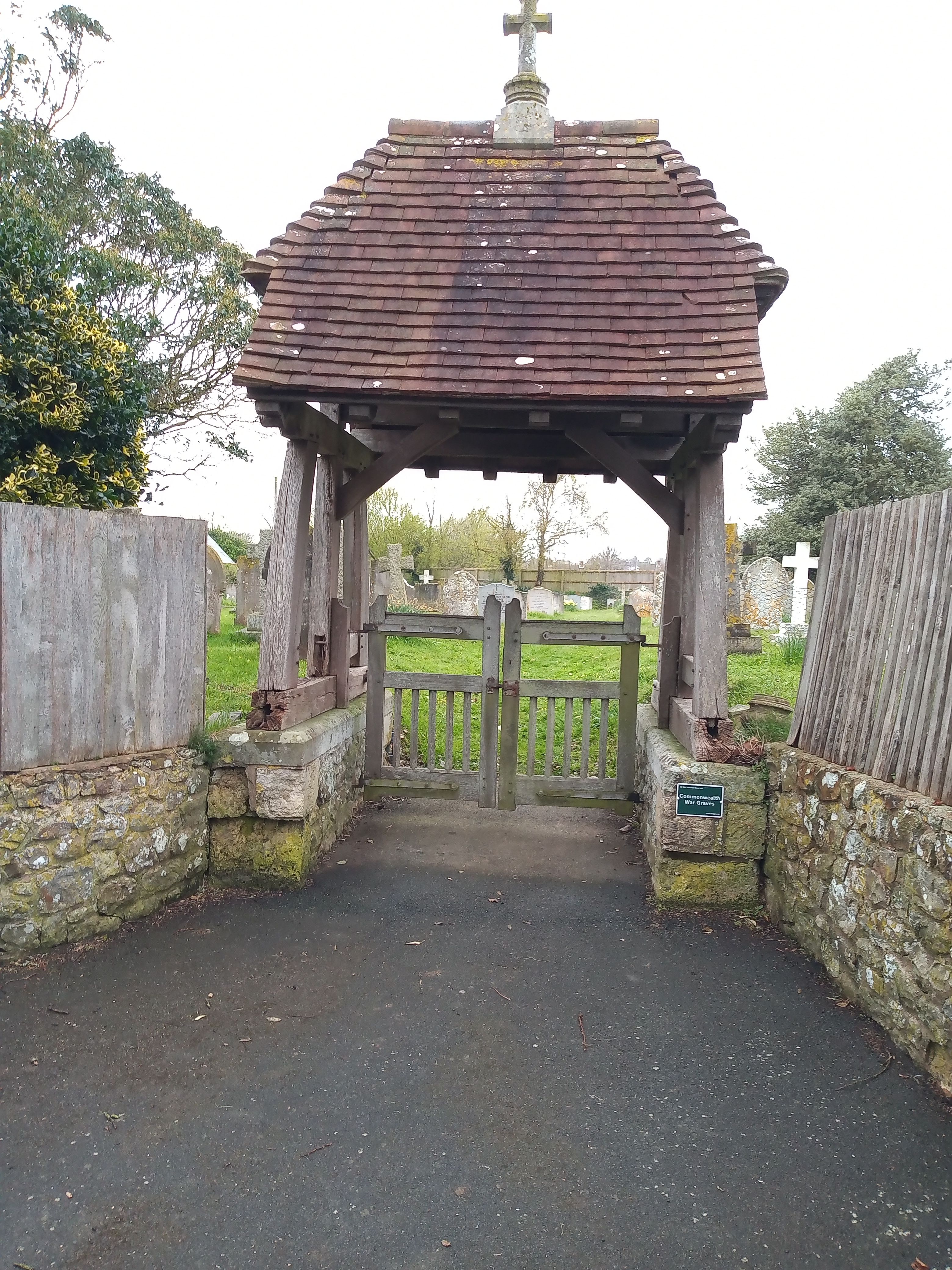
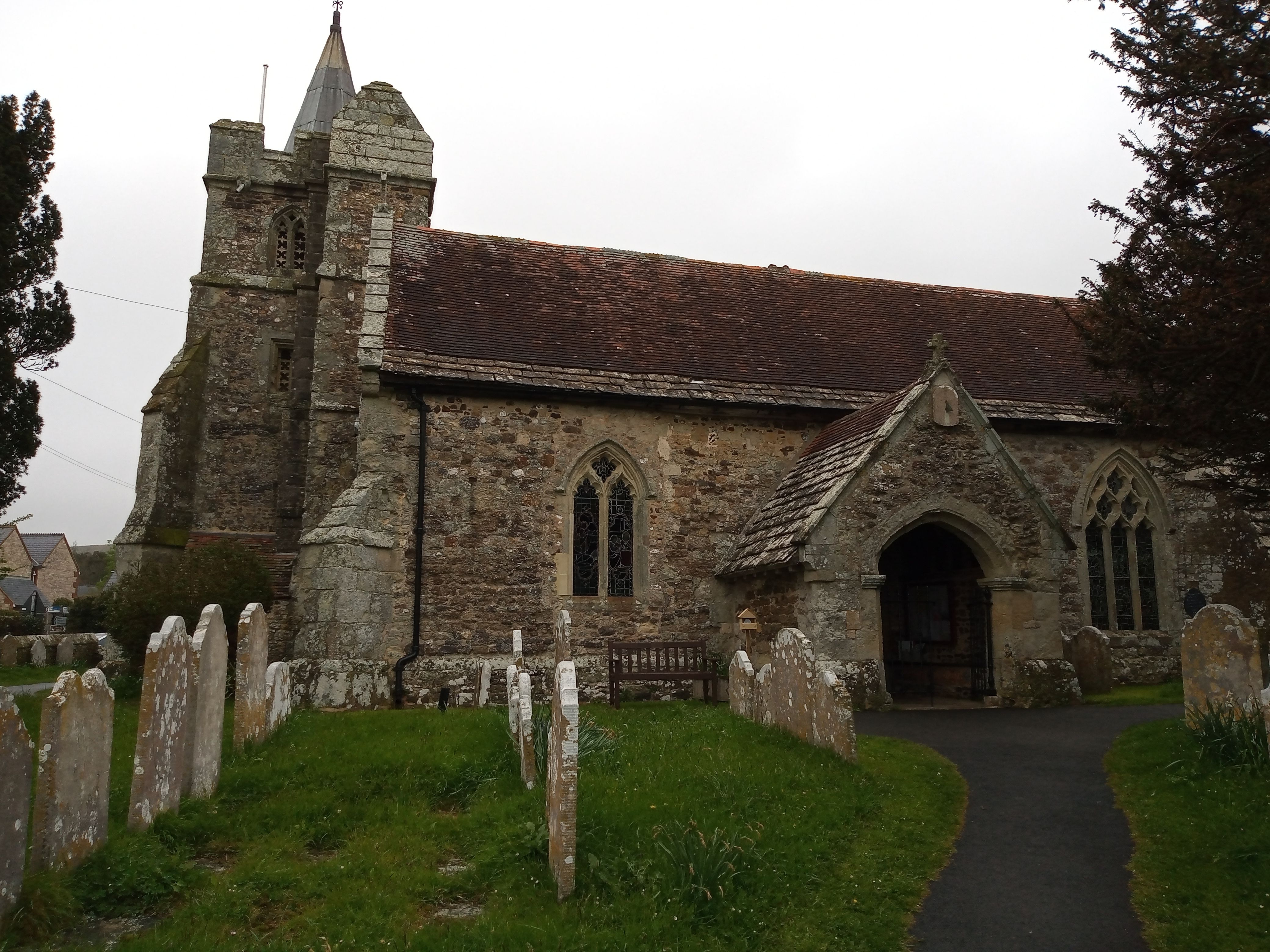
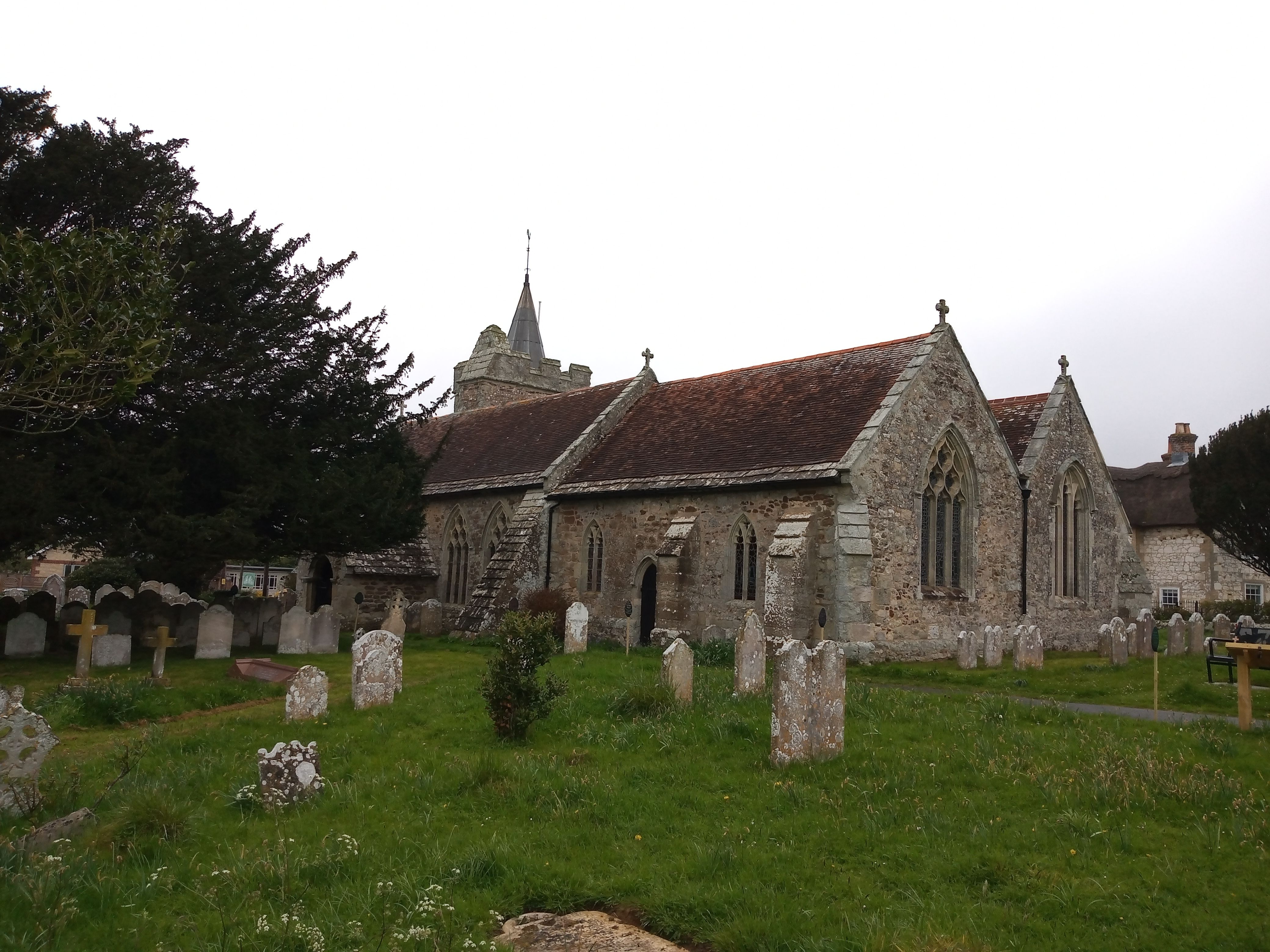
Where is St. Mary the Virgin Churchyard?
St. Mary the Virgin Churchyard is located at 2 Wilberforce Road Brighstone, Isle of Wight Unitary Authority ,Isle of Wight , PO30 4BDEngland.
-
St. Mary the Virgin Churchyard cemetery's updated grave count on graveviews.com?
5 memorials
-
Where are the coordinates of the St. Mary the Virgin Churchyard?
Latitude: 50.6422540
Longitude: -1.3944850
Nearby Cemetories:
1. St Peter and St Paul’s Churchyard
Mottistone, Isle of Wight Unitary Authority, England
Coordinate: 50.6517620, -1.4275530
2. St Peter's Parish Church
Shorwell, Isle of Wight Unitary Authority, England
Coordinate: 50.6449290, -1.3545580
3. St Peter New Churchyard
Shorwell, Isle of Wight Unitary Authority, England
Coordinate: 50.6433100, -1.3541400
4. St. Mary the Virgin Churchyard
Brook, Isle of Wight Unitary Authority, England
Coordinate: 50.6577970, -1.4430340
5. All Saints Churchyard
Calbourne, Isle of Wight Unitary Authority, England
Coordinate: 50.6772990, -1.3996370
6. Calbourne Burial Ground
Calbourne, Isle of Wight Unitary Authority, England
Coordinate: 50.6832007, -1.3864018
7. Billingham Manor
Newport, Isle of Wight Unitary Authority, England
Coordinate: 50.6347663, -1.3140535
8. St. Michael the Archangel Churchyard
Shalfleet, Isle of Wight Unitary Authority, England
Coordinate: 50.7014300, -1.4156370
9. St Olave's Churchyard
Gatcombe, Isle of Wight Unitary Authority, England
Coordinate: 50.6636110, -1.3041670
10. Carisbrooke Priory
Carisbrooke, Isle of Wight Unitary Authority, England
Coordinate: 50.6859710, -1.3070000
11. Carisbrooke Cemetery
Carisbrooke, Isle of Wight Unitary Authority, England
Coordinate: 50.6882160, -1.3083040
12. Holy Spirit Churchyard
Newtown, Isle of Wight Unitary Authority, England
Coordinate: 50.7143690, -1.4035400
13. Porchfield Congregational Cemetery
Porchfield, Isle of Wight Unitary Authority, England
Coordinate: 50.7190660, -1.3679770
14. St. Swithin's Old Churchyard
Thorley, Isle of Wight Unitary Authority, England
Coordinate: 50.7007450, -1.4815300
15. St Agnes Churchyard
Freshwater, Isle of Wight Unitary Authority, England
Coordinate: 50.6731050, -1.5173550
16. All Saints Churchyard
Freshwater, Isle of Wight Unitary Authority, England
Coordinate: 50.6843570, -1.5102280
17. St Thomas Church
Newport, Isle of Wight Unitary Authority, England
Coordinate: 50.6997610, -1.2940130
18. Parkhurst Military Cemetery
Newport, Isle of Wight Unitary Authority, England
Coordinate: 50.7084440, -1.3044120
19. All Saints Churchyard
Godshill, Isle of Wight Unitary Authority, England
Coordinate: 50.6336900, -1.2558300
20. Niton Baptist Church
Ventnor, Isle of Wight Unitary Authority, England
Coordinate: 50.5850100, -1.2864900
21. Parkhurst Prison Cemetery
Newport, Isle of Wight Unitary Authority, England
Coordinate: 50.7152100, -1.3082790
22. Newport Cemetery
Newport, Isle of Wight Unitary Authority, England
Coordinate: 50.7041360, -1.2887540
23. St James Churchyard
Yarmouth, Isle of Wight Unitary Authority, England
Coordinate: 50.7055370, -1.4991890
24. Isle of Wight Workhouse Burial Ground
Carisbrooke, Isle of Wight Unitary Authority, England
Coordinate: 50.7112150, -1.2979810