
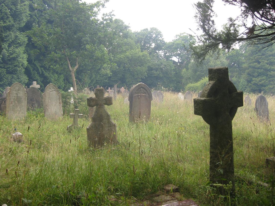
| Memorials | : | 1518 |
| Location | : | Brockenhurst, New Forest District, England |
| Coordinate | : | 50.8146060, -1.5681240 |
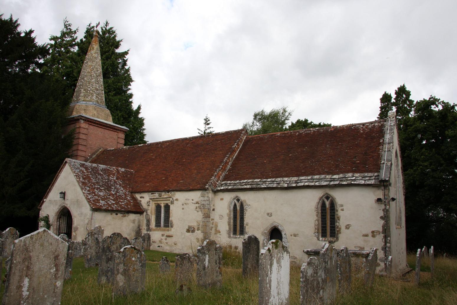
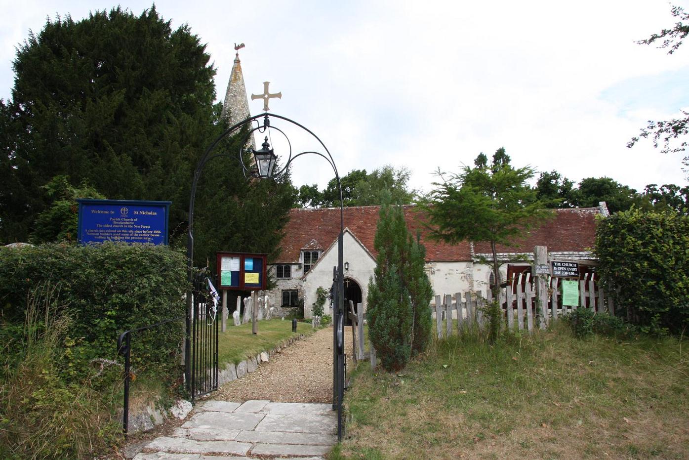
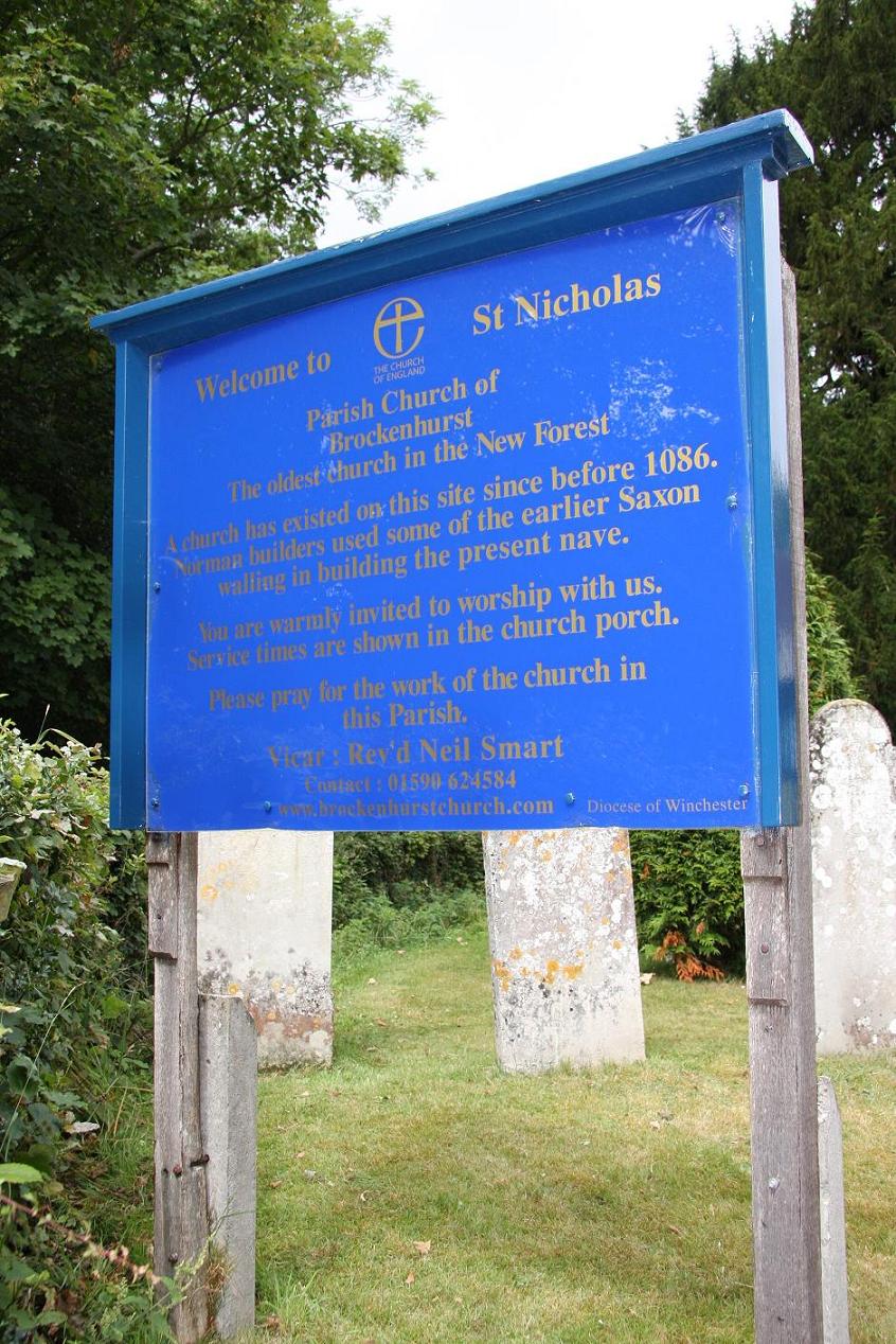
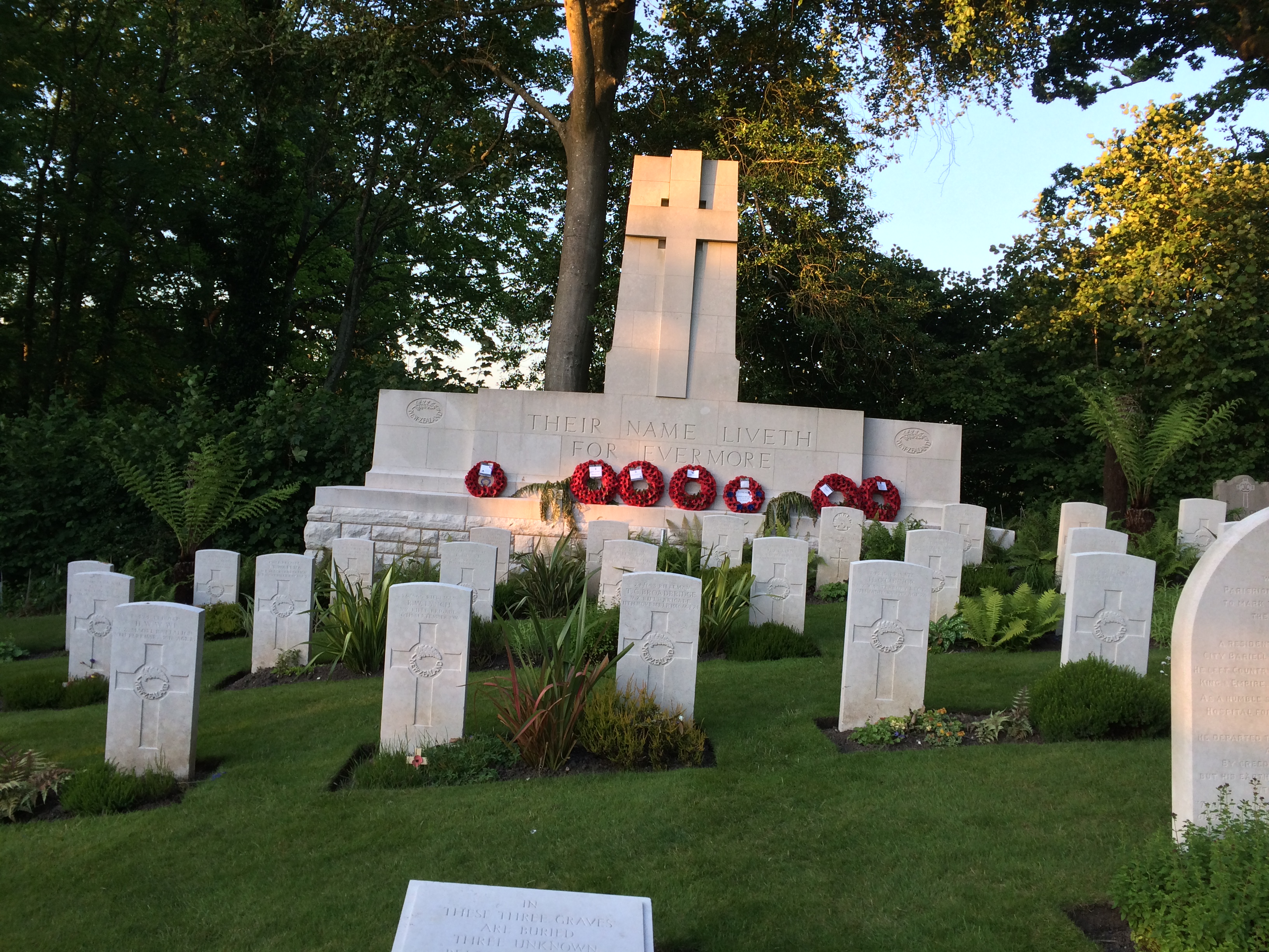
| Description | : | The Parish Church, St. Nicholas. Christians have worshipped on the site since AD737. The Domesday Book records the church as being in "Broceste", as the Normans called Brockenhurst, and it is regarded as the oldest church in the Forest. It stands on top of a hill overlooking the Village, the railway station and the level crossing on the A337 Lymington Road. The Church was enlarged by the Victorians but in the south wall of the old Nave there is some Saxon herring-bone masonry. The South doorway is a fine example of Norman work with chevron mouldings. The Arms of Queen... Read More |
frequently asked questions (FAQ):
-
Where is St Nicholas Churchyard?
St Nicholas Churchyard is located at Church Lane Brockenhurst, New Forest District ,Hampshire , SO42 7UBEngland.
-
St Nicholas Churchyard cemetery's updated grave count on graveviews.com?
1518 memorials
-
Where are the coordinates of the St Nicholas Churchyard?
Latitude: 50.8146060
Longitude: -1.5681240
Nearby Cemetories:
1. St. John The Baptist Churchyard
Boldre, New Forest District, England
Coordinate: 50.7924070, -1.5422530
2. Sway Cemetery
Sway, New Forest District, England
Coordinate: 50.7930690, -1.6131930
3. St Luke Churchyard
Sway, New Forest District, England
Coordinate: 50.7839000, -1.6058800
4. Lymington Cemetery
Lymington, New Forest District, England
Coordinate: 50.7576200, -1.5576200
5. Lyndhurst Cemetery
Lyndhurst, New Forest District, England
Coordinate: 50.8723000, -1.5644600
6. St Michael and All Angels Churchyard
Lyndhurst, New Forest District, England
Coordinate: 50.8722520, -1.5778710
7. East Boldre Old Chapelyard
East Boldre, New Forest District, England
Coordinate: 50.8100600, -1.4756000
8. St. Thomas the Apostle Churchyard
Lymington, New Forest District, England
Coordinate: 50.7576410, -1.5451200
9. St. Mark's Churchyard
Pennington, New Forest District, England
Coordinate: 50.7545700, -1.5631100
10. St Mary Churchyard
South Baddesley, New Forest District, England
Coordinate: 50.7691430, -1.5026160
11. Christ Church Churchyard
Emery Down, New Forest District, England
Coordinate: 50.8742900, -1.5935600
12. East Boldre Baptist Chapelyard
East Boldre, New Forest District, England
Coordinate: 50.8044770, -1.4707650
13. St Paul Churchyard
East Boldre, New Forest District, England
Coordinate: 50.8011710, -1.4693300
14. All Saints Churchyard
Hordle, New Forest District, England
Coordinate: 50.7549400, -1.6136200
15. Beaulieu Cemetery
Beaulieu, New Forest District, England
Coordinate: 50.8046600, -1.4594000
16. Ashley Baptist Cemetery
New Milton, New Forest District, England
Coordinate: 50.7529200, -1.6336400
17. Blessed Virgin and Holy Child Churchyard
Beaulieu, New Forest District, England
Coordinate: 50.8216320, -1.4501550
18. Burley Chapel Cemetery
Burley, New Forest District, England
Coordinate: 50.8313000, -1.6930000
19. St John the Baptist Churchyard
Burley, New Forest District, England
Coordinate: 50.8274700, -1.6971500
20. All Saints Churchyard
Minstead, New Forest District, England
Coordinate: 50.8967200, -1.6017160
21. Milford Road Cemetery
New Milton, New Forest District, England
Coordinate: 50.7472700, -1.6502700
22. All Saints Churchyard
Milford-on-Sea, New Forest District, England
Coordinate: 50.7278170, -1.5897770
23. New Milton Cemetery
New Milton, New Forest District, England
Coordinate: 50.7507690, -1.6650340
24. St Mary Magdalene Churchyard
New Milton, New Forest District, England
Coordinate: 50.7481200, -1.6645700