
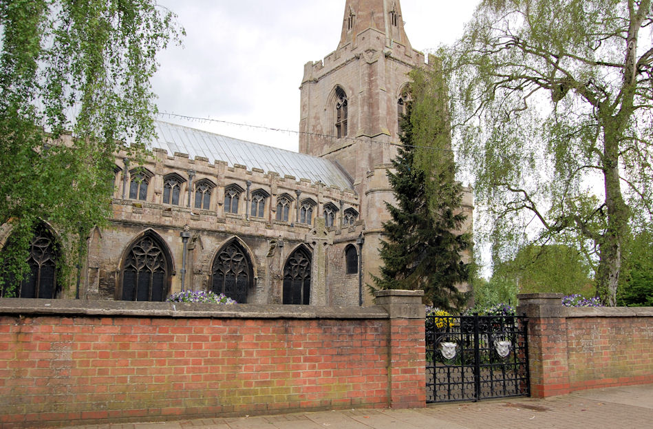
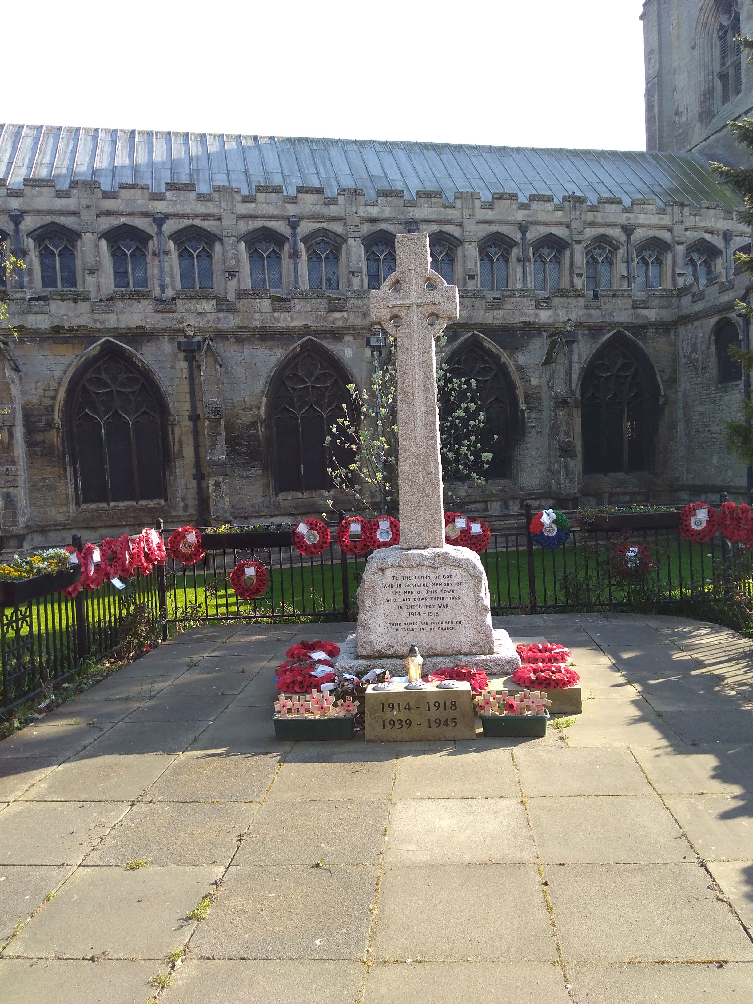
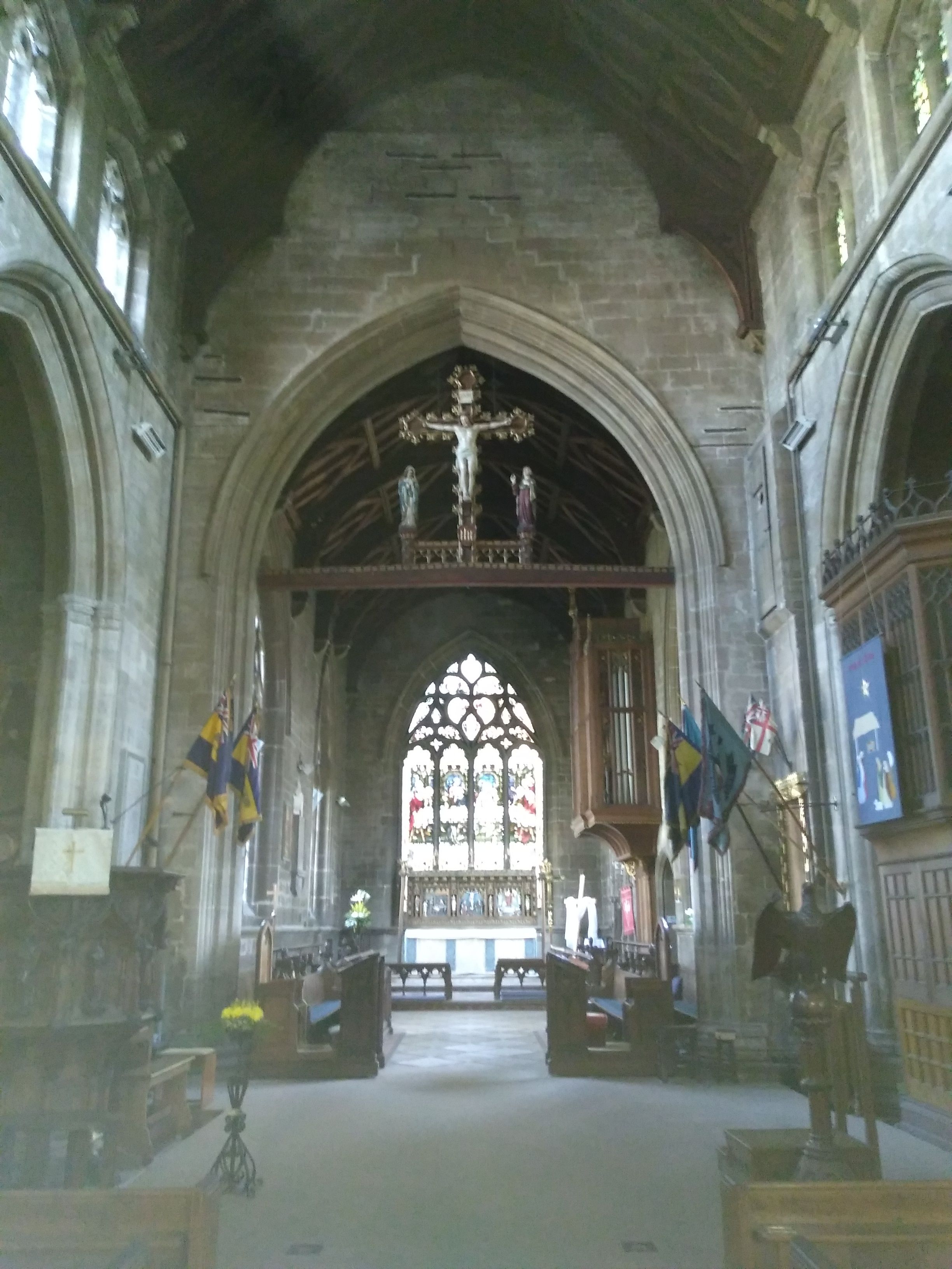
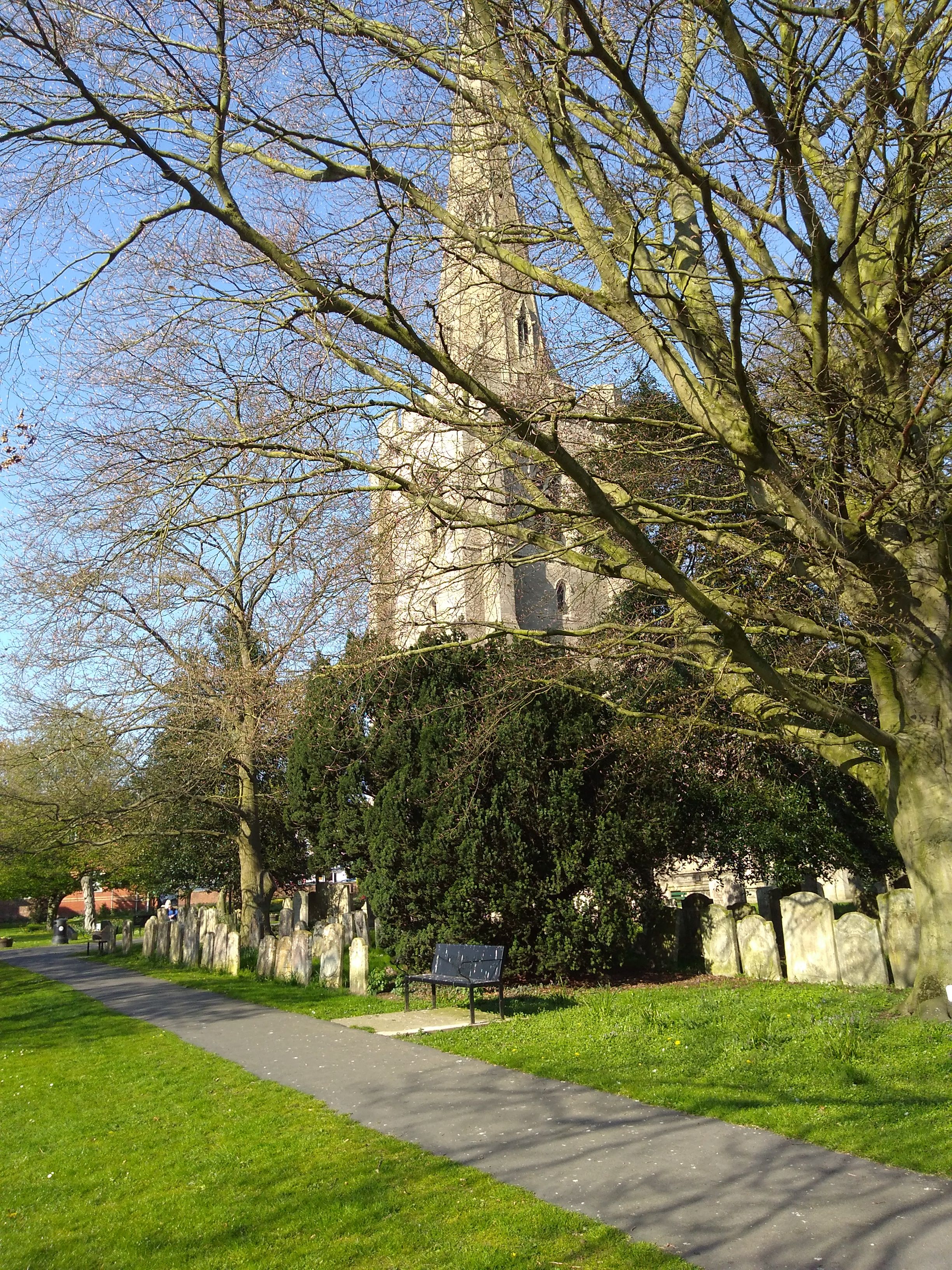
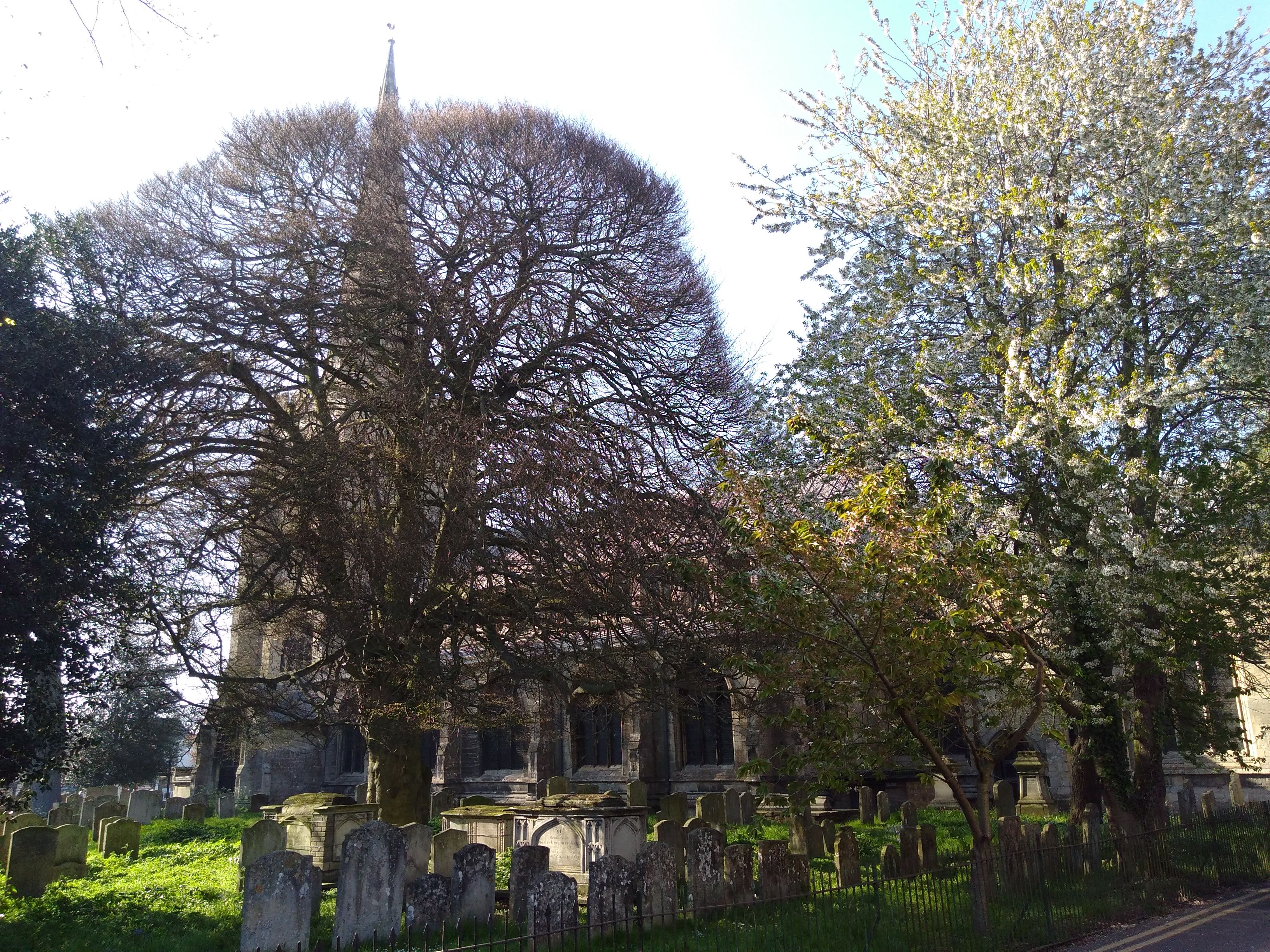
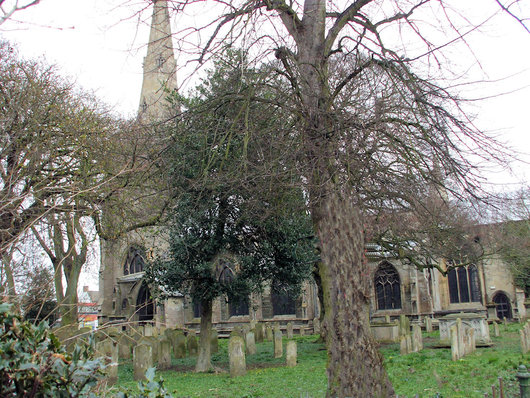
| Memorials | : | 138 |
| Location | : | Holbeach, South Holland District, England |
| Coordinate | : | 52.8036140, 0.0142530 |
frequently asked questions (FAQ):
-
Where is All Saints Churchyard?
All Saints Churchyard is located at Holbeach, South Holland District ,Lincolnshire ,England.
-
All Saints Churchyard cemetery's updated grave count on graveviews.com?
138 memorials
-
Where are the coordinates of the All Saints Churchyard?
Latitude: 52.8036140
Longitude: 0.0142530

Nearby Cemetories:
1. Holbeach Cemetery
Holbeach, South Holland District, England
Coordinate: 52.8062100, 0.0171500
2. Whaplode Cemetery
Whaplode, South Holland District, England
Coordinate: 52.8016190, -0.0281347
3. St. Mary Magdalene Churchyard
Fleet, South Holland District, England
Coordinate: 52.7928490, 0.0582900
4. St. Mary's Churchyard
Whaplode, South Holland District, England
Coordinate: 52.7974840, -0.0385520
5. St. Luke's Churchyard
Holbeach Hurn, South Holland District, England
Coordinate: 52.8231700, 0.0653600
6. St Mary Magdalene Churchyard
Gedney, South Holland District, England
Coordinate: 52.7984900, 0.0791600
7. Moulton Cemetery
Moulton, South Holland District, England
Coordinate: 52.8017000, -0.0632400
8. All Saints Churchyard
Moulton, South Holland District, England
Coordinate: 52.7990056, -0.0629691
9. St. Mary's Cemetery
Weston, South Holland District, England
Coordinate: 52.8078662, -0.0809039
10. St. John's Churchyard
Holbeach, South Holland District, England
Coordinate: 52.7457510, -0.0024000
11. St Nicholas Churchyard
Lutton, South Holland District, England
Coordinate: 52.8085300, 0.1246500
12. Long Sutton Baptist Churchyard
Long Sutton, South Holland District, England
Coordinate: 52.7837460, 0.1204960
13. St. Mary's Churchyard
Long Sutton, South Holland District, England
Coordinate: 52.7844700, 0.1221800
14. Long Sutton Cemetery
Long Sutton, South Holland District, England
Coordinate: 52.7848300, 0.1272300
15. Fosdyke Village Cemetery
Fosdyke, Boston Borough, England
Coordinate: 52.8808330, -0.0447220
16. All Saints Churchyard
Fosdyke, Boston Borough, England
Coordinate: 52.8811100, -0.0469440
17. St Paul's Churchyard
Spalding, South Holland District, England
Coordinate: 52.7969559, -0.1305557
18. Christs Church Churchyard
Dawsmere, South Holland District, England
Coordinate: 52.8493100, 0.1398000
19. Gedney Drove End Churchyard
Gedney, South Holland District, England
Coordinate: 52.8493470, 0.1405420
20. Gedney Dawsmere Cemetery
Gedney, South Holland District, England
Coordinate: 52.8487200, 0.1428700
21. St. Mary Churchyard
Tydd St Mary, South Holland District, England
Coordinate: 52.7456600, 0.1404600
22. St. Giles' Churchyard
Tydd St Giles, Fenland District, England
Coordinate: 52.7269470, 0.1118120
23. Surfleet Cemetery
Surfleet, South Holland District, England
Coordinate: 52.8391670, -0.1383330
24. Spalding Cemetery
Spalding, South Holland District, England
Coordinate: 52.7954960, -0.1519390