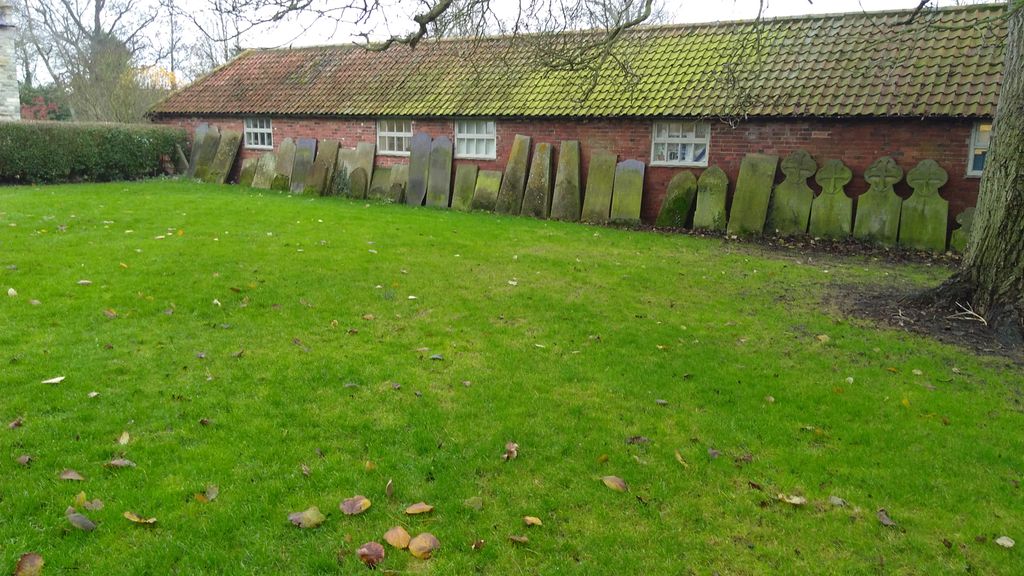
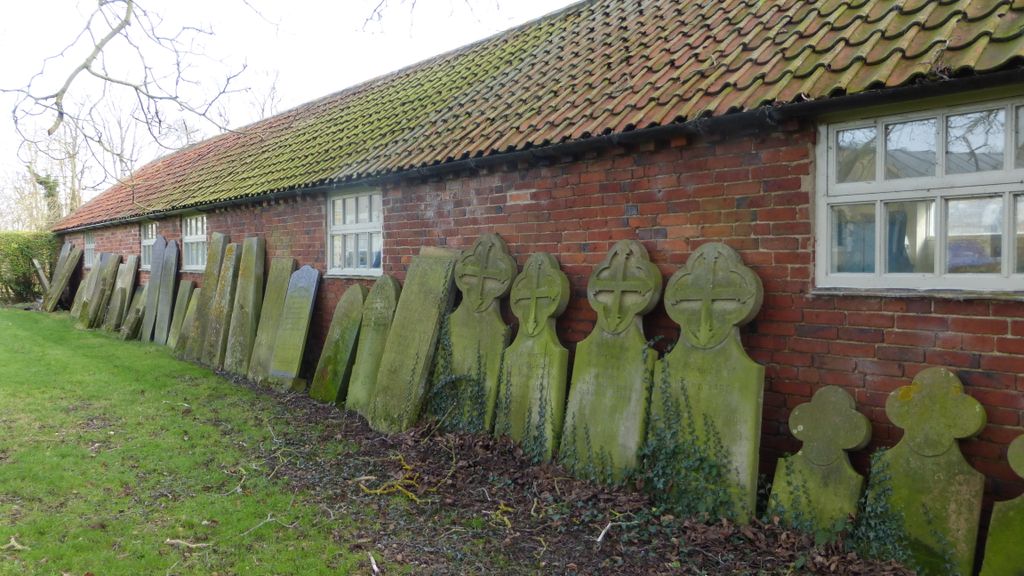
| Memorials | : | 121 |
| Location | : | Fenton, South Kesteven District, England |
| Coordinate | : | 53.0462300, -0.6910100 |
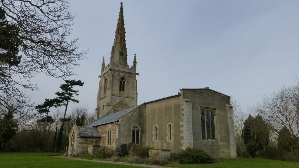
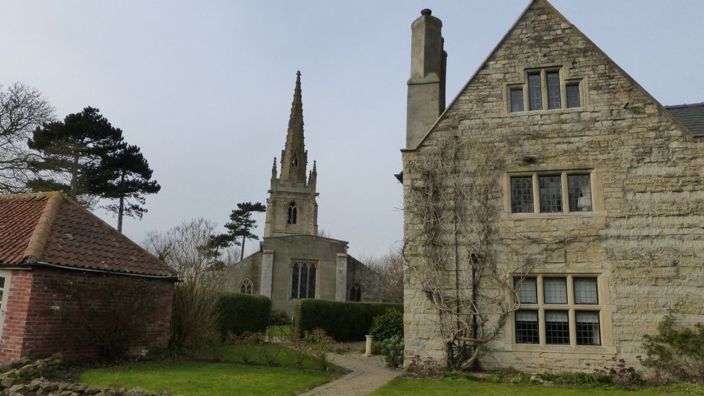
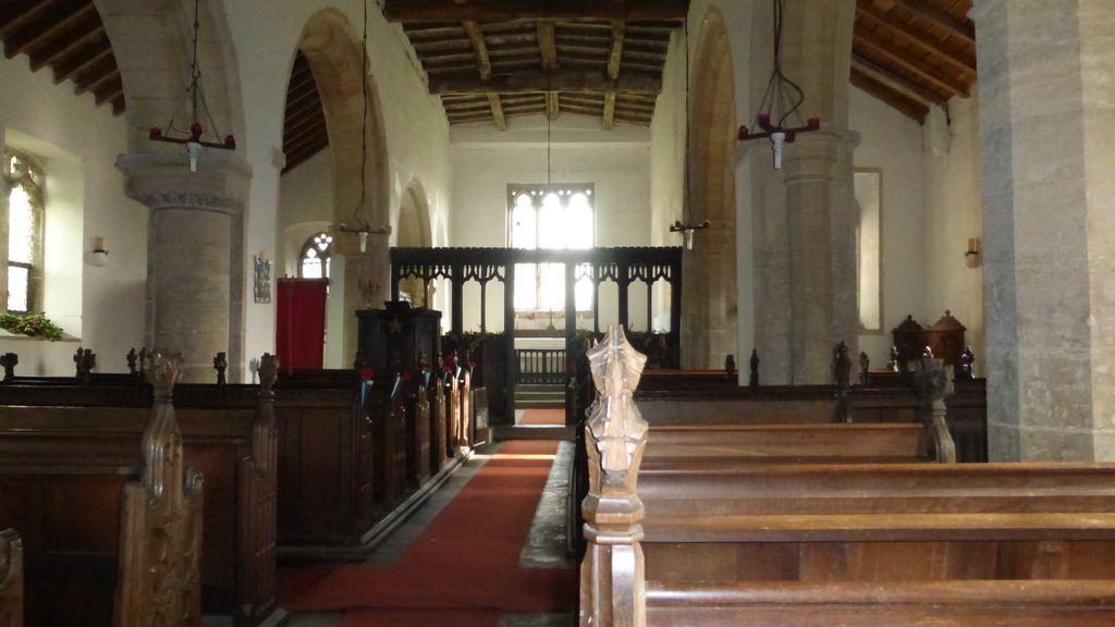
| Description | : | The church, dedicated to All Saints, lies on the western edge of the village behind Fenton Hall, former seat of the Lucas family. Access is through the front garden of the Hall. Parts of the church date from the 13th and 14th centuries and the north doorway may date from c1200, although it is blocked with red brick of a much later date. The church has been added to over the centuries in the 15th 16th and 19th. By 1970 services had not been held for a number of years but recent renovations have improved the church which... Read More |
frequently asked questions (FAQ):
-
Where is All Saints Churchyard?
All Saints Churchyard is located at Fenton, South Kesteven District ,Lincolnshire ,England.
-
All Saints Churchyard cemetery's updated grave count on graveviews.com?
121 memorials
-
Where are the coordinates of the All Saints Churchyard?
Latitude: 53.0462300
Longitude: -0.6910100
Nearby Cemetories:
1. All Saints Churchyard
Beckingham, North Kesteven District, England
Coordinate: 53.0740990, -0.6945420
2. St Michael Churchyard
Stragglethorpe, North Kesteven District, England
Coordinate: 53.0609600, -0.6382370
3. St Helen's Churchyard
Brant Broughton, North Kesteven District, England
Coordinate: 53.0744850, -0.6351690
4. St Giles Churchyard
Balderton, Newark and Sherwood District, England
Coordinate: 53.0553010, -0.7780750
5. All Saints Churchyard
Hough-on-the-Hill, South Kesteven District, England
Coordinate: 53.0069700, -0.6255100
6. Balderton Methodist Church
Newark-on-Trent, Newark and Sherwood District, England
Coordinate: 53.0551620, -0.7823410
7. St. Vincent Churchyard
Caythorpe, South Kesteven District, England
Coordinate: 53.0261420, -0.6015930
8. Balderton Cemetery
Balderton, Newark and Sherwood District, England
Coordinate: 53.0539100, -0.7877400
9. All Saints Churchyard
Hougham, South Kesteven District, England
Coordinate: 52.9878240, -0.6806910
10. All Saints Churchyard
Stapleford, North Kesteven District, England
Coordinate: 53.1082000, -0.6776500
11. St. Nicholas Churchyard
Fulbeck, South Kesteven District, England
Coordinate: 53.0426840, -0.5871030
12. All Saints Churchyard
Westborough, South Kesteven District, England
Coordinate: 52.9892900, -0.7350100
13. St Swithun Churchyard
Leadenham, North Kesteven District, England
Coordinate: 53.0545070, -0.5835610
14. St Swithun Churchyard
Long Bennington, South Kesteven District, England
Coordinate: 52.9856290, -0.7449190
15. Newark-on-Trent Cemetery
Newark-on-Trent, Newark and Sherwood District, England
Coordinate: 53.0692040, -0.7988660
16. St Mary's Churchyard
Carlton-le-Moorland, North Kesteven District, England
Coordinate: 53.1107500, -0.6449000
17. St Peter Churchyard
Foston, South Kesteven District, England
Coordinate: 52.9771630, -0.7227360
18. St Michael's Church
Norton Disney, North Kesteven District, England
Coordinate: 53.1204000, -0.6795000
19. St Nicholas Churchyard
Normanton, South Kesteven District, England
Coordinate: 53.0051390, -0.5874570
20. St. Peter's Churchyard
Norton Disney, North Kesteven District, England
Coordinate: 53.1203000, -0.6717000
21. St Peter's Churchyard
Norton Disney, North Kesteven District, England
Coordinate: 53.1203200, -0.6716900
22. St. Mary Magdalene Church
Newark-on-Trent, Newark and Sherwood District, England
Coordinate: 53.0766983, -0.8085000
23. All Saints Churchyard
Winthorpe, Newark and Sherwood District, England
Coordinate: 53.0983646, -0.7884366
24. St. Nicholas Churchyard
Carlton Scroop, South Kesteven District, England
Coordinate: 52.9940290, -0.5895960

