
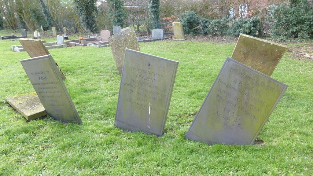
| Memorials | : | 55 |
| Location | : | Beckingham, North Kesteven District, England |
| Coordinate | : | 53.0740990, -0.6945420 |
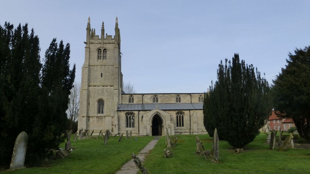
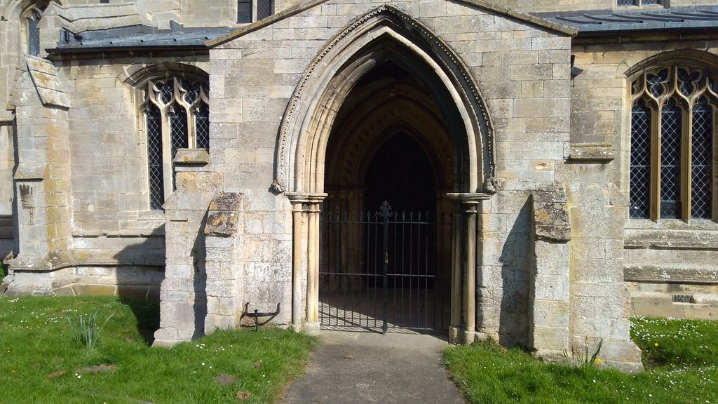
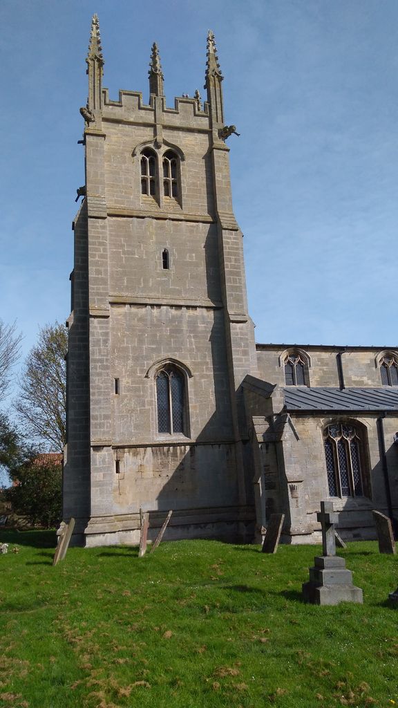
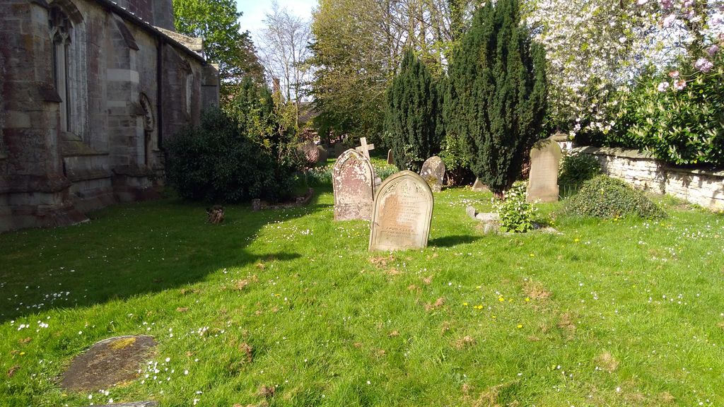
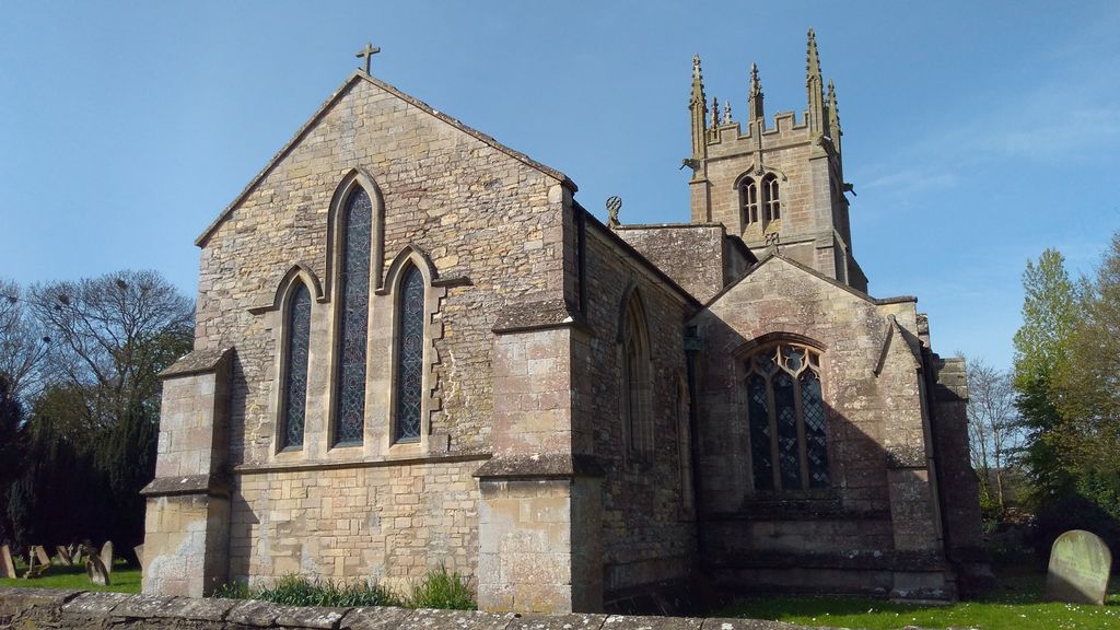
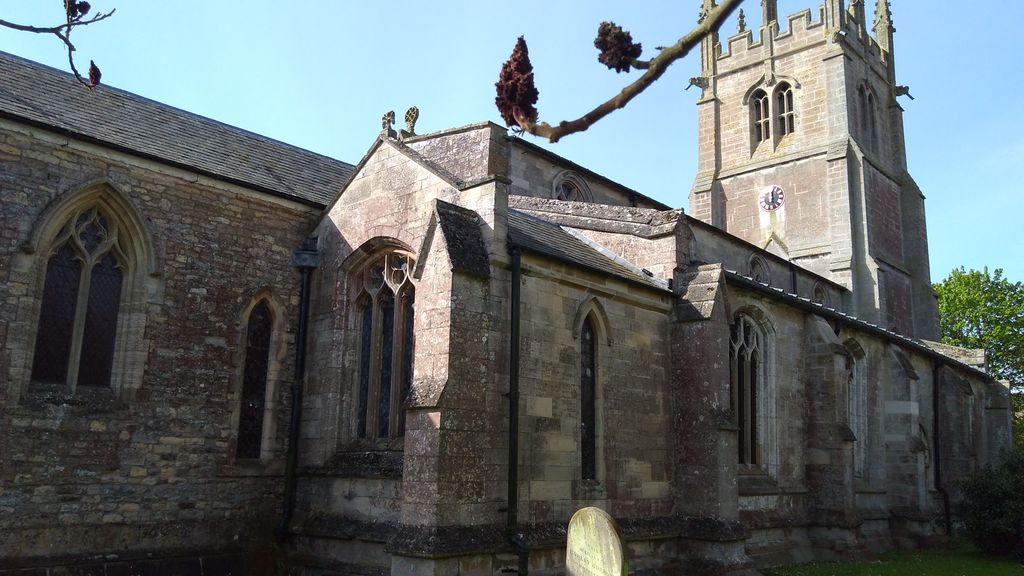
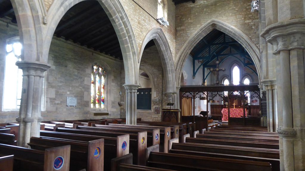
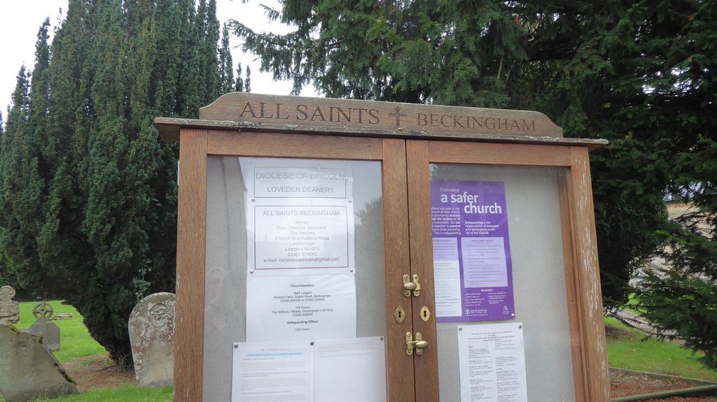
| Description | : | Beckingham is situated about 6 miles East of Newark (Notts) in the county of Lincolnshire, just off the A17 between Newark and Sleaford and near the Nottinghamshire border. Nottinghamshire also has a village called Beckingham and the church there is also All Saints! The village dates back to Roman times, although not mentioned in the Doomsday book, the settlement of Holme is mentioned, (now Holme Spinney) the boundaries of which included Beckingham, Fenton and Stragglethorpe. All Saints Beckingham, a Grade 1 listed building, is a medieval church, parts of which can be dated back to Saxon or early Norman times.... Read More |
frequently asked questions (FAQ):
-
Where is All Saints Churchyard?
All Saints Churchyard is located at Sleaford Road Beckingham, North Kesteven District ,Lincolnshire , LN5 0RHEngland.
-
All Saints Churchyard cemetery's updated grave count on graveviews.com?
54 memorials
-
Where are the coordinates of the All Saints Churchyard?
Latitude: 53.0740990
Longitude: -0.6945420
Nearby Cemetories:
1. All Saints Churchyard
Fenton, South Kesteven District, England
Coordinate: 53.0462300, -0.6910100
2. All Saints Churchyard
Stapleford, North Kesteven District, England
Coordinate: 53.1082000, -0.6776500
3. St Helen's Churchyard
Brant Broughton, North Kesteven District, England
Coordinate: 53.0744850, -0.6351690
4. St Michael Churchyard
Stragglethorpe, North Kesteven District, England
Coordinate: 53.0609600, -0.6382370
5. St Michael's Church
Norton Disney, North Kesteven District, England
Coordinate: 53.1204000, -0.6795000
6. St Mary's Churchyard
Carlton-le-Moorland, North Kesteven District, England
Coordinate: 53.1107500, -0.6449000
7. St. Peter's Churchyard
Norton Disney, North Kesteven District, England
Coordinate: 53.1203000, -0.6717000
8. St Peter's Churchyard
Norton Disney, North Kesteven District, England
Coordinate: 53.1203200, -0.6716900
9. St Giles Churchyard
Balderton, Newark and Sherwood District, England
Coordinate: 53.0553010, -0.7780750
10. Balderton Methodist Church
Newark-on-Trent, Newark and Sherwood District, England
Coordinate: 53.0551620, -0.7823410
11. Balderton Cemetery
Balderton, Newark and Sherwood District, England
Coordinate: 53.0539100, -0.7877400
12. St. Michael's Churchyard
Bassingham, North Kesteven District, England
Coordinate: 53.1265350, -0.6431400
13. Newark Road Cemetery
Bassingham, North Kesteven District, England
Coordinate: 53.1265300, -0.6429400
14. All Saints Churchyard
Winthorpe, Newark and Sherwood District, England
Coordinate: 53.0983646, -0.7884366
15. Newark-on-Trent Cemetery
Newark-on-Trent, Newark and Sherwood District, England
Coordinate: 53.0692040, -0.7988660
16. St Bartholomew Churchyard
Langford, Newark and Sherwood District, England
Coordinate: 53.1225760, -0.7743940
17. St. Mary Magdalene Church
Newark-on-Trent, Newark and Sherwood District, England
Coordinate: 53.0766983, -0.8085000
18. St Swithun Churchyard
Leadenham, North Kesteven District, England
Coordinate: 53.0545070, -0.5835610
19. St. Nicholas Churchyard
Fulbeck, South Kesteven District, England
Coordinate: 53.0426840, -0.5871030
20. St. Vincent Churchyard
Caythorpe, South Kesteven District, England
Coordinate: 53.0261420, -0.6015930
21. St Germain Churchyard
Thurlby, South Kesteven District, England
Coordinate: 53.1447870, -0.6425330
22. All Saints Churchyard
Hough-on-the-Hill, South Kesteven District, England
Coordinate: 53.0069700, -0.6255100
23. St Wilfred Churchyard
South Muskham, Newark and Sherwood District, England
Coordinate: 53.1071300, -0.8156400
24. St. John the Baptist Churchyard
Collingham, Newark and Sherwood District, England
Coordinate: 53.1425550, -0.7656640