| Memorials | : | 0 |
| Location | : | Chedgrave, South Norfolk District, England |
| Coordinate | : | 52.5409130, 1.4831200 |
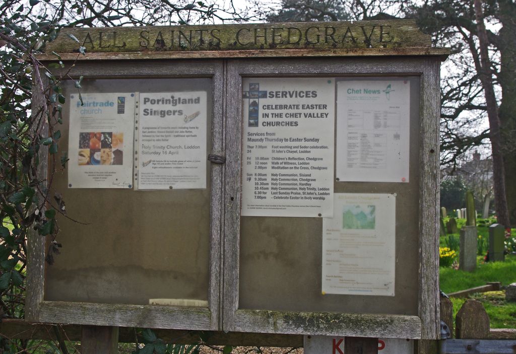
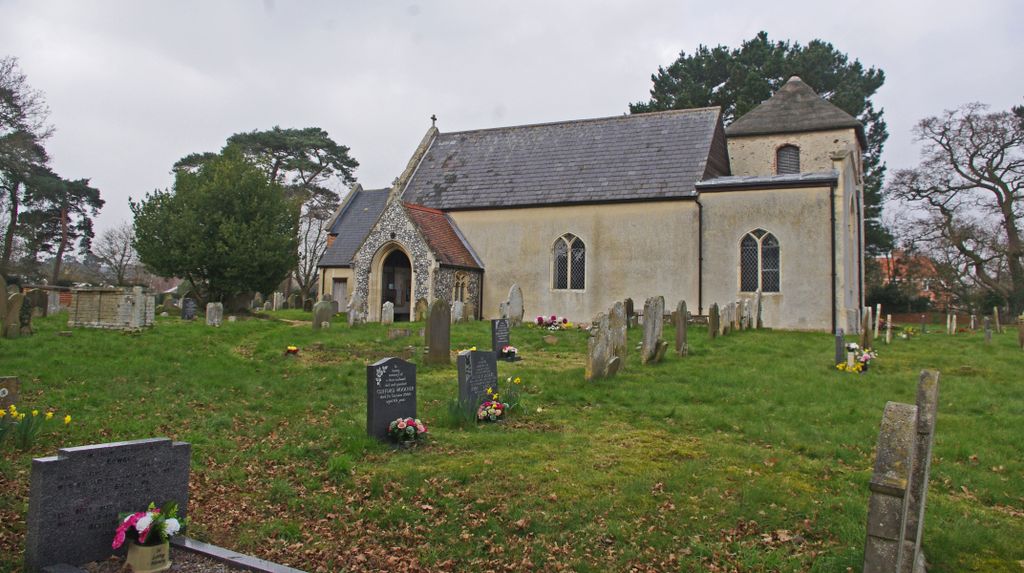
| Description | : | Chedgrave is the twin village to Loddon, across the west bank of the River Chet. Today there is little to distinguish the two except the river and its bridge with both parishes merging into a continuous inhabited area. The parish is compact and built along the river terraces that rise to the north-west of the river along the lines of the Loddon to Norwich road, now superseded by the by-pass. All Saints church sits on an apparently ancient site - its graveyard oval and raised is typical of ancient religious sites. Today's church is largely modern or Victorian but features remain... Read More |
frequently asked questions (FAQ):
-
Where is All Saints Churchyard?
All Saints Churchyard is located at Chedgrave, South Norfolk District ,Norfolk ,England.
-
All Saints Churchyard cemetery's updated grave count on graveviews.com?
0 memorials
-
Where are the coordinates of the All Saints Churchyard?
Latitude: 52.5409130
Longitude: 1.4831200
Nearby Cemetories:
1. Holy Trinity Churchyard
Loddon, South Norfolk District, England
Coordinate: 52.5350430, 1.4832560
2. St. Michaels's Church Cemetery
Langley with Hardley, South Norfolk District, England
Coordinate: 52.5552220, 1.4727530
3. Hardley Methodist Chapel
Langley with Hardley, South Norfolk District, England
Coordinate: 52.5577290, 1.4957960
4. St Gregory Churchyard
Heckingham, South Norfolk District, England
Coordinate: 52.5350940, 1.5144710
5. St Margaret's Churchyard
Hardley Street, South Norfolk District, England
Coordinate: 52.5522980, 1.5170630
6. Langley Abbey
Langley with Hardley, South Norfolk District, England
Coordinate: 52.5719000, 1.4875700
7. St Peter's Churchyard
Carleton St Peter, South Norfolk District, England
Coordinate: 52.5680520, 1.4514100
8. St Margaret Churchyard
Hales, South Norfolk District, England
Coordinate: 52.5109380, 1.5110840
9. St Peter's Churchyard
Mundham, South Norfolk District, England
Coordinate: 52.5303890, 1.4260120
10. St Mary's Parish Churchyard
Ashby St Mary, South Norfolk District, England
Coordinate: 52.5679100, 1.4354760
11. Ss Mary and Margaret Churchyard
Norton Subcourse, North Norfolk District, England
Coordinate: 52.5324780, 1.5483860
12. St Margaret and St Remigius Churchyard
Seething, South Norfolk District, England
Coordinate: 52.5303390, 1.4185000
13. St Andrews Churchyard
Raveningham, South Norfolk District, England
Coordinate: 52.5126430, 1.5323570
14. Methodist Churchyard
Norton Subcourse, North Norfolk District, England
Coordinate: 52.5317630, 1.5557020
15. St. Margaret Churchyard
Cantley, Broadland District, England
Coordinate: 52.5826600, 1.5137200
16. St Andrews
Claxton, South Norfolk District, England
Coordinate: 52.5769660, 1.4340060
17. St. Peter and St. Paul Churchyard
Bergh Apton, South Norfolk District, England
Coordinate: 52.5480290, 1.4060870
18. All Saints Churchyard
Kirby Cane, South Norfolk District, England
Coordinate: 52.4937500, 1.4952820
19. St. Botolph's Churchyard
Limpenhoe, Broadland District, England
Coordinate: 52.5811500, 1.5340800
20. St. John the Baptist Churchyard
Hellington, South Norfolk District, England
Coordinate: 52.5761440, 1.4132050
21. St. Mary's Churchyard
Hassingham, Broadland District, England
Coordinate: 52.5958770, 1.4963330
22. St Michael's Churchyard
Broome, South Norfolk District, England
Coordinate: 52.4860360, 1.4547410
23. St. Edmund's Church Cemetery
Southwood, Broadland District, England
Coordinate: 52.5918620, 1.5306067
24. St. Nicholas' Churchyard
Buckenham, Broadland District, England
Coordinate: 52.5995590, 1.4770110


