
| Memorials | : | 1 |
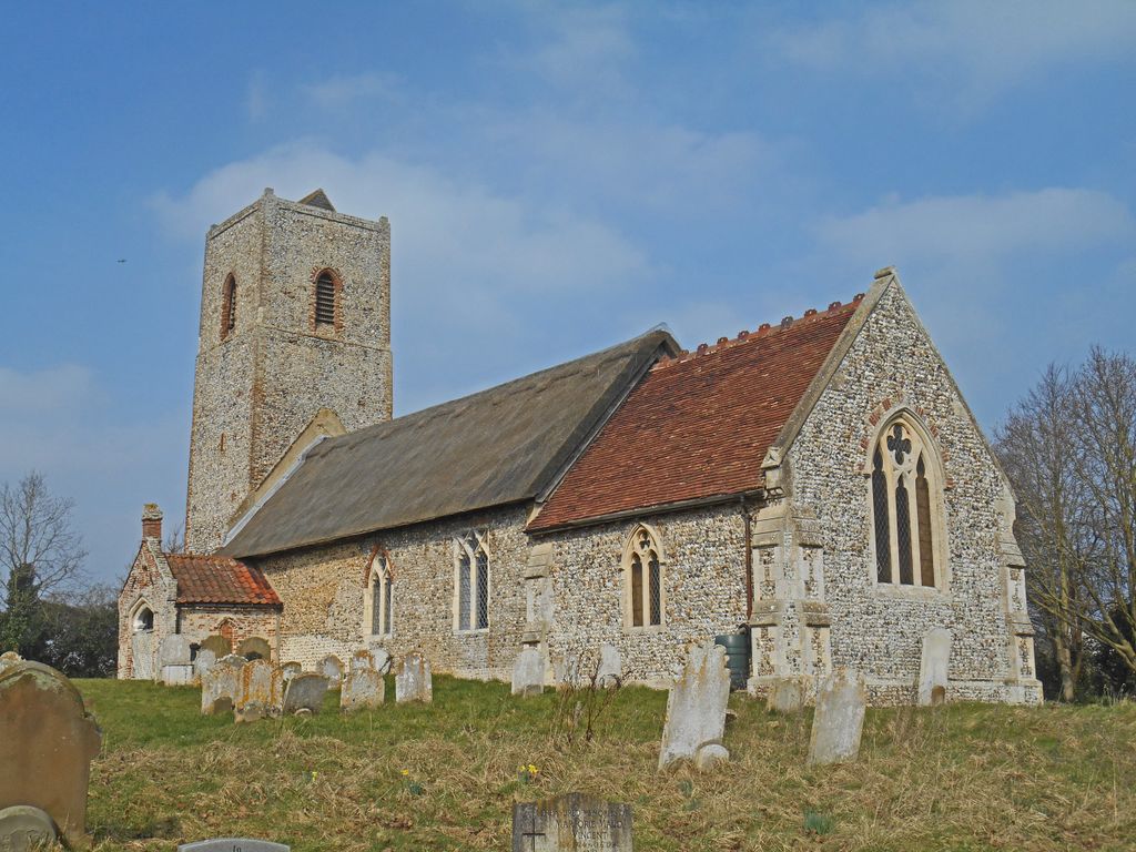
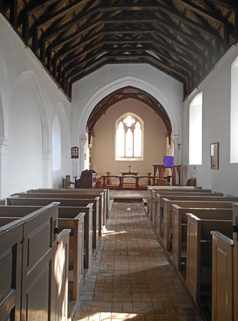
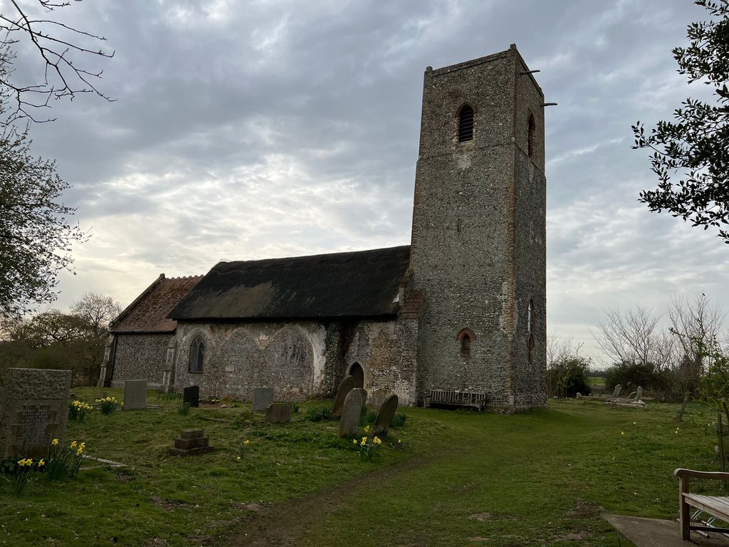
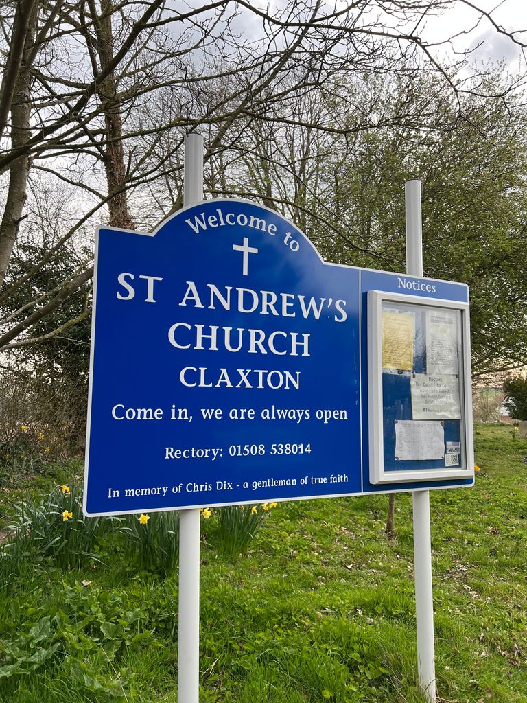
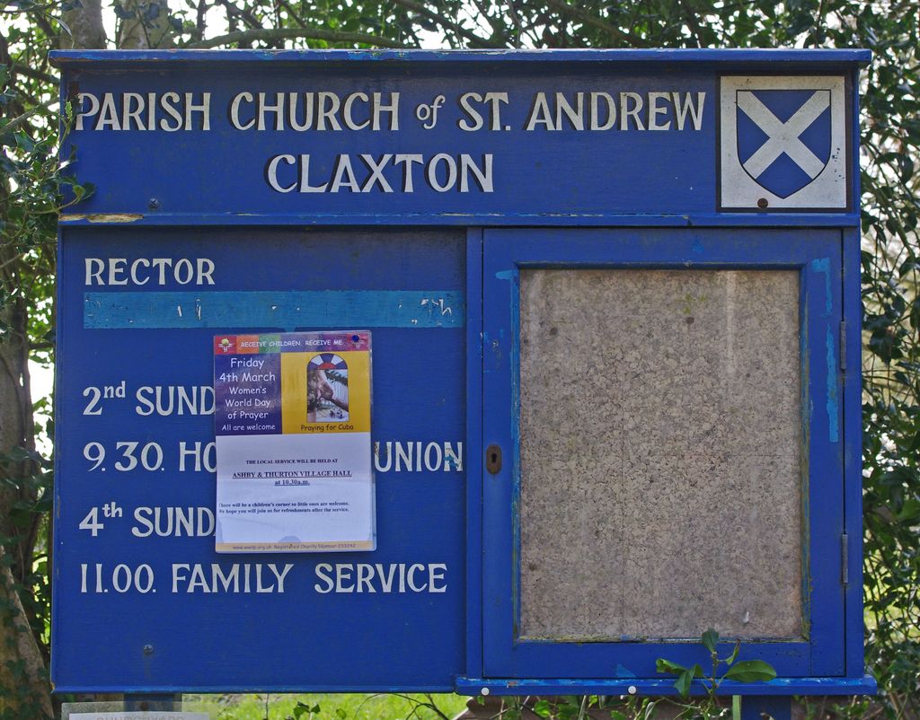
| Location | : | Claxton, South Norfolk District, England |
| Coordinate | : | 52.5769660, 1.4340060 |
frequently asked questions (FAQ):
-
Where is St Andrews?
St Andrews is located at Claxton, South Norfolk District ,Norfolk ,England.
-
St Andrews cemetery's updated grave count on graveviews.com?
1 memorials
-
Where are the coordinates of the St Andrews?
Latitude: 52.5769660
Longitude: 1.4340060
Nearby Cemetories:
1. St Mary's Parish Churchyard
Ashby St Mary, South Norfolk District, England
Coordinate: 52.5679100, 1.4354760
2. St. John the Baptist Churchyard
Hellington, South Norfolk District, England
Coordinate: 52.5761440, 1.4132050
3. St Peter's Churchyard
Carleton St Peter, South Norfolk District, England
Coordinate: 52.5680520, 1.4514100
4. St. Mary's Churchyard
Rockland St Mary, South Norfolk District, England
Coordinate: 52.5843940, 1.4112390
5. St Peter Churchyard
Bramerton, South Norfolk District, England
Coordinate: 52.5914090, 1.3885040
6. St. Michaels's Church Cemetery
Langley with Hardley, South Norfolk District, England
Coordinate: 52.5552220, 1.4727530
7. Langley Abbey
Langley with Hardley, South Norfolk District, England
Coordinate: 52.5719000, 1.4875700
8. St. Peter and St. Paul Churchyard
Bergh Apton, South Norfolk District, England
Coordinate: 52.5480290, 1.4060870
9. St. Nicholas' Churchyard
Buckenham, Broadland District, England
Coordinate: 52.5995590, 1.4770110
10. Hardley Methodist Chapel
Langley with Hardley, South Norfolk District, England
Coordinate: 52.5577290, 1.4957960
11. St. Mary's Churchyard
Hassingham, Broadland District, England
Coordinate: 52.5958770, 1.4963330
12. St. Peter's Churchyard
Strumpshaw, Broadland District, England
Coordinate: 52.6163970, 1.4688640
13. St Andrew Churchyard
Framingham Pigot, South Norfolk District, England
Coordinate: 52.5826070, 1.3606380
14. St Peters Churchyard
Brooke, South Norfolk District, England
Coordinate: 52.5452560, 1.3814930
15. St Andrew Churchyard
Framingham Earl, South Norfolk District, England
Coordinate: 52.5748560, 1.3596480
16. All Saints Churchyard
Chedgrave, South Norfolk District, England
Coordinate: 52.5409130, 1.4831200
17. St Peter's Churchyard
Mundham, South Norfolk District, England
Coordinate: 52.5303890, 1.4260120
18. St. Laurence's Churchyard
Brundall, Broadland District, England
Coordinate: 52.6242500, 1.4290300
19. St Margaret and St Remigius Churchyard
Seething, South Norfolk District, England
Coordinate: 52.5303390, 1.4185000
20. Saint Andrews
Kirby Bedon, South Norfolk District, England
Coordinate: 52.5989160, 1.3635240
21. St. Margaret Churchyard
Cantley, Broadland District, England
Coordinate: 52.5826600, 1.5137200
22. St. Michael's & All Angels Churchyard
Broadland District, England
Coordinate: 52.6255280, 1.4519720
23. All Saints Churchyard
Postwick, Broadland District, England
Coordinate: 52.6196730, 1.3913420
24. St. Michael's and All Angels Churchyard
Broadland District, England
Coordinate: 52.6257760, 1.4520390