
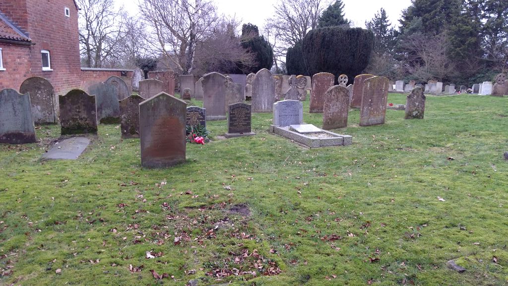
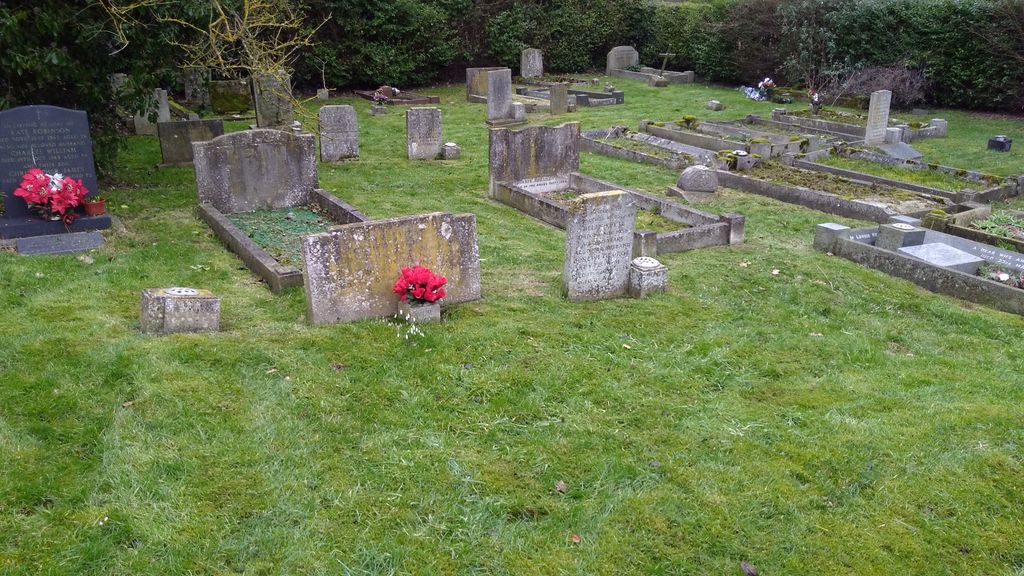
| Memorials | : | 21 |
| Location | : | Collingham, Newark and Sherwood District, England |
| Coordinate | : | 53.1425550, -0.7656640 |
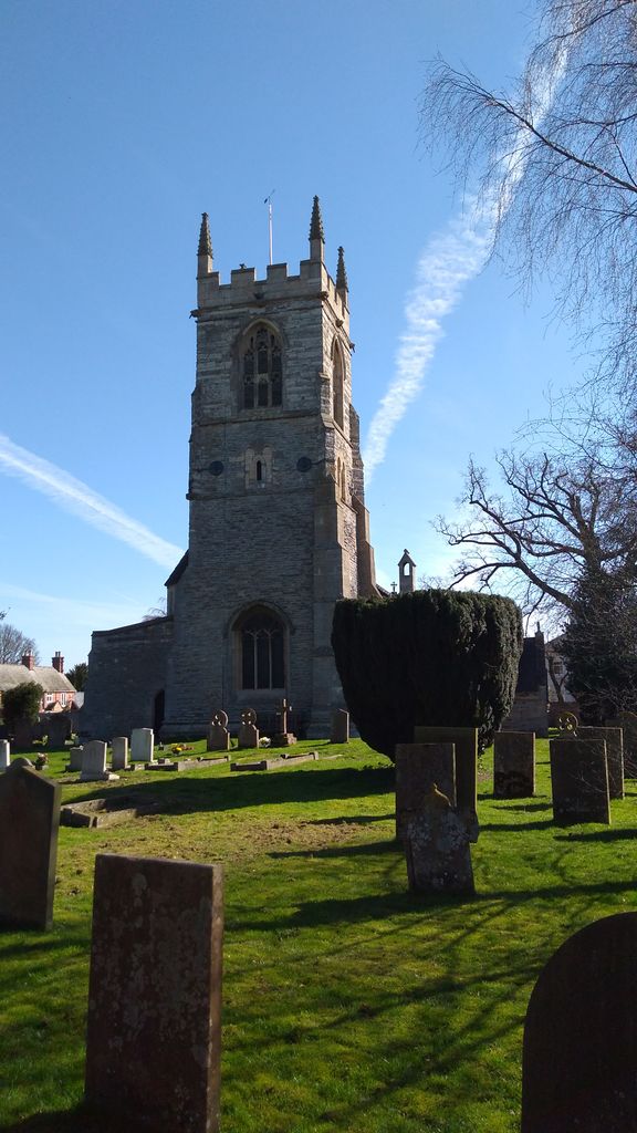
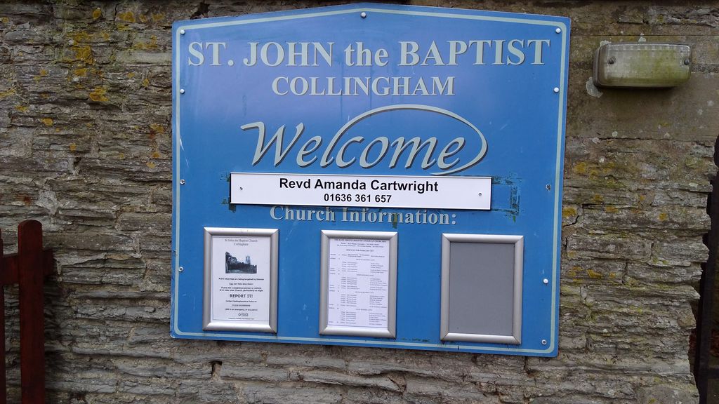
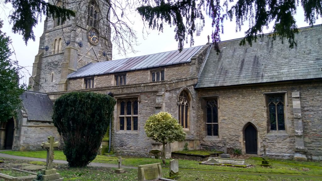
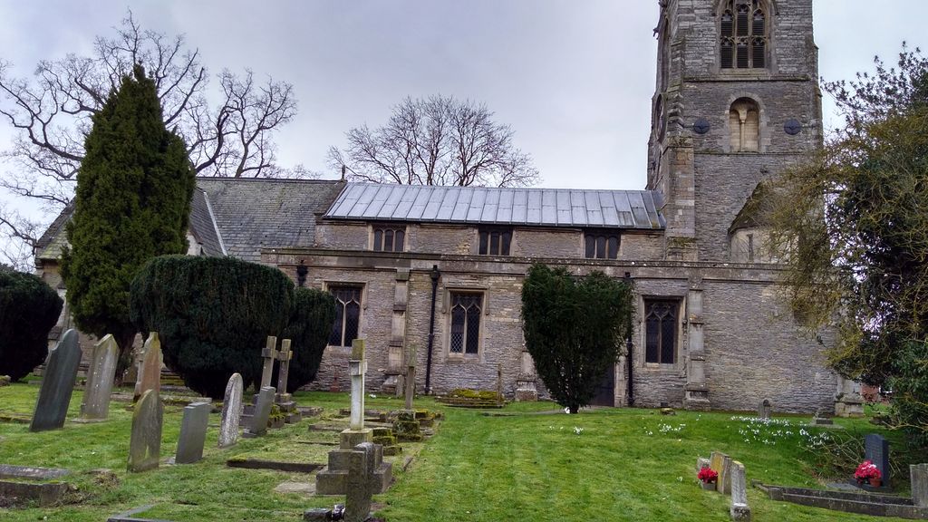
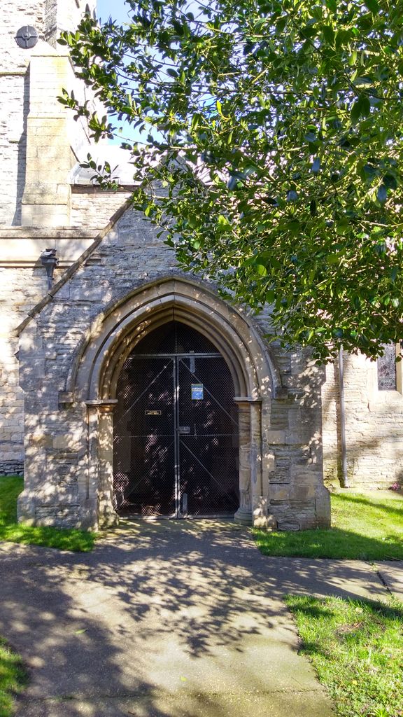
| Description | : | St. John the Baptist Church (Diocese of Southwell and Nottingham), is a Grade I listed building. Located in South Collingham, it dates from the 12th century and was restored in 1864, with the tower being last restored in 1890. You can read about the history of this church here (use your brower's 'back' key to return to this page). |
frequently asked questions (FAQ):
-
Where is St. John the Baptist Churchyard?
St. John the Baptist Churchyard is located at South Collingham Collingham, Newark and Sherwood District ,Nottinghamshire ,England.
-
St. John the Baptist Churchyard cemetery's updated grave count on graveviews.com?
21 memorials
-
Where are the coordinates of the St. John the Baptist Churchyard?
Latitude: 53.1425550
Longitude: -0.7656640
Nearby Cemetories:
1. Collingham North All Saints Churchyard
Collingham, Newark and Sherwood District, England
Coordinate: 53.1490600, -0.7607900
2. St Bartholomew Churchyard
Langford, Newark and Sherwood District, England
Coordinate: 53.1225760, -0.7743940
3. St Giles Churchyard
Cromwell, Newark and Sherwood District, England
Coordinate: 53.1449750, -0.8063850
4. Holy Trinity Churchyard
Besthorpe, Newark and Sherwood District, England
Coordinate: 53.1731600, -0.7664200
5. St Helena Churchyard
South Scarle, Newark and Sherwood District, England
Coordinate: 53.1665600, -0.7326100
6. St Mary's Churchyard
Carlton-on-Trent, Newark and Sherwood District, England
Coordinate: 53.1665950, -0.8058160
7. All Saints' Churchyard
Swinderby, North Kesteven District, England
Coordinate: 53.1587100, -0.7017900
8. St Cecilla Churchyard
Girton, Newark and Sherwood District, England
Coordinate: 53.1865300, -0.7663100
9. St. Laurence Churchyard
Norwell, Newark and Sherwood District, England
Coordinate: 53.1474220, -0.8418600
10. All Saints Churchyard
Winthorpe, Newark and Sherwood District, England
Coordinate: 53.0983646, -0.7884366
11. St Wilfred Churchyard
South Muskham, Newark and Sherwood District, England
Coordinate: 53.1071300, -0.8156400
12. All Saints Churchyard
Sutton-on-Trent, Newark and Sherwood District, England
Coordinate: 53.1846400, -0.8032700
13. Sutton on Trent Cemetery
Sutton-on-Trent, Newark and Sherwood District, England
Coordinate: 53.1876600, -0.8028300
14. All Saints Churchyard
North Scarle, North Kesteven District, England
Coordinate: 53.1909430, -0.7318880
15. St Michael's Church
Norton Disney, North Kesteven District, England
Coordinate: 53.1204000, -0.6795000
16. St Peter's Churchyard
Norton Disney, North Kesteven District, England
Coordinate: 53.1203200, -0.6716900
17. St. Peter's Churchyard
Norton Disney, North Kesteven District, England
Coordinate: 53.1203000, -0.6717000
18. All Saints Churchyard
Stapleford, North Kesteven District, England
Coordinate: 53.1082000, -0.6776500
19. All Saints Churchyard
Eagle, North Kesteven District, England
Coordinate: 53.1947490, -0.6904180
20. St. Mary Magdalene Church
Newark-on-Trent, Newark and Sherwood District, England
Coordinate: 53.0766983, -0.8085000
21. St Wilfrid's Churchyard
Kelham, Newark and Sherwood District, England
Coordinate: 53.0901100, -0.8459700
22. Brotts Road Cemetery
Normanton-on-Trent, Bassetlaw District, England
Coordinate: 53.2092038, -0.8128064
23. St Andrew Churchyard
Caunton, Newark and Sherwood District, England
Coordinate: 53.1322090, -0.8869640
24. St Germain Churchyard
Thurlby, South Kesteven District, England
Coordinate: 53.1447870, -0.6425330