
| Memorials | : | 642 |
| Location | : | Weston, Bath and North East Somerset Unitary Authority, England |
| Coordinate | : | 51.3956850, -2.3881320 |
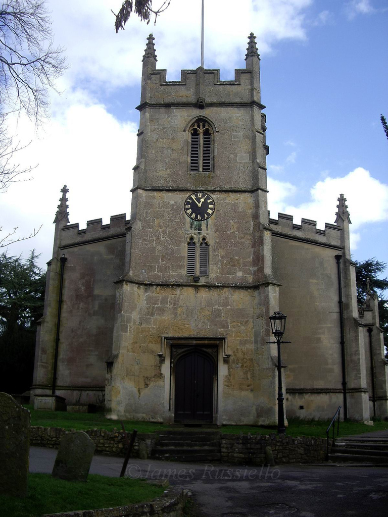
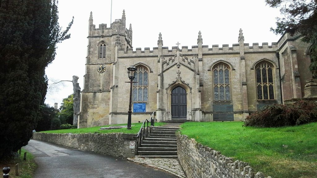
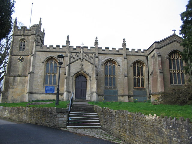
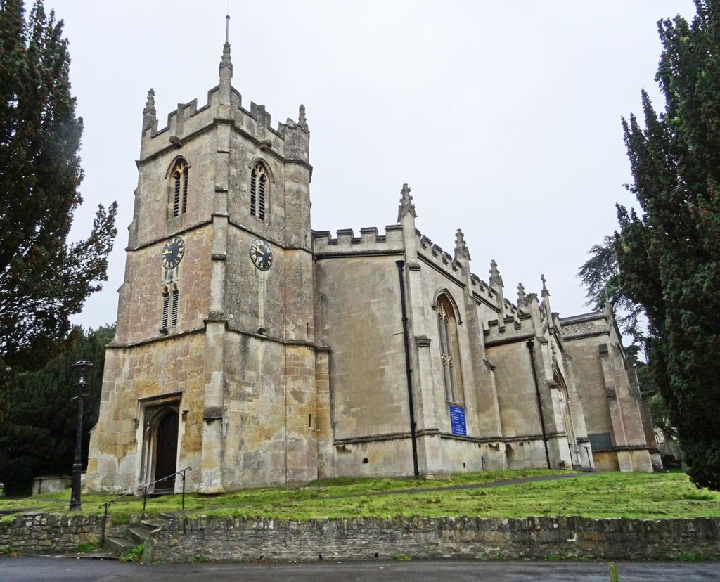
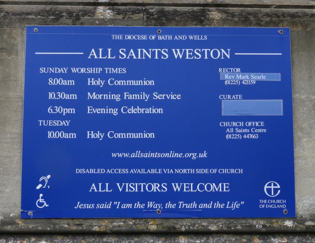
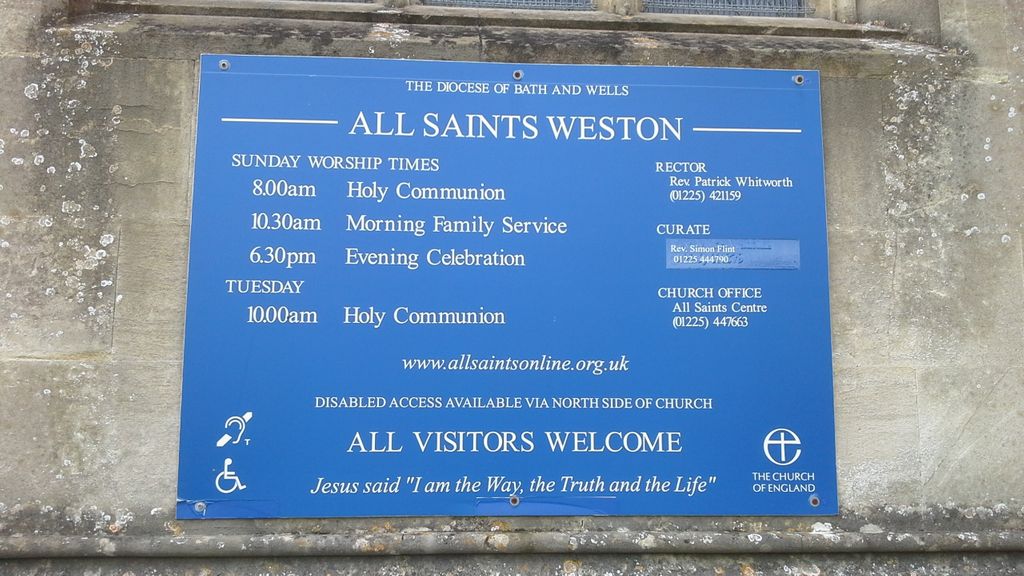
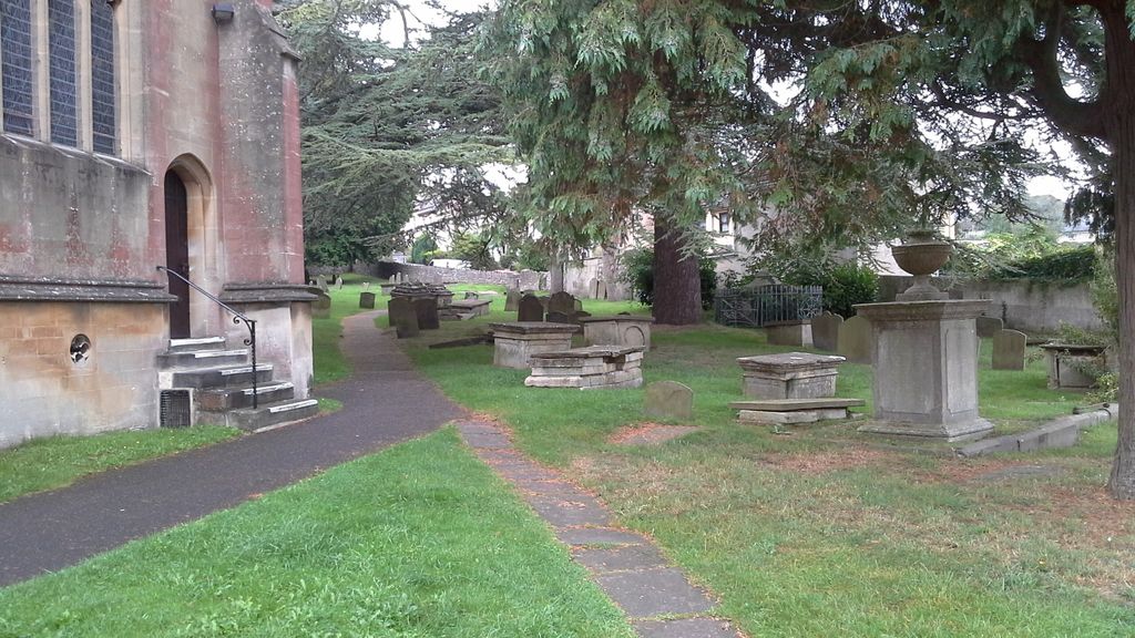
| Description | : | All Saints' Church is a Church of England parish church which has been located on a hill at the centre of Weston, a small village on the outskirts of Bath, England, for a thousand years. The current Gothic church was designed by architect John Pinch the Elder and completed in 1832, although it maintains a 15th Century tower for its predecessor "All Hallows" Church. Telephone: +44 (0)1225 447663 Churchyard There are over 90 tablets in the churchyard and many more within the church with some going back to the 12th Century. The church kept excellent records which indicated that most of... Read More |
frequently asked questions (FAQ):
-
Where is All Saints Churchyard?
All Saints Churchyard is located at All Saints Centre, High Street Weston, Bath and North East Somerset Unitary Authority ,Somerset , BA1 4BXEngland.
-
All Saints Churchyard cemetery's updated grave count on graveviews.com?
638 memorials
-
Where are the coordinates of the All Saints Churchyard?
Latitude: 51.3956850
Longitude: -2.3881320

Nearby Cemetories:
1. Countess of Huntingdon's Chapel
Walcot, Bath and North East Somerset Unitary Authority, England
Coordinate: 51.3967020, -2.3907434
2. Moravian Burial Ground
Bath, Bath and North East Somerset Unitary Authority, England
Coordinate: 51.3894150, -2.3798150
3. Locksbrook St Saviour's Cemetery
Bath and North East Somerset Unitary Authority, England
Coordinate: 51.3867880, -2.3863380
4. St. Michael's Cemetery
Bath, Bath and North East Somerset Unitary Authority, England
Coordinate: 51.3859700, -2.3814500
5. Locksbrook Cemetery
Lower Weston, Bath and North East Somerset Unitary Authority, England
Coordinate: 51.3845180, -2.3850300
6. Lansdown Cemetery
Lansdown, Bath and North East Somerset Unitary Authority, England
Coordinate: 51.4063620, -2.3780520
7. Twerton Cemetery
Twerton, Bath and North East Somerset Unitary Authority, England
Coordinate: 51.3802500, -2.3836220
8. St Michael and All Angels Churchyard
Twerton, Bath and North East Somerset Unitary Authority, England
Coordinate: 51.3809000, -2.3981000
9. Blessed Virgin Mary Churchyard
Charlcombe, Bath and North East Somerset Unitary Authority, England
Coordinate: 51.4046040, -2.3629440
10. St. James' Cemetery
Bath, Bath and North East Somerset Unitary Authority, England
Coordinate: 51.3802000, -2.3722200
11. St. Swithin Churchyard
Bath, Bath and North East Somerset Unitary Authority, England
Coordinate: 51.3885480, -2.3594500
12. St Mary's Chapel, Queens Square
Bath, Bath and North East Somerset Unitary Authority, England
Coordinate: 51.3827790, -2.3649790
13. Walcot Methodist Chapel Burial Ground
Bath, Bath and North East Somerset Unitary Authority, England
Coordinate: 51.3897080, -2.3579610
14. Bath General Hospital Burial Ground
Bath and North East Somerset Unitary Authority, England
Coordinate: 51.3824715, -2.3614742
15. St. Michael's Burial Ground
Bath, Bath and North East Somerset Unitary Authority, England
Coordinate: 51.3838810, -2.3594090
16. Ss Michael & Paul Churchyard
Bath, Bath and North East Somerset Unitary Authority, England
Coordinate: 51.3834970, -2.3596980
17. Independent Burial Ground Argyle Chapel
Bath, Bath and North East Somerset Unitary Authority, England
Coordinate: 51.3925420, -2.3536920
18. Quaker Meeting House
Bath, Bath and North East Somerset Unitary Authority, England
Coordinate: 51.3823280, -2.3604380
19. St. John the Baptist Churchyard
Bathwick, Bath and North East Somerset Unitary Authority, England
Coordinate: 51.3886890, -2.3547030
20. St. Mary's Churchyard
Bathwick, Bath and North East Somerset Unitary Authority, England
Coordinate: 51.3876120, -2.3543540
21. St. Mary de Stall Churchyard (Defunct)
Bath, Bath and North East Somerset Unitary Authority, England
Coordinate: 51.3813350, -2.3600353
22. St James Old Burial Ground
Bath, Bath and North East Somerset Unitary Authority, England
Coordinate: 51.3798600, -2.3610100
23. Bath Abbey
Bath, Bath and North East Somerset Unitary Authority, England
Coordinate: 51.3815310, -2.3586640
24. Old Orchard Street Catholic Burial Vault
Bath, Bath and North East Somerset Unitary Authority, England
Coordinate: 51.3800370, -2.3579910