
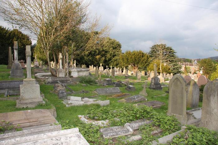
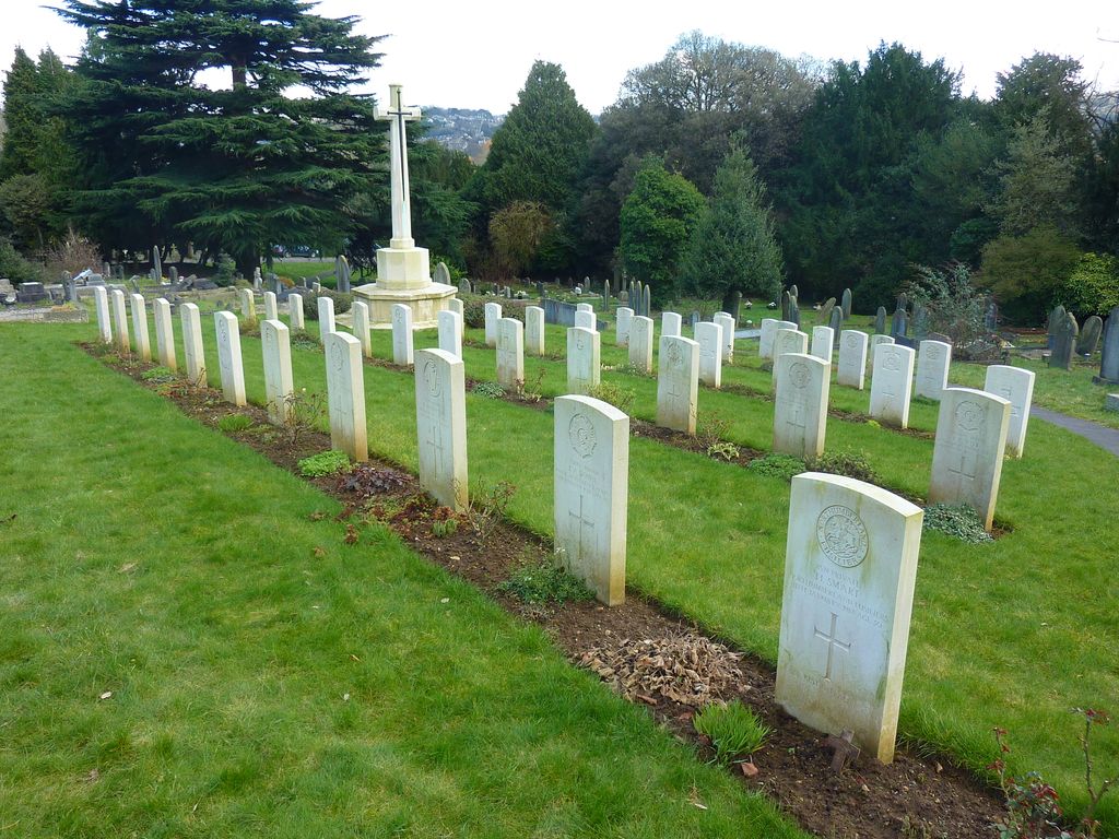
| Memorials | : | 21 |
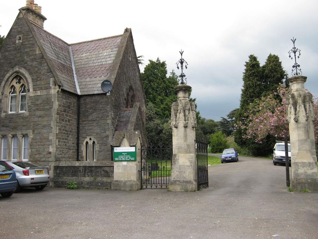
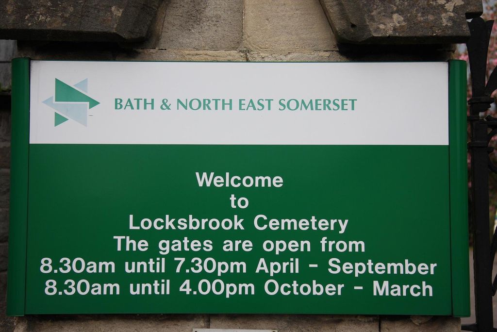
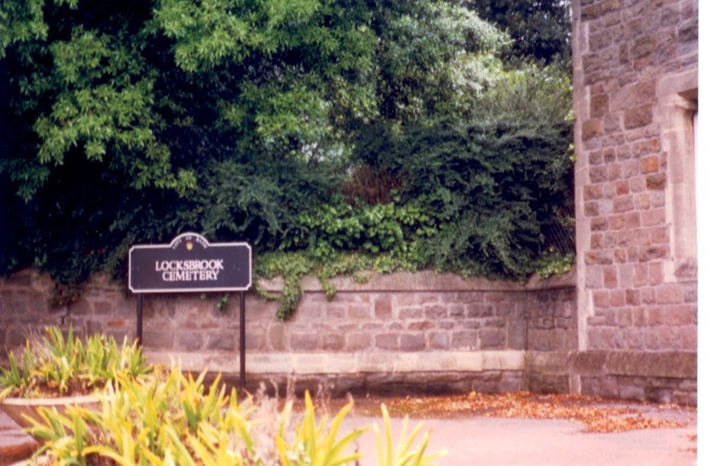
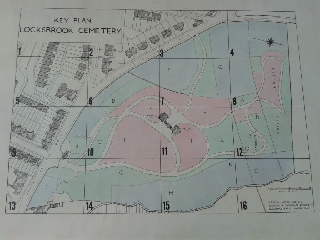
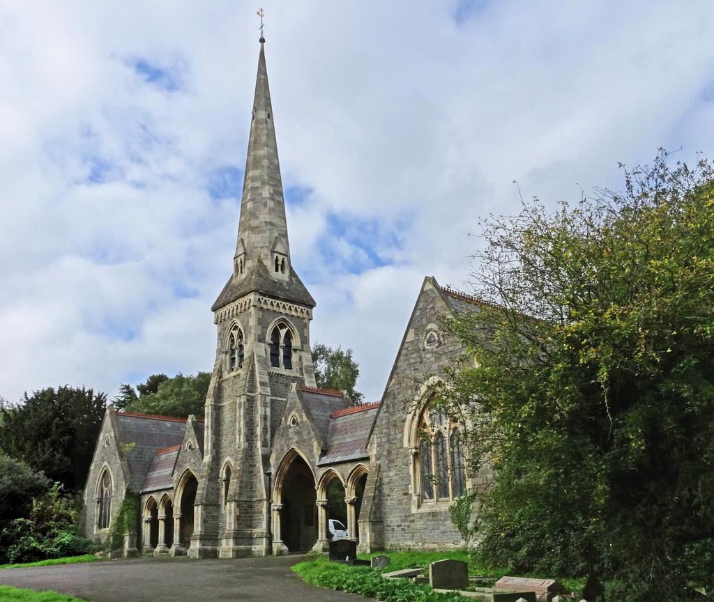
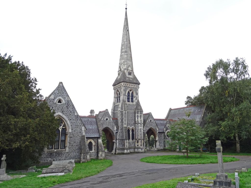
| Location | : | Lower Weston, Bath and North East Somerset Unitary Authority, England |
| Coordinate | : | 51.3845180, -2.3850300 |
frequently asked questions (FAQ):
-
Where is Locksbrook Cemetery?
Locksbrook Cemetery is located at Upper Bristol Road Lower Weston, Bath and North East Somerset Unitary Authority ,Somerset ,England.
-
Locksbrook Cemetery cemetery's updated grave count on graveviews.com?
21 memorials
-
Where are the coordinates of the Locksbrook Cemetery?
Latitude: 51.3845180
Longitude: -2.3850300
Nearby Cemetories:
1. Locksbrook St Saviour's Cemetery
Bath and North East Somerset Unitary Authority, England
Coordinate: 51.3867880, -2.3863380
2. St. Michael's Cemetery
Bath, Bath and North East Somerset Unitary Authority, England
Coordinate: 51.3859700, -2.3814500
3. Twerton Cemetery
Twerton, Bath and North East Somerset Unitary Authority, England
Coordinate: 51.3802500, -2.3836220
4. Moravian Burial Ground
Bath, Bath and North East Somerset Unitary Authority, England
Coordinate: 51.3894150, -2.3798150
5. St Michael and All Angels Churchyard
Twerton, Bath and North East Somerset Unitary Authority, England
Coordinate: 51.3809000, -2.3981000
6. St. James' Cemetery
Bath, Bath and North East Somerset Unitary Authority, England
Coordinate: 51.3802000, -2.3722200
7. All Saints Churchyard
Weston, Bath and North East Somerset Unitary Authority, England
Coordinate: 51.3956850, -2.3881320
8. St Mary's Chapel, Queens Square
Bath, Bath and North East Somerset Unitary Authority, England
Coordinate: 51.3827790, -2.3649790
9. Countess of Huntingdon's Chapel
Walcot, Bath and North East Somerset Unitary Authority, England
Coordinate: 51.3967020, -2.3907434
10. Bath General Hospital Burial Ground
Bath and North East Somerset Unitary Authority, England
Coordinate: 51.3824715, -2.3614742
11. St Mary Magdalen Chapel
Widcombe, Bath and North East Somerset Unitary Authority, England
Coordinate: 51.3760486, -2.3643405
12. Quaker Meeting House
Bath, Bath and North East Somerset Unitary Authority, England
Coordinate: 51.3823280, -2.3604380
13. St James Old Burial Ground
Bath, Bath and North East Somerset Unitary Authority, England
Coordinate: 51.3798600, -2.3610100
14. Ss Michael & Paul Churchyard
Bath, Bath and North East Somerset Unitary Authority, England
Coordinate: 51.3834970, -2.3596980
15. St. Mary de Stall Churchyard (Defunct)
Bath, Bath and North East Somerset Unitary Authority, England
Coordinate: 51.3813350, -2.3600353
16. St. Michael's Burial Ground
Bath, Bath and North East Somerset Unitary Authority, England
Coordinate: 51.3838810, -2.3594090
17. St. Swithin Churchyard
Bath, Bath and North East Somerset Unitary Authority, England
Coordinate: 51.3885480, -2.3594500
18. Bath Abbey
Bath, Bath and North East Somerset Unitary Authority, England
Coordinate: 51.3815310, -2.3586640
19. Old Orchard Street Catholic Burial Vault
Bath, Bath and North East Somerset Unitary Authority, England
Coordinate: 51.3800370, -2.3579910
20. Haycombe Cemetery and Crematorium
Bath, Bath and North East Somerset Unitary Authority, England
Coordinate: 51.3703430, -2.4014760
21. Walcot Methodist Chapel Burial Ground
Bath, Bath and North East Somerset Unitary Authority, England
Coordinate: 51.3897080, -2.3579610
22. Saint Mark's Churchyard
Widcombe, Bath and North East Somerset Unitary Authority, England
Coordinate: 51.3766660, -2.3588010
23. St. John the Baptist Churchyard
Bathwick, Bath and North East Somerset Unitary Authority, England
Coordinate: 51.3886890, -2.3547030
24. St. Mary's Churchyard
Bathwick, Bath and North East Somerset Unitary Authority, England
Coordinate: 51.3876120, -2.3543540