
| Memorials | : | 20 |
| Location | : | Dunwich, Suffolk Coastal District, England |
| Coordinate | : | 52.2752300, 1.6321940 |
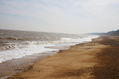
| Description | : | All Saints was the last of Dunwich's ancient churches to be lost to the sea. It was abandoned in the 1750s after it was decided the parishioners could no longer afford the upkeep, although burials occurred in the churchyard until the 1820s. The cliff edge reached All Saints' in 1904 and the tower (at its west end) fell in 1922. One of the tower buttresses was salvaged and now stands in the current St James' Church. One of the last remaining gravestones, in memory of John Brinkley Easey, fell over the cliff in the early 1990s. A large block... Read More |
frequently asked questions (FAQ):
-
Where is All Saints Churchyard?
All Saints Churchyard is located at Dunwich, Suffolk Coastal District ,Suffolk ,England.
-
All Saints Churchyard cemetery's updated grave count on graveviews.com?
17 memorials
-
Where are the coordinates of the All Saints Churchyard?
Latitude: 52.2752300
Longitude: 1.6321940
Nearby Cemetories:
1. Greyfriars Medieval Friary
Dunwich, Suffolk Coastal District, England
Coordinate: 52.2755000, 1.6307000
2. St. James's Churchyard
Dunwich, Suffolk Coastal District, England
Coordinate: 52.2779090, 1.6261340
3. Black Friars Priory
Dunwich, Suffolk Coastal District, England
Coordinate: 52.2719920, 1.6395154
4. Holy Trinity Churchyard
Middleton, Suffolk Coastal District, England
Coordinate: 52.2542140, 1.5589130
5. Holy Trinity Churchyard
Blythburgh, Suffolk Coastal District, England
Coordinate: 52.3211920, 1.5947390
6. All Saints Churchyard
Darsham, Suffolk Coastal District, England
Coordinate: 52.2741900, 1.5474200
7. St. Peter's Churchyard Extension
Theberton, Suffolk Coastal District, England
Coordinate: 52.2374910, 1.5693750
8. St. Peter's Churchyard
Theberton, Suffolk Coastal District, England
Coordinate: 52.2374790, 1.5682140
9. St. Edmund's Churchyard
Southwold, Waveney District, England
Coordinate: 52.3282060, 1.6786390
10. Saint Peter's Churchyard
Thorington, Suffolk Coastal District, England
Coordinate: 52.3118310, 1.5534681
11. St Margaret of Antioch Churchyard
Reydon, Waveney District, England
Coordinate: 52.3451350, 1.6556580
12. Southwold Cemetery
Southwold, Waveney District, England
Coordinate: 52.3457710, 1.6572730
13. All Saints Churchyard
Blyford, Waveney District, England
Coordinate: 52.3351840, 1.5574440
14. Quaker cemetery
Leiston, Suffolk Coastal District, England
Coordinate: 52.2073800, 1.5742950
15. Leiston Cemetery
Leiston, Suffolk Coastal District, England
Coordinate: 52.2105940, 1.5626350
16. St. Andrew's Churchyard
Bramfield, Suffolk Coastal District, England
Coordinate: 52.3102311, 1.5179990
17. United Reform Churchyard
Bramfield, Suffolk Coastal District, England
Coordinate: 52.3119170, 1.5183490
18. St. Margaret's Parish Churchyard
Leiston, Suffolk Coastal District, England
Coordinate: 52.2066800, 1.5679300
19. Ss Peter and Paul Churchyard
Wangford, Waveney District, England
Coordinate: 52.3546610, 1.6197460
20. St George's Churchyard
Dittisham, South Hams District, England
Coordinate: 52.1993239, 1.5785005
21. St. Lawrence Churchyard
Knodishall, Suffolk Coastal District, England
Coordinate: 52.2024000, 1.5488000
22. St Andrew's Churchyard
Sotherton, Waveney District, England
Coordinate: 52.3591930, 1.5837900
23. St Andrews Churchyard
Aldringham, Suffolk Coastal District, England
Coordinate: 52.1888450, 1.5877820
24. St Mary Churchyard
Uggeshall, Waveney District, England
Coordinate: 52.3665630, 1.6054470