
| Memorials | : | 0 |
| Location | : | Milton, South Cambridgeshire District, England |
| Coordinate | : | 52.2502700, 0.1641900 |
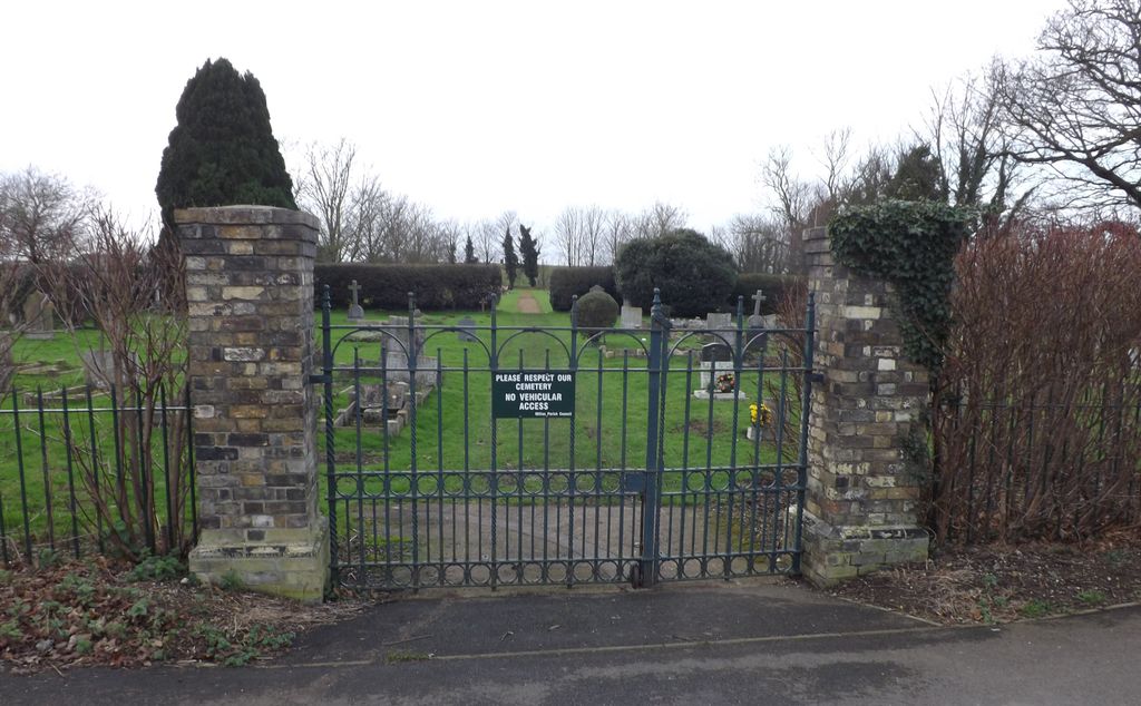
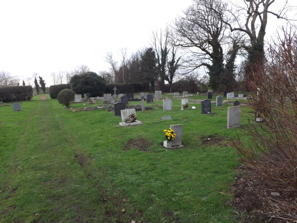
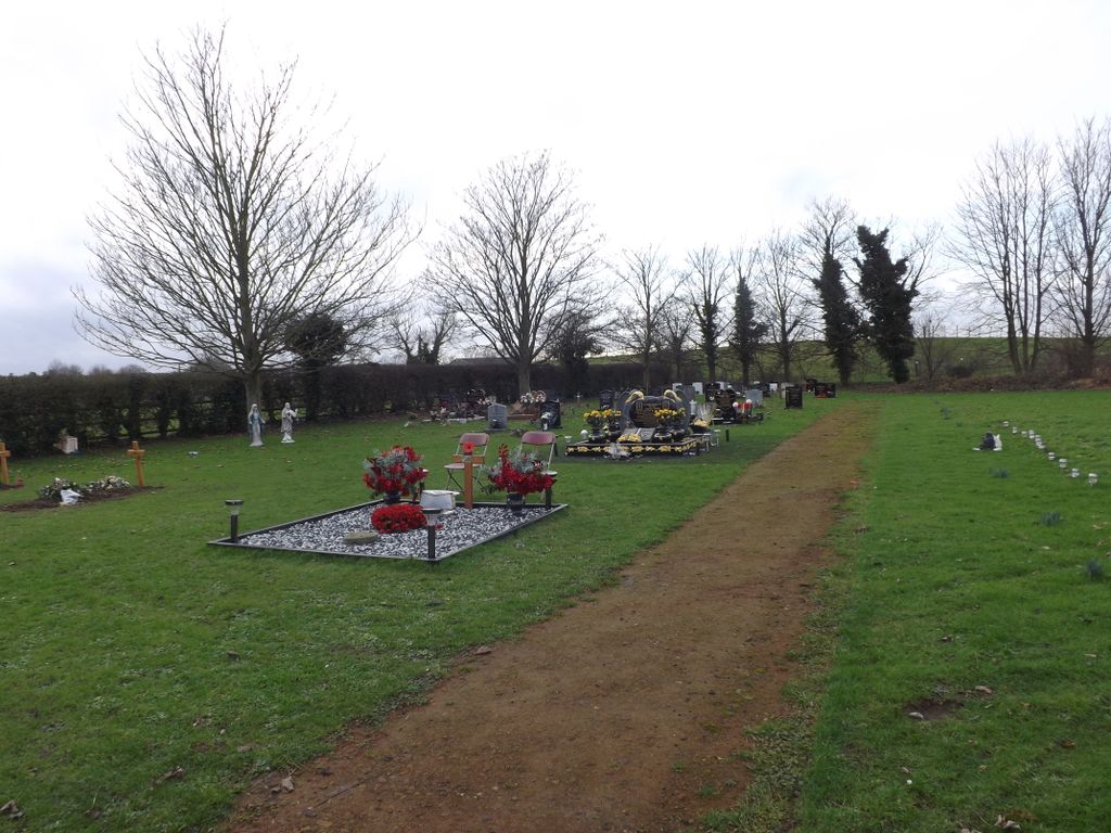
| Description | : | Although described by The Commonwealth War Graves Commission as a churchyard extension, the burial ground was actually a church cemetery, being very much detached and remote from the churchyard. It can be found some distance North-East of the church across the main A 10 highway. It is in two parts-both now being administered by Milton Parish Council. It received its first burial in 1902, the churchyard at All Saints' Church being full by that time. |
frequently asked questions (FAQ):
-
Where is All Saints Churchyard Extension?
All Saints Churchyard Extension is located at Landbeach Road Milton, South Cambridgeshire District ,Cambridgeshire ,England.
-
All Saints Churchyard Extension cemetery's updated grave count on graveviews.com?
0 memorials
-
Where are the coordinates of the All Saints Churchyard Extension?
Latitude: 52.2502700
Longitude: 0.1641900
Nearby Cemetories:
1. All Saints Churchyard
Milton, South Cambridgeshire District, England
Coordinate: 52.2443800, 0.1665600
2. St. Peter Churchyard
Horningsea, South Cambridgeshire District, England
Coordinate: 52.2418000, 0.1846800
3. All Saints Churchyard
Landbeach, South Cambridgeshire District, England
Coordinate: 52.2664100, 0.1623000
4. Horningsea Cemetery
Horningsea, South Cambridgeshire District, England
Coordinate: 52.2358100, 0.1832900
5. Waterbeach Baptist Church
Waterbeach, South Cambridgeshire District, England
Coordinate: 52.2652204, 0.1913064
6. Fen Ditton Cemetery
Fen Ditton, South Cambridgeshire District, England
Coordinate: 52.2233300, 0.1696700
7. St Andrew Churchyard
Impington, South Cambridgeshire District, England
Coordinate: 52.2481200, 0.1193150
8. Waterbeach Cemetery
Waterbeach, South Cambridgeshire District, England
Coordinate: 52.2735800, 0.1888600
9. St. Mary the Virgin Churchyard
Fen Ditton, South Cambridgeshire District, England
Coordinate: 52.2215560, 0.1691510
10. Histon & Impington Cemetery
Histon, South Cambridgeshire District, England
Coordinate: 52.2530800, 0.1107900
11. St. Andrew's Churchyard
Chesterton, City of Cambridge, England
Coordinate: 52.2157600, 0.1397700
12. Cambridge City Cemetery
Cambridge, City of Cambridge, England
Coordinate: 52.2124080, 0.1665440
13. St. Andrew Churchyard
Histon, South Cambridgeshire District, England
Coordinate: 52.2553700, 0.1022700
14. Barnwell Priory
Cambridge, City of Cambridge, England
Coordinate: 52.2096000, 0.1390000
15. St Andrew the Less Abbey Churchyard
Cambridge, City of Cambridge, England
Coordinate: 52.2089000, 0.1397400
16. St Luke's Church
Cambridge, City of Cambridge, England
Coordinate: 52.2157779, 0.1164151
17. Cottenham Dissenters Cemetery
Cottenham, South Cambridgeshire District, England
Coordinate: 52.2868100, 0.1201200
18. Christ Church Cemetery
Cambridge, City of Cambridge, England
Coordinate: 52.2078800, 0.1333600
19. Histon Road Cemetery
Cambridge, City of Cambridge, England
Coordinate: 52.2160480, 0.1126310
20. All Saints Churchyard
Teversham, South Cambridgeshire District, England
Coordinate: 52.2046650, 0.1880510
21. All Saints Churchyard
Cambridge, City of Cambridge, England
Coordinate: 52.2082770, 0.1232310
22. Lode Baptist Chapel
Lode, East Cambridgeshire District, England
Coordinate: 52.2409600, 0.2436900
23. St Giles with St Peter Churchyard
Cambridge, City of Cambridge, England
Coordinate: 52.2110650, 0.1138330
24. St Clement's Churchyard
Cambridge, City of Cambridge, England
Coordinate: 52.2090800, 0.1178940