
| Memorials | : | 0 |
| Location | : | Fen Ditton, South Cambridgeshire District, England |
| Coordinate | : | 52.2215560, 0.1691510 |
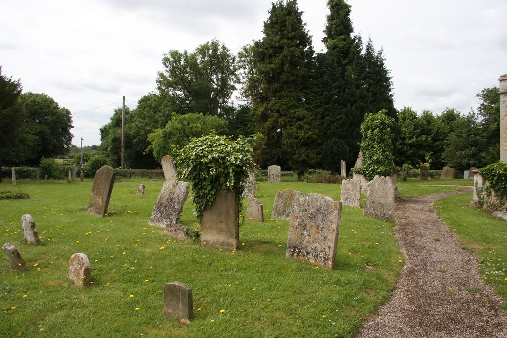
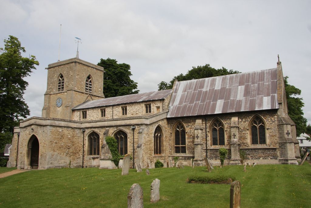
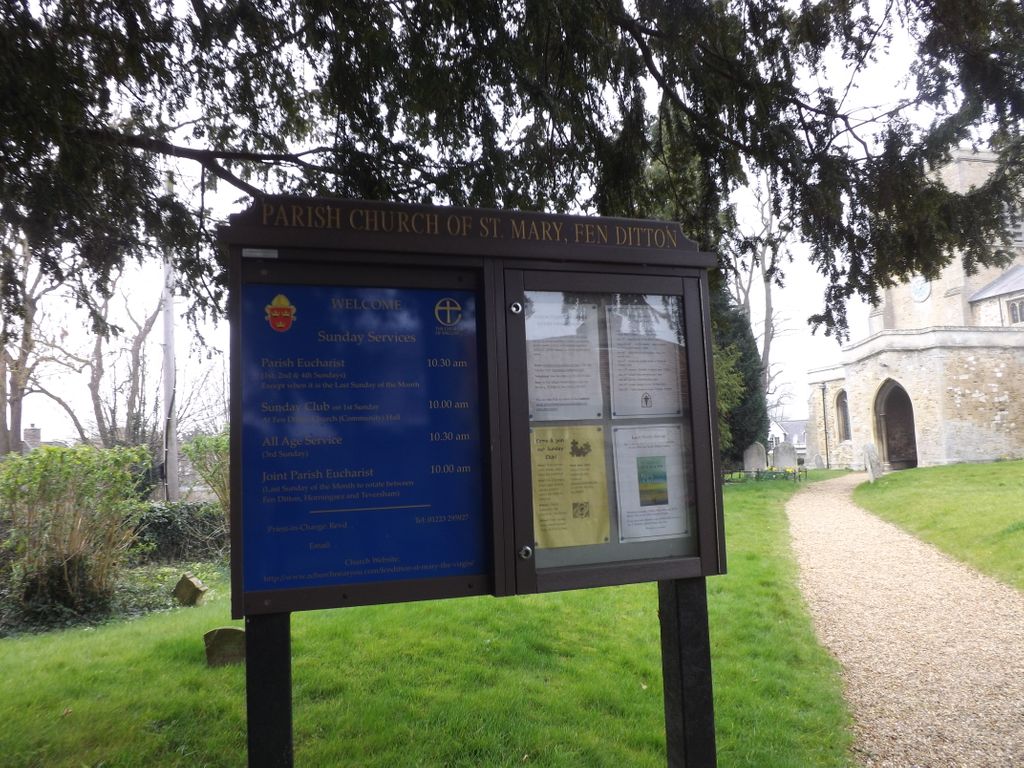
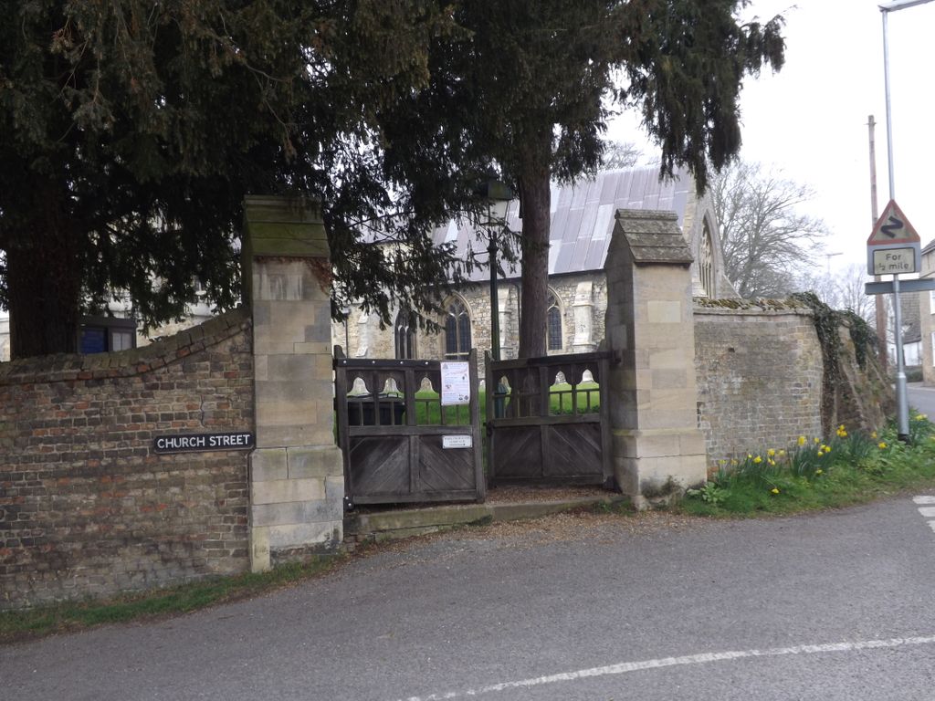
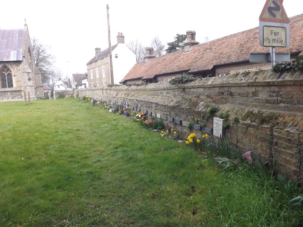
| Description | : | St. Mary the Virgin, Fen Ditton is a village church near the banks of the River Cam just outside Cambridge in the diocese of Ely. It is joined with the neighbouring village parishes of St Peter's, Horningsea and All Saints', Teversham. St Mary the Virgin is located at the top of Church Street, looking down the High Street with the War Memorial and the King's Head pub as near neighbours. The church is a village landmark, visible to riverside walkers and rowers on the Cam from Fen Ditton Meadows. |
frequently asked questions (FAQ):
-
Where is St. Mary the Virgin Churchyard?
St. Mary the Virgin Churchyard is located at Jesus Lane Fen Ditton, South Cambridgeshire District ,Cambridgeshire , CB5 8BJEngland.
-
St. Mary the Virgin Churchyard cemetery's updated grave count on graveviews.com?
0 memorials
-
Where are the coordinates of the St. Mary the Virgin Churchyard?
Latitude: 52.2215560
Longitude: 0.1691510
Nearby Cemetories:
1. Fen Ditton Cemetery
Fen Ditton, South Cambridgeshire District, England
Coordinate: 52.2233300, 0.1696700
2. Cambridge City Cemetery
Cambridge, City of Cambridge, England
Coordinate: 52.2124080, 0.1665440
3. Horningsea Cemetery
Horningsea, South Cambridgeshire District, England
Coordinate: 52.2358100, 0.1832900
4. St. Andrew's Churchyard
Chesterton, City of Cambridge, England
Coordinate: 52.2157600, 0.1397700
5. All Saints Churchyard
Teversham, South Cambridgeshire District, England
Coordinate: 52.2046650, 0.1880510
6. Barnwell Priory
Cambridge, City of Cambridge, England
Coordinate: 52.2096000, 0.1390000
7. St Andrew the Less Abbey Churchyard
Cambridge, City of Cambridge, England
Coordinate: 52.2089000, 0.1397400
8. St. Peter Churchyard
Horningsea, South Cambridgeshire District, England
Coordinate: 52.2418000, 0.1846800
9. All Saints Churchyard
Milton, South Cambridgeshire District, England
Coordinate: 52.2443800, 0.1665600
10. Christ Church Cemetery
Cambridge, City of Cambridge, England
Coordinate: 52.2078800, 0.1333600
11. All Saints Churchyard Extension
Milton, South Cambridgeshire District, England
Coordinate: 52.2502700, 0.1641900
12. Mill Road Cemetery
Cambridge, City of Cambridge, England
Coordinate: 52.2009520, 0.1351060
13. St Andrew Churchyard
Cherry Hinton, City of Cambridge, England
Coordinate: 52.1919170, 0.1779000
14. All Saints Churchyard
Cambridge, City of Cambridge, England
Coordinate: 52.2082770, 0.1232310
15. Emmanuel College
Cambridge, City of Cambridge, England
Coordinate: 52.2038050, 0.1243050
16. St Luke's Church
Cambridge, City of Cambridge, England
Coordinate: 52.2157779, 0.1164151
17. Christ's College Chapel
Cambridge, City of Cambridge, England
Coordinate: 52.2056590, 0.1221500
18. Sidney Sussex College
Cambridge, City of Cambridge, England
Coordinate: 52.2072330, 0.1202440
19. St. Andrew's Street Baptist Churchyard
Cambridge, City of Cambridge, England
Coordinate: 52.2029841, 0.1239218
20. Holy Sepulchre
Cambridge, City of Cambridge, England
Coordinate: 52.2084330, 0.1190030
21. St Andrew the Great Churchyard
Cambridge, City of Cambridge, England
Coordinate: 52.2049630, 0.1217630
22. St Clement's Churchyard
Cambridge, City of Cambridge, England
Coordinate: 52.2090800, 0.1178940
23. Holy Trinity Church
Cambridge, City of Cambridge, England
Coordinate: 52.2059890, 0.1201900
24. St Johns College
Cambridge, City of Cambridge, England
Coordinate: 52.2083270, 0.1169260