
| Memorials | : | 0 |
| Location | : | Horningsea, South Cambridgeshire District, England |
| Coordinate | : | 52.2418000, 0.1846800 |
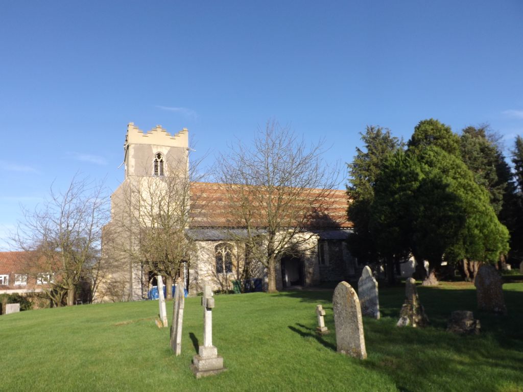
| Description | : | Horningsea is a small village north of Cambridge in Cambridgeshire in England.. It lies on the east bank of the River Cam, and on the road from Cambridge to Clayhithe. Listed as Horningesea in the Domesday Book, the village's name derives from either "Island (or dry ground in marsh) of a man called Horning" or "Island by the horn-shaped hill". |
frequently asked questions (FAQ):
-
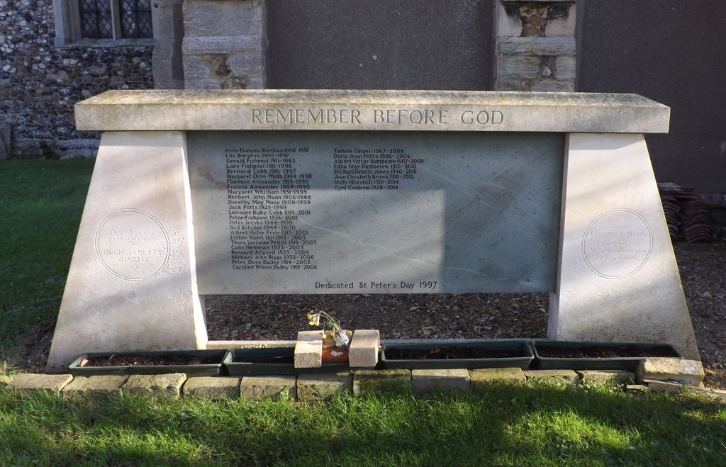
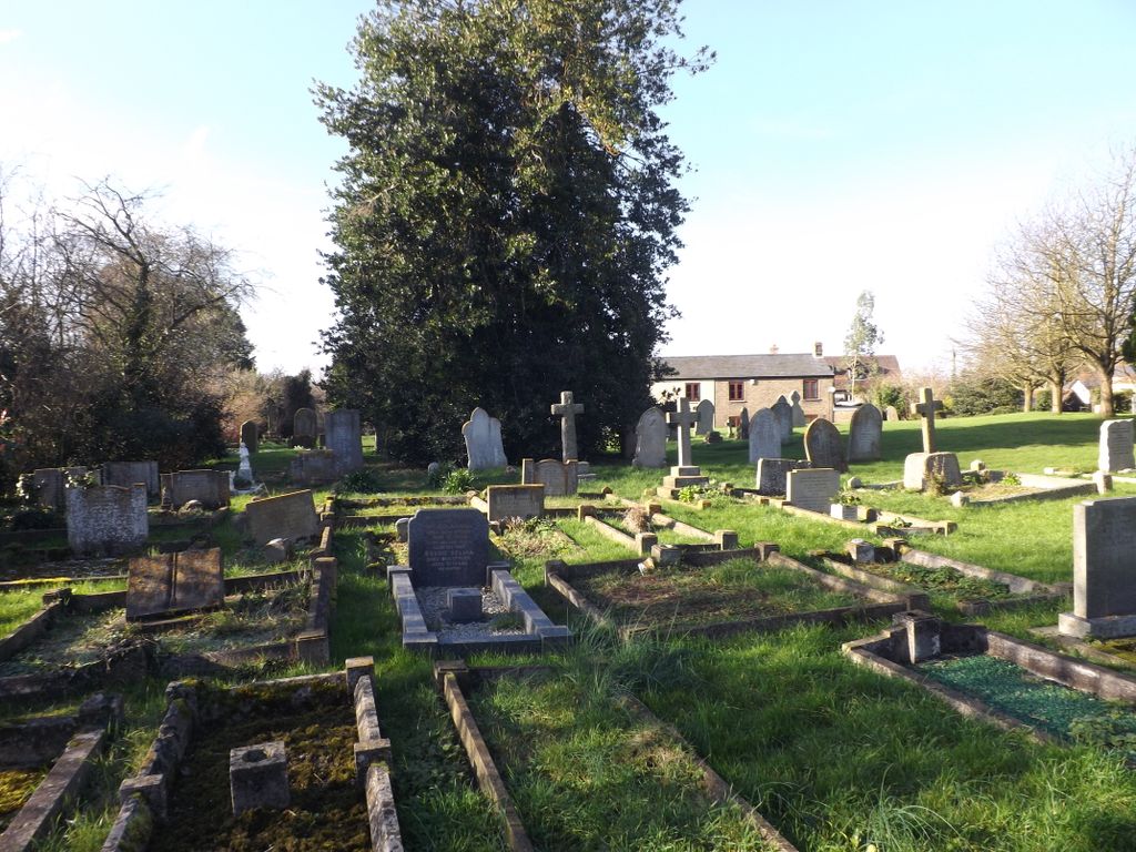
Where is St. Peter Churchyard?
St. Peter Churchyard is located at Horningsea, South Cambridgeshire District ,Cambridgeshire ,England.
-
St. Peter Churchyard cemetery's updated grave count on graveviews.com?
0 memorials
-
Where are the coordinates of the St. Peter Churchyard?
Latitude: 52.2418000
Longitude: 0.1846800
Nearby Cemetories:
1. Horningsea Cemetery
Horningsea, South Cambridgeshire District, England
Coordinate: 52.2358100, 0.1832900
2. All Saints Churchyard
Milton, South Cambridgeshire District, England
Coordinate: 52.2443800, 0.1665600
3. All Saints Churchyard Extension
Milton, South Cambridgeshire District, England
Coordinate: 52.2502700, 0.1641900
4. Fen Ditton Cemetery
Fen Ditton, South Cambridgeshire District, England
Coordinate: 52.2233300, 0.1696700
5. St. Mary the Virgin Churchyard
Fen Ditton, South Cambridgeshire District, England
Coordinate: 52.2215560, 0.1691510
6. Waterbeach Baptist Church
Waterbeach, South Cambridgeshire District, England
Coordinate: 52.2652204, 0.1913064
7. All Saints Churchyard
Landbeach, South Cambridgeshire District, England
Coordinate: 52.2664100, 0.1623000
8. Cambridge City Cemetery
Cambridge, City of Cambridge, England
Coordinate: 52.2124080, 0.1665440
9. Waterbeach Cemetery
Waterbeach, South Cambridgeshire District, England
Coordinate: 52.2735800, 0.1888600
10. Lode Baptist Chapel
Lode, East Cambridgeshire District, England
Coordinate: 52.2409600, 0.2436900
11. Saint James Churchyard
Lode, East Cambridgeshire District, England
Coordinate: 52.2408700, 0.2447000
12. All Saints Churchyard
Teversham, South Cambridgeshire District, England
Coordinate: 52.2046650, 0.1880510
13. St. Andrew's Churchyard
Chesterton, City of Cambridge, England
Coordinate: 52.2157600, 0.1397700
14. St Andrew Churchyard
Impington, South Cambridgeshire District, England
Coordinate: 52.2481200, 0.1193150
15. Barnwell Priory
Cambridge, City of Cambridge, England
Coordinate: 52.2096000, 0.1390000
16. St Andrew the Less Abbey Churchyard
Cambridge, City of Cambridge, England
Coordinate: 52.2089000, 0.1397400
17. Christ Church Cemetery
Cambridge, City of Cambridge, England
Coordinate: 52.2078800, 0.1333600
18. Histon & Impington Cemetery
Histon, South Cambridgeshire District, England
Coordinate: 52.2530800, 0.1107900
19. St Luke's Church
Cambridge, City of Cambridge, England
Coordinate: 52.2157779, 0.1164151
20. St Andrew Churchyard
Cherry Hinton, City of Cambridge, England
Coordinate: 52.1919170, 0.1779000
21. All Saints Churchyard
Cambridge, City of Cambridge, England
Coordinate: 52.2082770, 0.1232310
22. Mill Road Cemetery
Cambridge, City of Cambridge, England
Coordinate: 52.2009520, 0.1351060
23. Histon Road Cemetery
Cambridge, City of Cambridge, England
Coordinate: 52.2160480, 0.1126310
24. Holy Trinity Churchyard
Bottisham, East Cambridgeshire District, England
Coordinate: 52.2207558, 0.2609813