| Memorials | : | 9 |
| Location | : | Pawleys Island, Georgetown County, USA |
| Coordinate | : | 33.4672012, -79.1402969 |
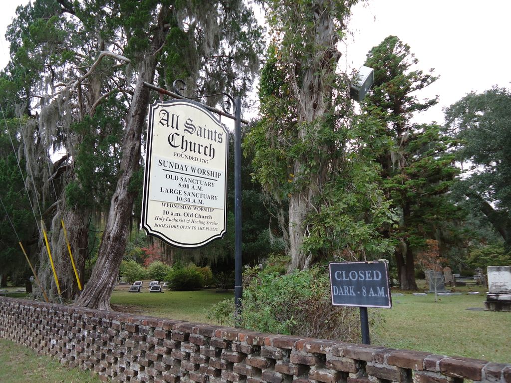
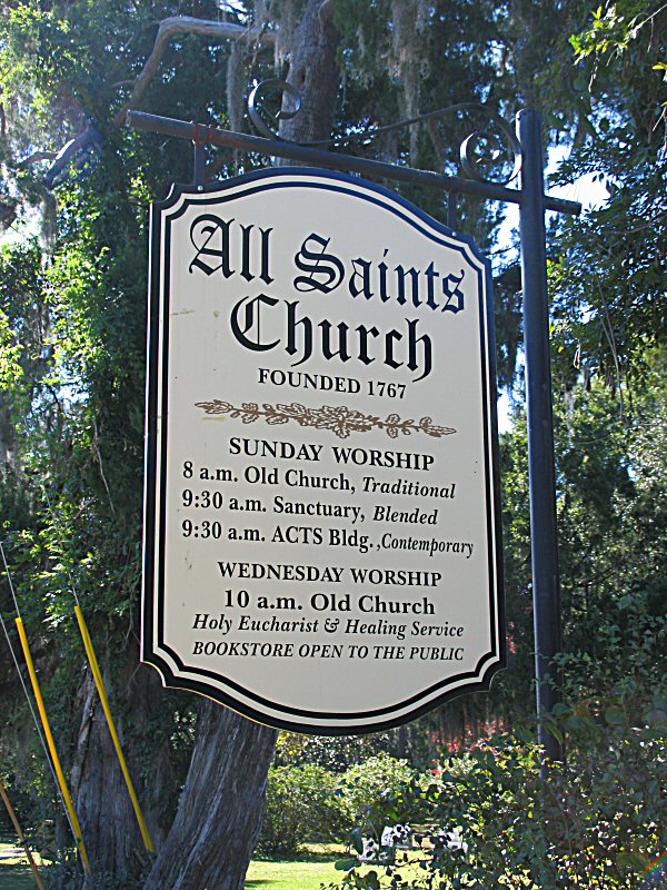
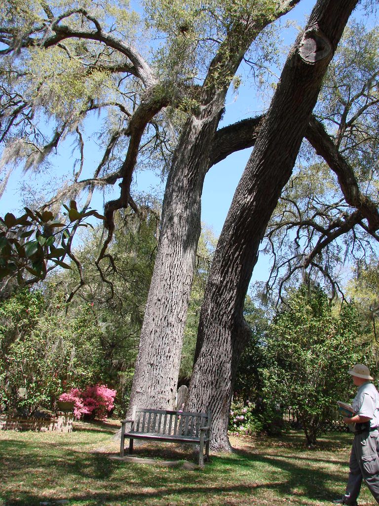
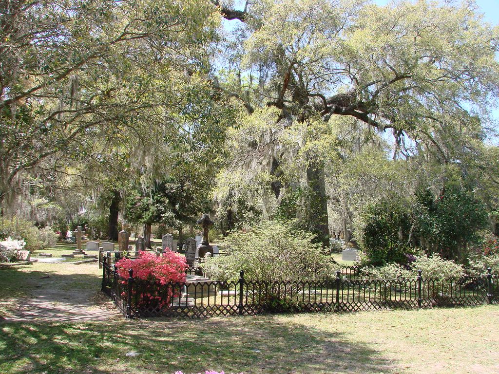
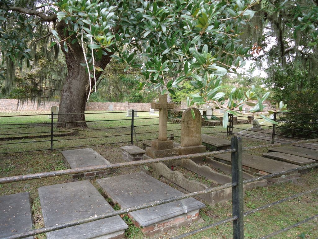
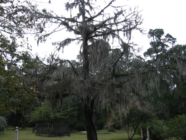
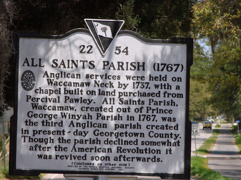
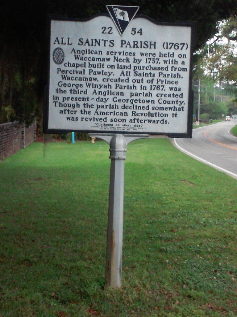
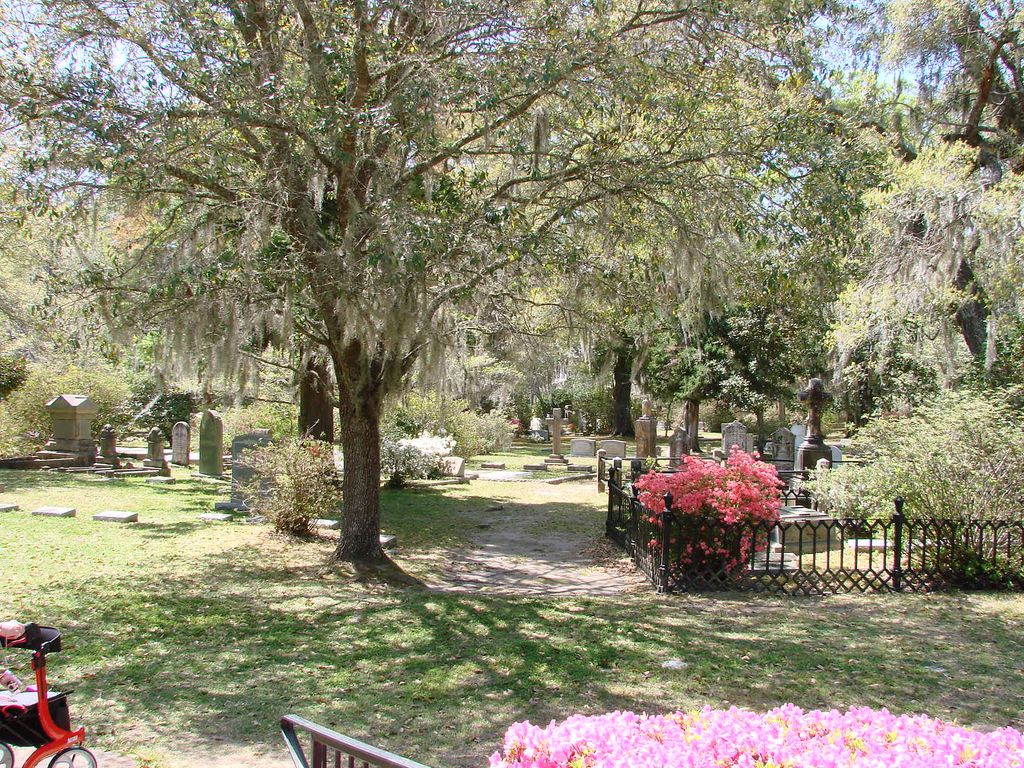
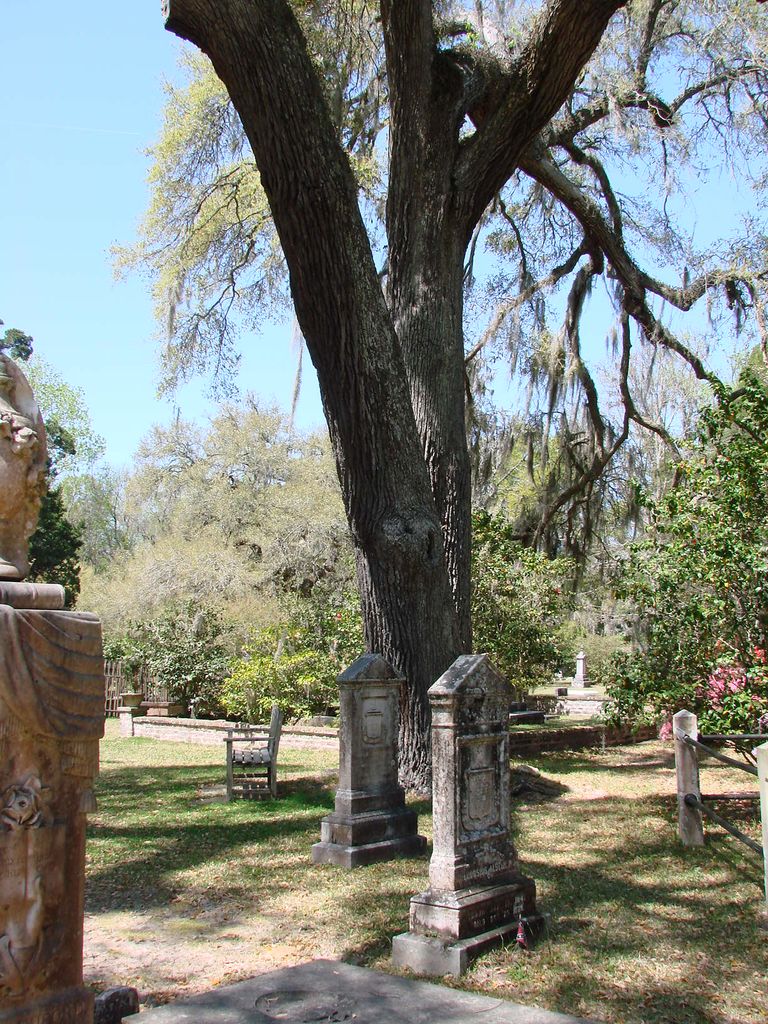
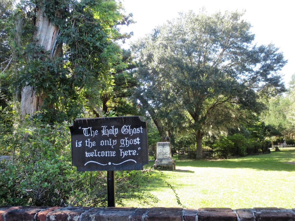
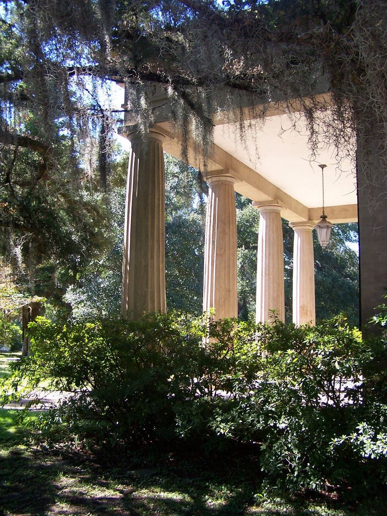
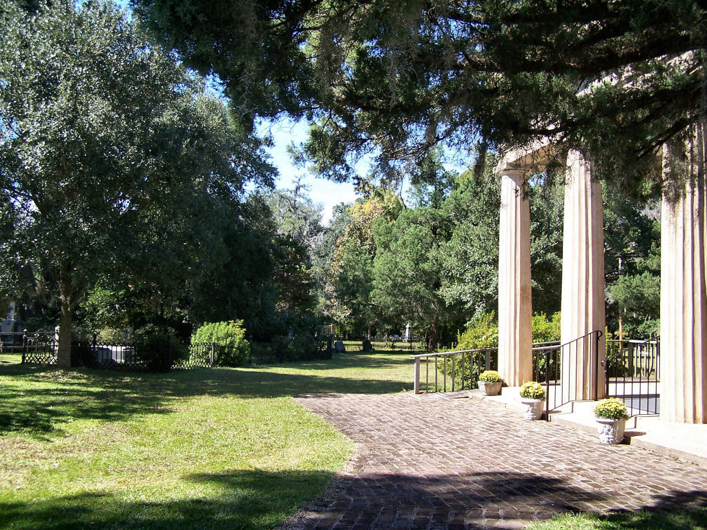
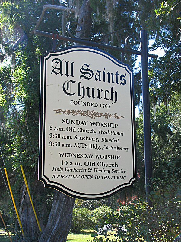
| Description | : | From Georgetown take Church Street to Highway 17 North. Travel approximately 8 miles on Highway 17 North to Kings River Road (on the left). Turn left onto Kings River Road and travel approximately 3.5 miles to All Saints Episcopal Church and Cemetery. The cemetery will be on the left. All Saints’ Episcopal Church was one of the most significant Episcopal churches in the South Carolina lowcountry in the eighteenth and nineteenth centuries. Its first congregation was formed in 1739, and the church has been located at this site since then. Four extant historic resources—the historic sanctuary, cemetery, rectory, and chapel—are significant... Read More |
frequently asked questions (FAQ):
-
Where is All Saints Episcopal Church Cemetery?
All Saints Episcopal Church Cemetery is located at 3560 Kings River Road Pawleys Island, Georgetown County ,South Carolina , 29585USA.
-
All Saints Episcopal Church Cemetery cemetery's updated grave count on graveviews.com?
9 memorials
-
Where are the coordinates of the All Saints Episcopal Church Cemetery?
Latitude: 33.4672012
Longitude: -79.1402969
Nearby Cemetories:
1. Precious Blood of Christ Columbarium
Pawleys Island, Georgetown County, USA
Coordinate: 33.4598550, -79.1404960
2. Mount Zion Missionary Baptist Church Cemetery
Pawleys Island, Georgetown County, USA
Coordinate: 33.4543050, -79.1222850
3. Saint John AME Cemetery
Pawleys Island, Georgetown County, USA
Coordinate: 33.4516411, -79.1252289
4. Ben Horry Cemetery
Fraserville, Georgetown County, USA
Coordinate: 33.4462070, -79.1260830
5. Holy Cross Cemetery
Pawleys Island, Georgetown County, USA
Coordinate: 33.4606410, -79.1117700
6. Pawleys Island Presbyterian Church Churchyard
Pawleys Island, Georgetown County, USA
Coordinate: 33.4362990, -79.1355100
7. Saint Peters Lutheran Church Cemetery
Pawleys Island, Georgetown County, USA
Coordinate: 33.4753200, -79.1030800
8. True Blue Plantation Cemetery
Pawleys Island, Georgetown County, USA
Coordinate: 33.4412994, -79.1746979
9. Shackelford Family Burying Ground
Georgetown, Georgetown County, USA
Coordinate: 33.4260480, -79.1328880
10. Saint Pauls Waccamaw United Methodist Church Colu
Pawleys Island, Georgetown County, USA
Coordinate: 33.4857020, -79.0955760
11. Pawley Burial Plot at Wahacca
Pawleys Island, Georgetown County, USA
Coordinate: 33.4260300, -79.1324800
12. Saint Marys AME Church Cemetery
Pawleys Island, Georgetown County, USA
Coordinate: 33.4241000, -79.1492000
13. Bethel Church Cemetery
Waverly Mills, Georgetown County, USA
Coordinate: 33.4926270, -79.1846680
14. Dirleton Plantation
Plantersville, Georgetown County, USA
Coordinate: 33.4580000, -79.1930000
15. New Bethel AME Cemetery
Jackson, Georgetown County, USA
Coordinate: 33.4928537, -79.1847166
16. Dirleton Plantation Slave Cemetery
Plantersville, Georgetown County, USA
Coordinate: 33.4723500, -79.1980670
17. Oaks Cemetery
Murrells Inlet, Georgetown County, USA
Coordinate: 33.5108300, -79.1127300
18. Belin Cemetery
Belin, Georgetown County, USA
Coordinate: 33.5179460, -79.1436540
19. Prince Frederick Cemetery
Plantersville, Georgetown County, USA
Coordinate: 33.5060000, -79.1800000
20. Providence Missionary Baptist
Georgetown County, USA
Coordinate: 33.4200700, -79.1755300
21. New Bethel Baptist Cemetery Sandy Island
Georgetown County, USA
Coordinate: 33.5259700, -79.1346000
22. Springfield Plantation Slave Cemetery
Murrells Inlet, Georgetown County, USA
Coordinate: 33.5260380, -79.0857380
23. Greater Mount Carmel Baptist Church Cemetery
Gilliard, Georgetown County, USA
Coordinate: 33.5196000, -79.2117330
24. Laurel Hill Plantation Slave Cemetery
Murrells Inlet, Georgetown County, USA
Coordinate: 33.5423390, -79.0868480

