
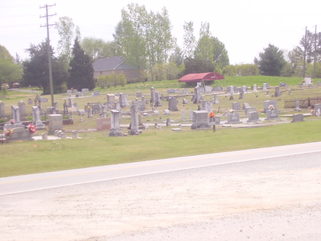
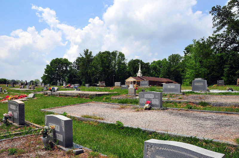
| Memorials | : | 7 |
| Location | : | Martin, Franklin County, USA |
| Coordinate | : | 34.4392014, -83.2641983 |
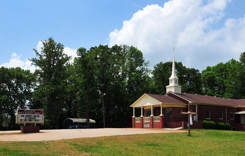
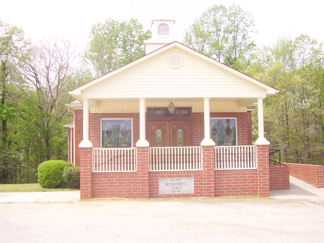
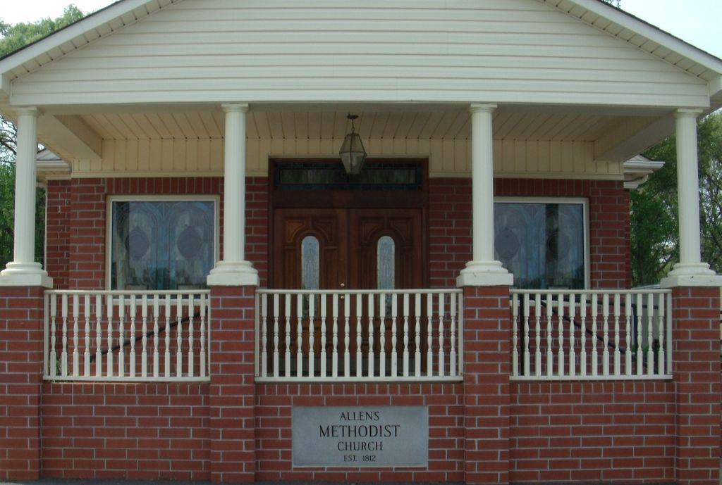
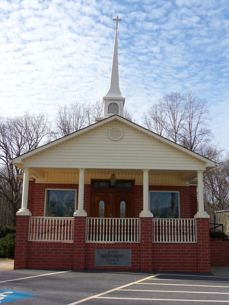
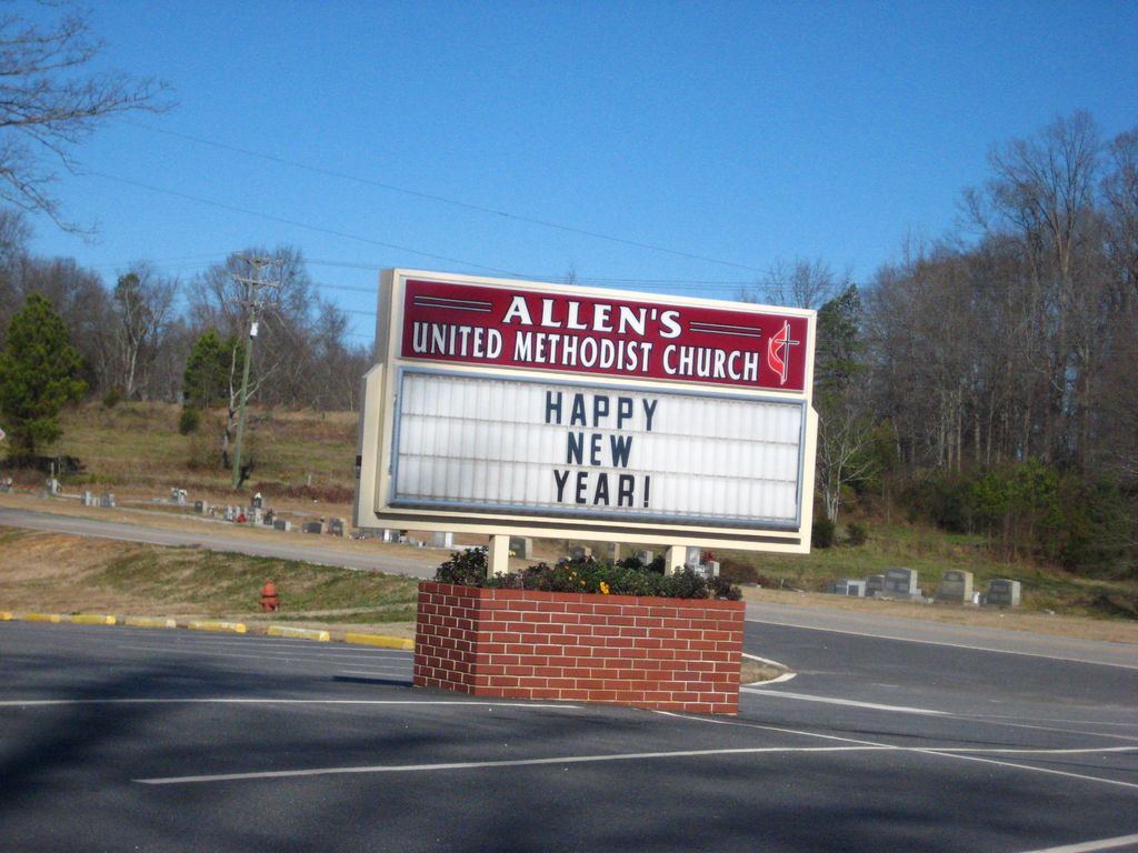
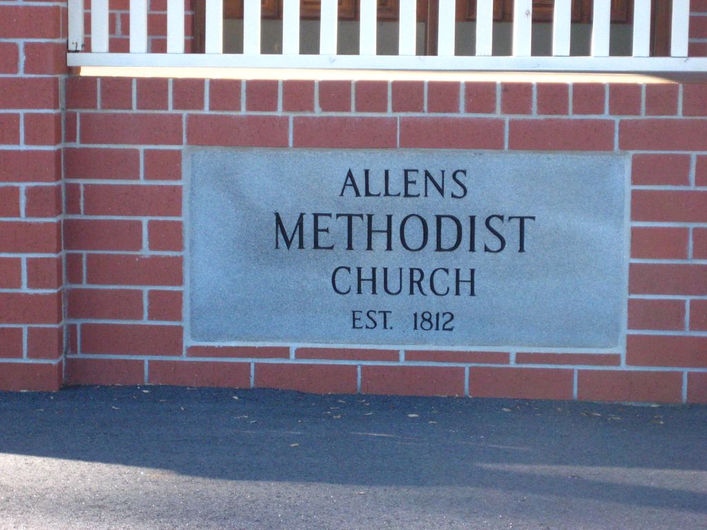
| Description | : | Allens United Methodist Church Located in the Red Hill Section of Franklin County, GA on Highway 106 |
frequently asked questions (FAQ):
-
Where is Allens United Methodist Church Cemetery?
Allens United Methodist Church Cemetery is located at Martin, Franklin County ,Georgia ,USA.
-
Allens United Methodist Church Cemetery cemetery's updated grave count on graveviews.com?
5 memorials
-
Where are the coordinates of the Allens United Methodist Church Cemetery?
Latitude: 34.4392014
Longitude: -83.2641983


Nearby Cemetories:
1. Broad River Church Cemetery
Franklin County, USA
Coordinate: 34.4610610, -83.2704260
2. Ellis Chapel Cemetery
Carnesville, Franklin County, USA
Coordinate: 34.4614907, -83.2871042
3. Hunters Creek Baptist Church Cemetery
Carnesville, Franklin County, USA
Coordinate: 34.4192840, -83.2952770
4. Hopewell Presbyterian Church Cemetery
Carnesville, Franklin County, USA
Coordinate: 34.4110880, -83.2386450
5. Cleveland Grove Holiness Church Cemetery
Carnesville, Franklin County, USA
Coordinate: 34.4137250, -83.3146100
6. Ruhamah Pentacostal Holiness Church Cemetery
Carnesville, Franklin County, USA
Coordinate: 34.3914340, -83.2780650
7. Cash Cemetery #02
Carnesville, Franklin County, USA
Coordinate: 34.4029380, -83.3074540
8. Greater Hope Cemetery
Franklin County, USA
Coordinate: 34.4618180, -83.2075390
9. Clarks Creek Baptist Church Cemetery
Martin, Franklin County, USA
Coordinate: 34.4451942, -83.2011566
10. Payne Cemetery
Franklin County, USA
Coordinate: 34.4322014, -83.3300018
11. Goolsby Family Cemetery
Carnesville, Franklin County, USA
Coordinate: 34.3858670, -83.2794310
12. Bellamy Family Cemetery
Franklin County, USA
Coordinate: 34.3981010, -83.3182110
13. Henson Cemetery
Carnesville, Franklin County, USA
Coordinate: 34.4190050, -83.3335640
14. Payne Cemetery #02
Carnesville, Franklin County, USA
Coordinate: 34.3864590, -83.3082670
15. Zion Hill Cemetery
Carnesville, Franklin County, USA
Coordinate: 34.3803100, -83.2280800
16. New Bethel Cemetery
Carnesville, Franklin County, USA
Coordinate: 34.3941100, -83.3264860
17. Sunshine Cemetery
Franklin County, USA
Coordinate: 34.4702988, -83.3411026
18. Union Grove CME Cemetery
Franklin County, USA
Coordinate: 34.3686380, -83.2519170
19. Carnesville United Methodist Church Cemetery
Carnesville, Franklin County, USA
Coordinate: 34.3714910, -83.2337580
20. Cross Roads Baptist Church Cemetery
Carnesville, Franklin County, USA
Coordinate: 34.3636930, -83.2468410
21. Guest Family Cemetery
Franklin County, USA
Coordinate: 34.4579800, -83.3564600
22. Knox Family Cemetery
Lavonia, Franklin County, USA
Coordinate: 34.4106540, -83.1746380
23. Payne-Culpepper Cemetery
Franklin County, USA
Coordinate: 34.3849983, -83.3371964
24. Fairview Baptist Church Cemetery
Fairview, Franklin County, USA
Coordinate: 34.4112140, -83.1684860