
| Memorials | : | 0 |
| Location | : | Carnesville, Franklin County, USA |
| Coordinate | : | 34.3864590, -83.3082670 |
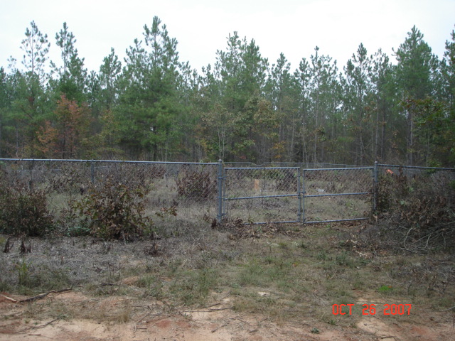
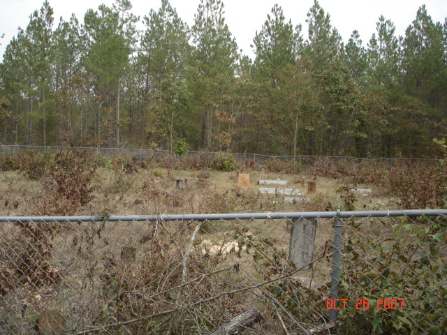
| Description | : | Take GA 320 west of I-85, turn left on Payne Rd.(This is a gravel road) Go past bridge, past first house on right, turn right on 'dirt' road,it's rough so you may need to walk. Go back 2/10 of a mile. You'll see chain link fence on the right with the cemetery within. (Fall of 2007, bridge is out, so you'll need to take 320 to Goolsby Road. Go to the end, this is 198, turn right. Go to Payne Rd., turn right. Go 1.1 mile, dirt road is on your left.) |
frequently asked questions (FAQ):
-
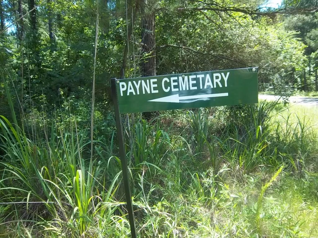
Where is Payne Cemetery #02?
Payne Cemetery #02 is located at Carnesville, Franklin County ,Georgia ,USA.
-
Payne Cemetery #02 cemetery's updated grave count on graveviews.com?
0 memorials
-
Where are the coordinates of the Payne Cemetery #02?
Latitude: 34.3864590
Longitude: -83.3082670
Nearby Cemetories:
1. Bellamy Family Cemetery
Franklin County, USA
Coordinate: 34.3981010, -83.3182110
2. Cash Cemetery #02
Carnesville, Franklin County, USA
Coordinate: 34.4029380, -83.3074540
3. New Bethel Cemetery
Carnesville, Franklin County, USA
Coordinate: 34.3941100, -83.3264860
4. Goolsby Family Cemetery
Carnesville, Franklin County, USA
Coordinate: 34.3858670, -83.2794310
5. Payne-Culpepper Cemetery
Franklin County, USA
Coordinate: 34.3849983, -83.3371964
6. Ruhamah Pentacostal Holiness Church Cemetery
Carnesville, Franklin County, USA
Coordinate: 34.3914340, -83.2780650
7. Cleveland Grove Holiness Church Cemetery
Carnesville, Franklin County, USA
Coordinate: 34.4137250, -83.3146100
8. Mount Zion Methodist Cemetery
Franklin County, USA
Coordinate: 34.3882480, -83.3476070
9. Union Ground Christian Church Cemetery
Franklin County, USA
Coordinate: 34.3892240, -83.3491350
10. Hunters Creek Baptist Church Cemetery
Carnesville, Franklin County, USA
Coordinate: 34.4192840, -83.2952770
11. Norris Cemetery
Franklin County, USA
Coordinate: 34.3734940, -83.3487390
12. Henson Cemetery
Carnesville, Franklin County, USA
Coordinate: 34.4190050, -83.3335640
13. Indian Creek Baptist Church Cemetery
Franklin County, USA
Coordinate: 34.3509720, -83.3350270
14. Payne Cemetery
Franklin County, USA
Coordinate: 34.4322014, -83.3300018
15. Union Grove CME Cemetery
Franklin County, USA
Coordinate: 34.3686380, -83.2519170
16. Bellamy-Brawner-Jones Cemetery
Plainview, Franklin County, USA
Coordinate: 34.3608680, -83.3626700
17. Harber Family Cemetery
Carnesville, Franklin County, USA
Coordinate: 34.3334760, -83.3065940
18. King Branch Baptist Church Cemetery
Franklin County, USA
Coordinate: 34.3917610, -83.3749480
19. Cross Roads Baptist Church Cemetery
Carnesville, Franklin County, USA
Coordinate: 34.3636930, -83.2468410
20. Tucker Family Cemetery
Ashland, Franklin County, USA
Coordinate: 34.3350900, -83.3402250
21. Arendall Family Cemetery
Franklin County, USA
Coordinate: 34.3319950, -83.3433360
22. Strange Family Cemetery
Ashland, Franklin County, USA
Coordinate: 34.3710757, -83.3807366
23. Rocky Branch Cemetery
Carnesville, Franklin County, USA
Coordinate: 34.3351410, -83.2666200
24. Hopewell Presbyterian Church Cemetery
Carnesville, Franklin County, USA
Coordinate: 34.4110880, -83.2386450