
| Memorials | : | 0 |
| Location | : | Carnesville, Franklin County, USA |
| Coordinate | : | 34.3914340, -83.2780650 |
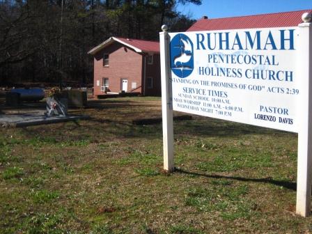
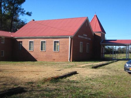
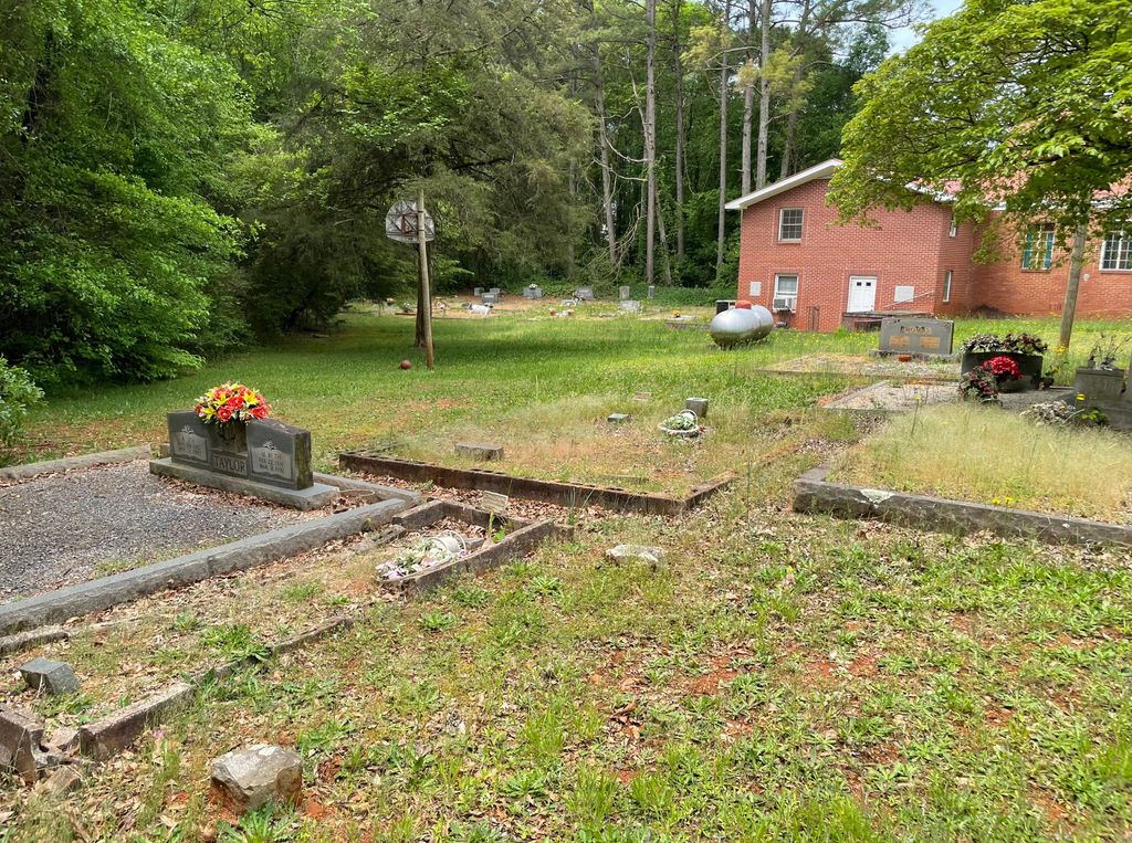
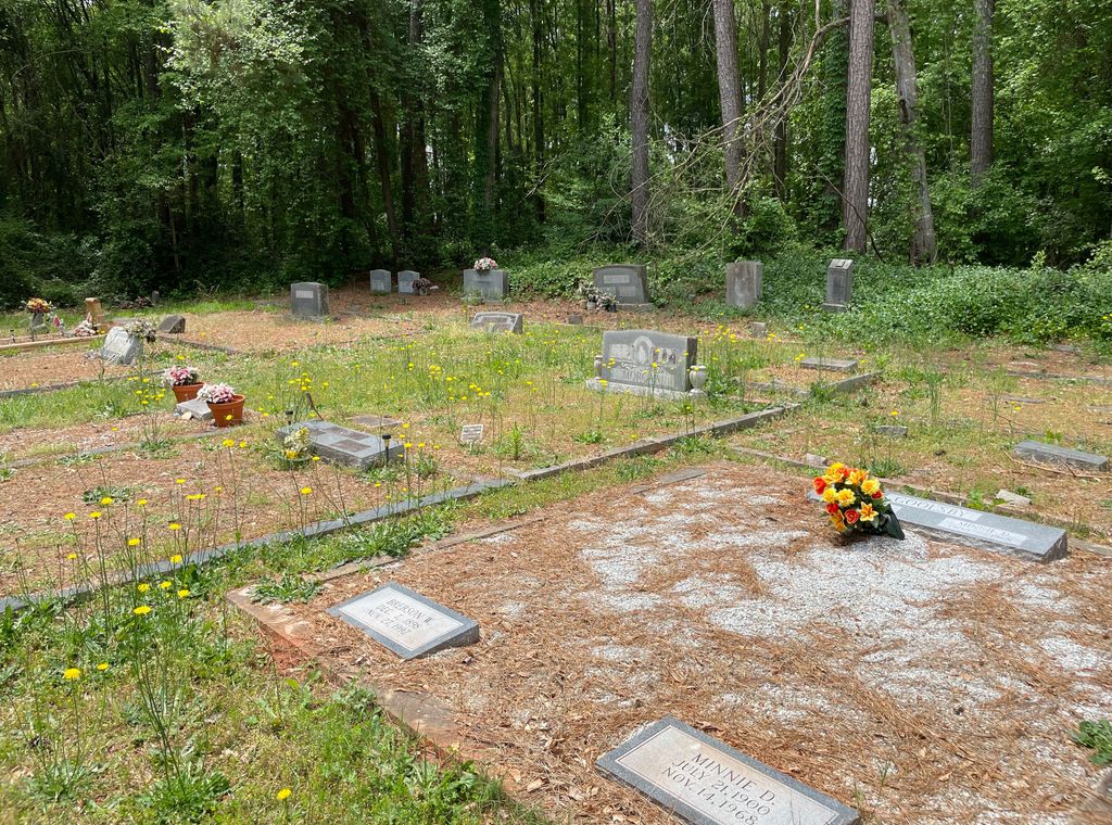
| Description | : | Ruhamah Pentecostal Holiness Church Cemetery is in Franklin County, Georgia. |
frequently asked questions (FAQ):
-
Where is Ruhamah Pentacostal Holiness Church Cemetery?
Ruhamah Pentacostal Holiness Church Cemetery is located at Carnesville, Franklin County ,Georgia ,USA.
-
Ruhamah Pentacostal Holiness Church Cemetery cemetery's updated grave count on graveviews.com?
0 memorials
-
Where are the coordinates of the Ruhamah Pentacostal Holiness Church Cemetery?
Latitude: 34.3914340
Longitude: -83.2780650
Nearby Cemetories:
1. Goolsby Family Cemetery
Carnesville, Franklin County, USA
Coordinate: 34.3858670, -83.2794310
2. Payne Cemetery #02
Carnesville, Franklin County, USA
Coordinate: 34.3864590, -83.3082670
3. Cash Cemetery #02
Carnesville, Franklin County, USA
Coordinate: 34.4029380, -83.3074540
4. Hunters Creek Baptist Church Cemetery
Carnesville, Franklin County, USA
Coordinate: 34.4192840, -83.2952770
5. Union Grove CME Cemetery
Franklin County, USA
Coordinate: 34.3686380, -83.2519170
6. Bellamy Family Cemetery
Franklin County, USA
Coordinate: 34.3981010, -83.3182110
7. Cleveland Grove Holiness Church Cemetery
Carnesville, Franklin County, USA
Coordinate: 34.4137250, -83.3146100
8. Cross Roads Baptist Church Cemetery
Carnesville, Franklin County, USA
Coordinate: 34.3636930, -83.2468410
9. Hopewell Presbyterian Church Cemetery
Carnesville, Franklin County, USA
Coordinate: 34.4110880, -83.2386450
10. New Bethel Cemetery
Carnesville, Franklin County, USA
Coordinate: 34.3941100, -83.3264860
11. Carnesville United Methodist Church Cemetery
Carnesville, Franklin County, USA
Coordinate: 34.3714910, -83.2337580
12. Zion Hill Cemetery
Carnesville, Franklin County, USA
Coordinate: 34.3803100, -83.2280800
13. Allens United Methodist Church Cemetery
Martin, Franklin County, USA
Coordinate: 34.4392014, -83.2641983
14. Payne-Culpepper Cemetery
Franklin County, USA
Coordinate: 34.3849983, -83.3371964
15. Henson Cemetery
Carnesville, Franklin County, USA
Coordinate: 34.4190050, -83.3335640
16. Rocky Branch Cemetery
Carnesville, Franklin County, USA
Coordinate: 34.3351410, -83.2666200
17. Mount Zion Methodist Cemetery
Franklin County, USA
Coordinate: 34.3882480, -83.3476070
18. Union Ground Christian Church Cemetery
Franklin County, USA
Coordinate: 34.3892240, -83.3491350
19. Payne Cemetery
Franklin County, USA
Coordinate: 34.4322014, -83.3300018
20. Norris Cemetery
Franklin County, USA
Coordinate: 34.3734940, -83.3487390
21. Indian Creek Baptist Church Cemetery
Franklin County, USA
Coordinate: 34.3509720, -83.3350270
22. Harber Family Cemetery
Carnesville, Franklin County, USA
Coordinate: 34.3334760, -83.3065940
23. Middle River Cemetery
Carnesville, Franklin County, USA
Coordinate: 34.3274100, -83.2698880
24. Liberty Baptist Church Cemetery
Carnesville, Franklin County, USA
Coordinate: 34.3540010, -83.2076110