
| Memorials | : | 0 |
| Location | : | Rushville, Buchanan County, USA |
| Coordinate | : | 39.5659100, -95.0211900 |
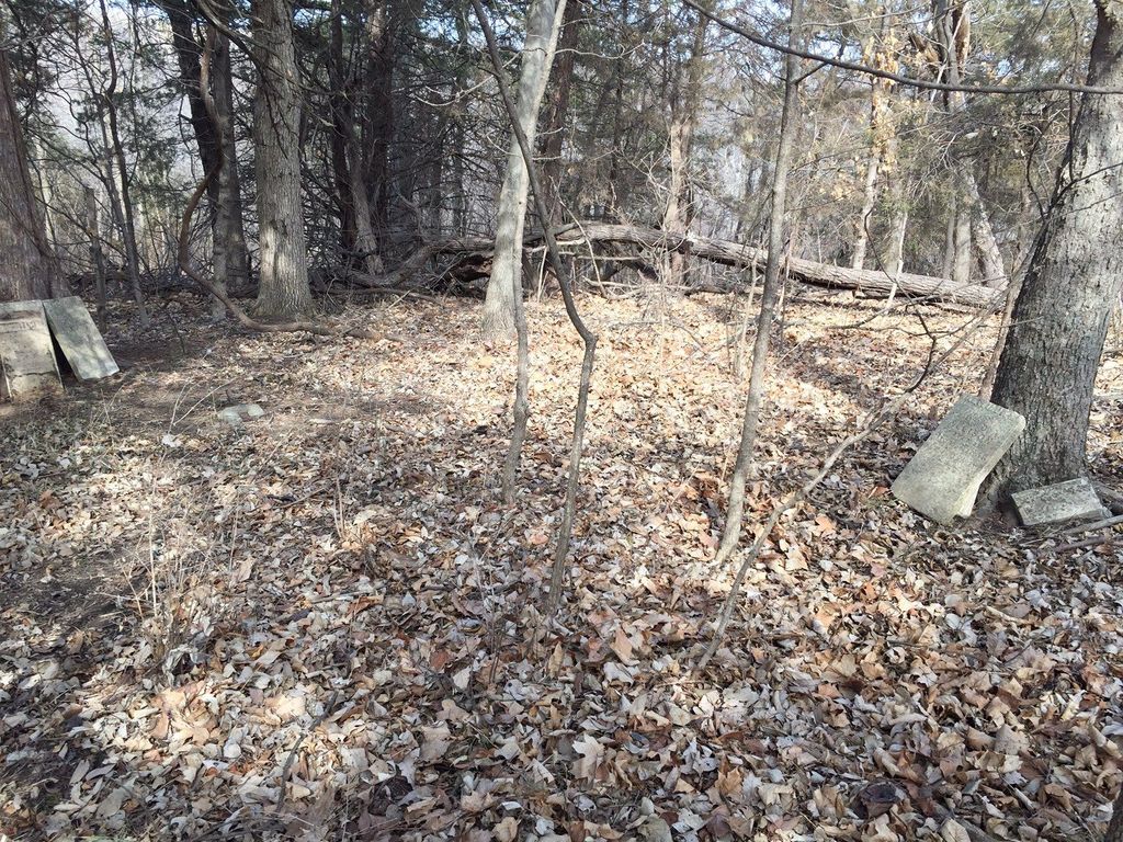
| Description | : | Located 2 miles south of Rushville on east side of Road. John H. Allison and his wife Dicy A. have a memorial stone in Sugar Creek Cemetery. From Harouff Funeral Home records, John H. Allison d. Aug 21 1888, 74y 9m 26d, Brights Disease, buried Allison Farm,from Rushville. From Transcription doneby Betty Degenais in 1950 and 1967. In her notes she states; In 1873(sic 1973) only the spire-shaped marker of husband John Harrison Allison remains. In 1967 an additional five stones could be found. |
frequently asked questions (FAQ):
-
Where is Allison Homestead Graveyard?
Allison Homestead Graveyard is located at Rushville, Buchanan County ,Missouri ,USA.
-
Allison Homestead Graveyard cemetery's updated grave count on graveviews.com?
0 memorials
-
Where are the coordinates of the Allison Homestead Graveyard?
Latitude: 39.5659100
Longitude: -95.0211900
Nearby Cemetories:
1. Cash Cemetery
Rushville, Buchanan County, USA
Coordinate: 39.5702400, -95.0220600
2. Gordon Graveyard
Rushville, Buchanan County, USA
Coordinate: 39.5607400, -95.0352900
3. Elliott Cemetery
Buchanan County, USA
Coordinate: 39.5582200, -95.0079900
4. Hudspeth Cemetery
Rushville, Buchanan County, USA
Coordinate: 39.5682100, -95.0400000
5. Schmidt Graves
Rushville, Buchanan County, USA
Coordinate: 39.5616330, -95.0416950
6. Sugar Creek Cemetery
Rushville, Buchanan County, USA
Coordinate: 39.5569470, -95.0016120
7. Gore Cemetery
Buchanan County, USA
Coordinate: 39.5489006, -95.0147018
8. Fist Cemetery
Buchanan County, USA
Coordinate: 39.5763000, -95.0014000
9. Brown Cemetery
Rushville, Buchanan County, USA
Coordinate: 39.5606500, -94.9935300
10. Dicksen Cemetery
Rushville, Buchanan County, USA
Coordinate: 39.5889100, -95.0220400
11. Black Family Cemetery
Rushville, Buchanan County, USA
Coordinate: 39.5773500, -94.9898400
12. Armstrong Cemetery
Rushville, Buchanan County, USA
Coordinate: 39.5960999, -95.0083008
13. Connor Cemetery
Buchanan County, USA
Coordinate: 39.5634000, -94.9778000
14. Daniel Jones Cemetery
Rushville, Buchanan County, USA
Coordinate: 39.5852318, -94.9851913
15. Fenton Grave
Buchanan County, USA
Coordinate: 39.5923700, -94.9844900
16. Hutson Cemetery
Platte County, USA
Coordinate: 39.5297500, -95.0000700
17. Foley Cemetery
Sugar Lake, Buchanan County, USA
Coordinate: 39.5333000, -94.9905800
18. Coleman Cemetery
Platte County, USA
Coordinate: 39.5241200, -95.0180500
19. Blythe Family Cemetery
Platte County, USA
Coordinate: 39.5226500, -94.9832800
20. Bean Family Cemetery
Bean Lake Station, Platte County, USA
Coordinate: 39.5108200, -95.0100900
21. Bellis Cemetery
Platte County, USA
Coordinate: 39.5142400, -94.9933800
22. Conard Memorial Park
Bean Lake Station, Platte County, USA
Coordinate: 39.5089637, -95.0088959
23. Dunlap Cemetery
Mock Corner, Buchanan County, USA
Coordinate: 39.5473500, -94.9446500
24. Brumley Cemetery
De Kalb, Buchanan County, USA
Coordinate: 39.5585000, -94.9398000