
| Memorials | : | 2 |
| Location | : | Rushville, Buchanan County, USA |
| Coordinate | : | 39.5682100, -95.0400000 |
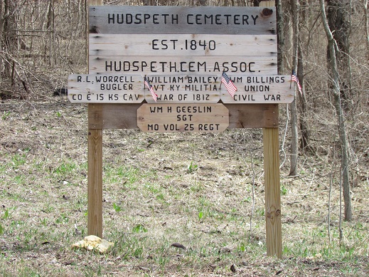
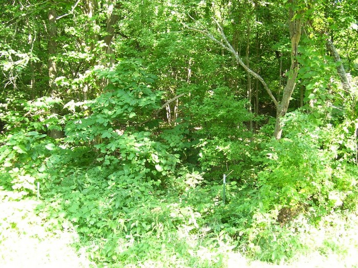
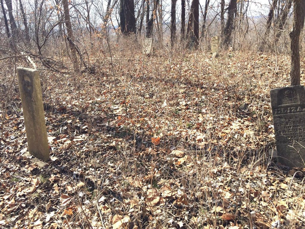
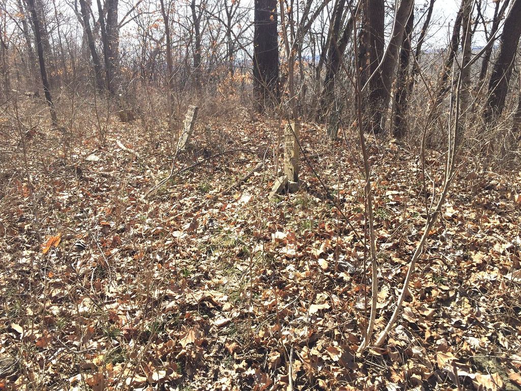
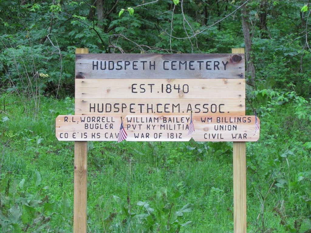
| Description | : | Location; Hudspeth/Hedgespeth Cemetery is located about a mile south of the City of Rushville, MO on the Old Highway Road. Or at the intersection of 59 Hwy and 45 Hwy in Rushville, cross over railroad tracks and go left about ¼ mile. The cemetery marked by a sign on the bluff side of the road, it is accessible by parking on the road and going over a wire fence. Condition; The terrain consist of over grown trees and weeds. The location is on the side of the bluff. It is a steep climb to reach the top, broken up by... Read More |
frequently asked questions (FAQ):
-
Where is Hudspeth Cemetery?
Hudspeth Cemetery is located at Old Highway Rushville, Buchanan County ,Missouri , 64484USA.
-
Hudspeth Cemetery cemetery's updated grave count on graveviews.com?
2 memorials
-
Where are the coordinates of the Hudspeth Cemetery?
Latitude: 39.5682100
Longitude: -95.0400000
Nearby Cemetories:
1. Schmidt Graves
Rushville, Buchanan County, USA
Coordinate: 39.5616330, -95.0416950
2. Gordon Graveyard
Rushville, Buchanan County, USA
Coordinate: 39.5607400, -95.0352900
3. Cash Cemetery
Rushville, Buchanan County, USA
Coordinate: 39.5702400, -95.0220600
4. Allison Homestead Graveyard
Rushville, Buchanan County, USA
Coordinate: 39.5659100, -95.0211900
5. Dicksen Cemetery
Rushville, Buchanan County, USA
Coordinate: 39.5889100, -95.0220400
6. Elliott Cemetery
Buchanan County, USA
Coordinate: 39.5582200, -95.0079900
7. Gore Cemetery
Buchanan County, USA
Coordinate: 39.5489006, -95.0147018
8. Fist Cemetery
Buchanan County, USA
Coordinate: 39.5763000, -95.0014000
9. Sugar Creek Cemetery
Rushville, Buchanan County, USA
Coordinate: 39.5569470, -95.0016120
10. Brown Cemetery
Rushville, Buchanan County, USA
Coordinate: 39.5606500, -94.9935300
11. Armstrong Cemetery
Rushville, Buchanan County, USA
Coordinate: 39.5960999, -95.0083008
12. Black Family Cemetery
Rushville, Buchanan County, USA
Coordinate: 39.5773500, -94.9898400
13. Daniel Jones Cemetery
Rushville, Buchanan County, USA
Coordinate: 39.5852318, -94.9851913
14. Coleman Cemetery
Platte County, USA
Coordinate: 39.5241200, -95.0180500
15. Connor Cemetery
Buchanan County, USA
Coordinate: 39.5634000, -94.9778000
16. Fenton Grave
Buchanan County, USA
Coordinate: 39.5923700, -94.9844900
17. Hutson Cemetery
Platte County, USA
Coordinate: 39.5297500, -95.0000700
18. Foley Cemetery
Sugar Lake, Buchanan County, USA
Coordinate: 39.5333000, -94.9905800
19. Taylor Cemetery
Atchison, Atchison County, USA
Coordinate: 39.5867200, -95.1055400
20. Saint Benedicts Abbey Cemetery
Atchison, Atchison County, USA
Coordinate: 39.5770645, -95.1098862
21. Orphans Home Cemetery
Atchison, Atchison County, USA
Coordinate: 39.5934906, -95.1105728
22. Trinity Episcopal Church Memorial Garden
Atchison, Atchison County, USA
Coordinate: 39.5593910, -95.1187363
23. Bean Family Cemetery
Bean Lake Station, Platte County, USA
Coordinate: 39.5108200, -95.0100900
24. Blythe Family Cemetery
Platte County, USA
Coordinate: 39.5226500, -94.9832800