
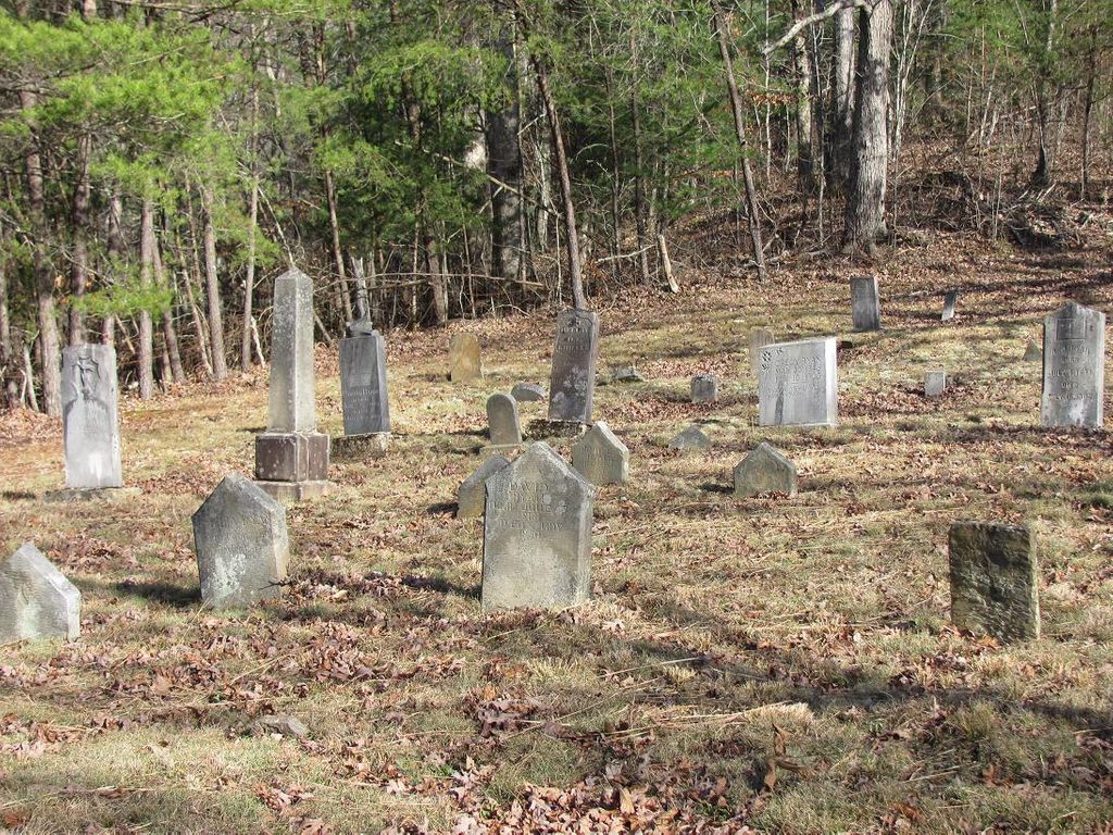
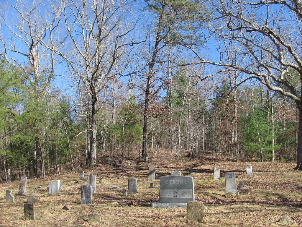
| Memorials | : | 0 |
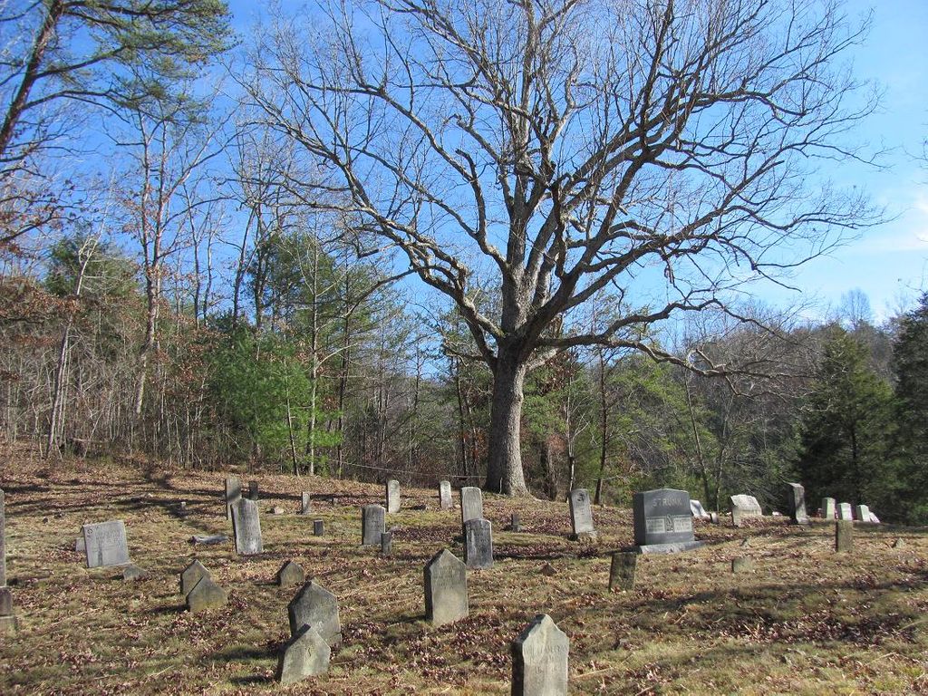
| Location | : | Pine Knot, McCreary County, USA |
| Coordinate | : | 36.6030998, -84.3977966 |
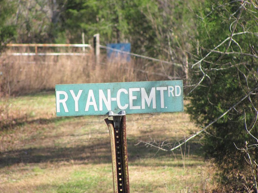
| Description | : | Nearby town is Pine Knot. Directions From Cemetery Book: Take Ky 92 East from Pine Knot. At 4.9 miles turn South and West on Ky 592. Go 1 mile to Ky 1470. Go South past Upper Marsh Creek Church, 2.4 miles to Marsh Creek Road. Continue South approx. 1.5 miles. Cross Marsh Creek to the East.The cemetery is on a hill. Winfield Quadrangle. The book also says it is about .5 Miles from the Ky/TN State line. |
frequently asked questions (FAQ):
-
Where is Ryan Cemetery?
Ryan Cemetery is located at Pine Knot, McCreary County ,Kentucky ,USA.
-
Ryan Cemetery cemetery's updated grave count on graveviews.com?
0 memorials
-
Where are the coordinates of the Ryan Cemetery?
Latitude: 36.6030998
Longitude: -84.3977966
Nearby Cemetories:
1. Jones Cemetery
Silerville, McCreary County, USA
Coordinate: 36.6161003, -84.4143982
2. Duncan Cemetery
Scott County, USA
Coordinate: 36.5736008, -84.4085999
3. Duncan Cemetery
Helenwood, Scott County, USA
Coordinate: 36.5732994, -84.4083023
4. Anderson Cemetery
Pine Knot, McCreary County, USA
Coordinate: 36.6186110, -84.4352780
5. Hayes Creek Cemetery
Creekmore, McCreary County, USA
Coordinate: 36.6197014, -84.3591995
6. Holt Cemetery
McCreary County, USA
Coordinate: 36.6088982, -84.3507996
7. Neal Cemetery
McCreary County, USA
Coordinate: 36.6405020, -84.3827090
8. Cat Hill Cemetery
Pine Knot, McCreary County, USA
Coordinate: 36.6472015, -84.3914032
9. Lower Cal Hill Cemetery
Pine Knot, McCreary County, USA
Coordinate: 36.6471800, -84.3909770
10. Upper Cal Hill Cemetery
Pine Knot, McCreary County, USA
Coordinate: 36.6495590, -84.4008450
11. Davis Cemetery
Pine Knot, McCreary County, USA
Coordinate: 36.6444440, -84.3683330
12. Josh Wilson Cemetery
McCreary County, USA
Coordinate: 36.6265678, -84.4596939
13. Alexander Cemetery
Pine Knot, McCreary County, USA
Coordinate: 36.6461110, -84.4405560
14. Kidd Cemetery
Pine Knot, McCreary County, USA
Coordinate: 36.6535960, -84.4295460
15. Moore Family Cemetery
Pine Knot, McCreary County, USA
Coordinate: 36.6648100, -84.3884400
16. Rock Creek Cemetery
McCreary County, USA
Coordinate: 36.6060982, -84.3189011
17. Musgrove Cemetery
Pine Knot, McCreary County, USA
Coordinate: 36.6641502, -84.4223785
18. Burl King Cemetery
Pine Knot, McCreary County, USA
Coordinate: 36.6447200, -84.4595800
19. Davis Hill-William Ball Family
Pine Knot, McCreary County, USA
Coordinate: 36.6631260, -84.3656470
20. East Pine Knot Memorial Gardens
Pine Knot, McCreary County, USA
Coordinate: 36.6687700, -84.3972450
21. Wood Cemetery
Pine Knot, McCreary County, USA
Coordinate: 36.6688100, -84.3972390
22. Chitwood Cemetery
Pine Knot, McCreary County, USA
Coordinate: 36.6691370, -84.3979970
23. Crabtree Cemetery
Revelo, McCreary County, USA
Coordinate: 36.6658330, -84.4338890
24. Stephens Cemetery
Pine Knot, McCreary County, USA
Coordinate: 36.6731811, -84.4061634