
| Memorials | : | 12 |
| Location | : | Alum Springs, Boyle County, USA |
| Coordinate | : | 37.5697200, -84.8570600 |
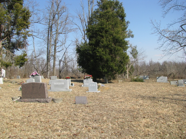
| Description | : | From KY 300, Alum Springs Road, turn south on Persimmon Knob Road in Alum Springs; then turn onto Cream Ridge Road which runs between Persimmon Knob Road and Burger Knob Road. This cemetery is on Cream Ridge Road, and is frequently called "Cream Ridge Cemetery" or the "(Old) Mount Freedom Cemetery." Records for this cemetery are found in the book Boyle County, Kentucky, Cemetery Records, 1792-1992, compiled by the Boyle County Genealogical Association, 1992, revised and enlarged 2008. Stones were photographed 8 March 2010 by Michael J Denis. Several were unreadable, but may be discerned based on inscriptions in the... Read More |
frequently asked questions (FAQ):
-
Where is Old Mount Freeman Cemetery?
Old Mount Freeman Cemetery is located at Alum Springs, Boyle County ,Kentucky ,USA.
-
Old Mount Freeman Cemetery cemetery's updated grave count on graveviews.com?
10 memorials
-
Where are the coordinates of the Old Mount Freeman Cemetery?
Latitude: 37.5697200
Longitude: -84.8570600
Nearby Cemetories:
1. McDonald Center Church Cemetery
Junction City, Boyle County, USA
Coordinate: 37.5835900, -84.8623400
2. Clemmons Cemetery
Alum Springs, Boyle County, USA
Coordinate: 37.5830180, -84.8662090
3. Wilson Cemetery #4
Boyle County, USA
Coordinate: 37.5628014, -84.8807983
4. Saint Francis Cemetery
Junction City, Boyle County, USA
Coordinate: 37.5476750, -84.8591952
5. Jones Cemetery
Alum Springs, Boyle County, USA
Coordinate: 37.5882550, -84.8399880
6. Zion Hill AME Church Cemetery
Alum Springs, Boyle County, USA
Coordinate: 37.5897680, -84.8429600
7. Germantown-Saint Patrick Cemetery
Junction City, Boyle County, USA
Coordinate: 37.5460850, -84.8581410
8. Clems Chapel
Alum Springs, Boyle County, USA
Coordinate: 37.5938900, -84.8667900
9. May Cemetery #01
Wilsonville, Boyle County, USA
Coordinate: 37.5963180, -84.8662250
10. Kennedy Cemetery
Parksville, Boyle County, USA
Coordinate: 37.5978700, -84.8604700
11. Wilsonville Chapel AME Church Cemetery
Wilsonville, Boyle County, USA
Coordinate: 37.5940400, -84.8780700
12. Andrews Graveyard
Wilsonville, Boyle County, USA
Coordinate: 37.5951291, -84.8787390
13. Carrier Cemetery
Parksville, Boyle County, USA
Coordinate: 37.5953100, -84.8898000
14. Gray Cemetery
Alum Springs, Boyle County, USA
Coordinate: 37.6041000, -84.8364000
15. Caldwell Cemetery #02
Boyle County, USA
Coordinate: 37.6029440, -84.8328210
16. Wilson Cemetery #5
Junction City, Boyle County, USA
Coordinate: 37.5755630, -84.8091420
17. Parksville Cemetery
Parksville, Boyle County, USA
Coordinate: 37.5980500, -84.8907400
18. Chestnut Grove Church Cemetery
Parksville, Boyle County, USA
Coordinate: 37.5747871, -84.9058609
19. Moore Cemetery
Parksville, Boyle County, USA
Coordinate: 37.6110530, -84.8636770
20. Old Parksville Cemetery
Parksville, Boyle County, USA
Coordinate: 37.6112060, -84.8633340
21. Worldstown Cemetery
Junction City, Boyle County, USA
Coordinate: 37.5856200, -84.8069600
22. Strevell Cemetery
Mitchellsburg, Boyle County, USA
Coordinate: 37.5859420, -84.9087810
23. Benedict Cemetery
Lincoln County, USA
Coordinate: 37.5341988, -84.8230972
24. Wilson Station Cemetery
Alum Springs, Boyle County, USA
Coordinate: 37.6033859, -84.8193054