
| Memorials | : | 55 |
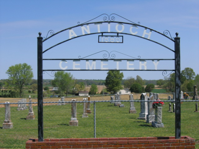
| Location | : | Friendship, Crockett County, USA |
| Coordinate | : | 35.8581090, -89.2577800 |
| Description | : | From the intersection of Chestnut Bluff Rd. & US-412/TN-20, at Friendship, travel west onto Chestnut Bluff Rd. for 0.5 mi.; turning south (left) onto Mt. Moriah Rd., going 1.5 mi.; turning south (right) onto East Rd., going 1.4 mi.; turning west (right) onto Old Mounds Rd., going 0.2 mi.; turning south (left) onto Antioch Rd., going 0.4 mi. to entrance driveway of this 'deeded' cemetery on the north (right) side of the road, as notated on USGS topo maps. |
frequently asked questions (FAQ):
-
Where is Antioch Cemetery?
Antioch Cemetery is located at 708 Antioch Road Friendship, Crockett County ,Tennessee , 38034USA.
-
Antioch Cemetery cemetery's updated grave count on graveviews.com?
55 memorials
-
Where are the coordinates of the Antioch Cemetery?
Latitude: 35.8581090
Longitude: -89.2577800
Nearby Cemetories:
1. Browder Family Cemetery
Broadview, Crockett County, USA
Coordinate: 35.8646890, -89.2623010
2. Scarborough Cemetery
Broadview, Crockett County, USA
Coordinate: 35.8432570, -89.2546330
3. Floyds Chapel Cemetery
Broadview, Crockett County, USA
Coordinate: 35.8403860, -89.2592840
4. Riddick Cemetery #2
Crockett County, USA
Coordinate: 35.8347200, -89.2718080
5. Siloam Cemetery
Dog Hill, Crockett County, USA
Coordinate: 35.8398940, -89.2832260
6. Robertson-Warren Cemetery
Friendship, Crockett County, USA
Coordinate: 35.8830700, -89.2427200
7. Riddick Cemetery #1
Maury City, Crockett County, USA
Coordinate: 35.8298200, -89.2429960
8. Mount Moriah Cemetery
Friendship, Crockett County, USA
Coordinate: 35.8955420, -89.2576300
9. Lebanon United Methodist Church Cemetery
Friendship, Crockett County, USA
Coordinate: 35.8450880, -89.3062070
10. Glenn Cemetery
Crockett County, USA
Coordinate: 35.8509390, -89.3087660
11. Perry Cemetery
Maury Junction, Crockett County, USA
Coordinate: 35.8675600, -89.2051410
12. Carter Cemetery
Chestnut Bluff, Crockett County, USA
Coordinate: 35.8500090, -89.3122250
13. Dean Cemetery
Frog Jump, Crockett County, USA
Coordinate: 35.8162630, -89.2778440
14. Old Dyer Church Cemetery
Friendship, Crockett County, USA
Coordinate: 35.8844600, -89.2101900
15. Beasley-Albritton Cemetery
Chestnut Bluff, Crockett County, USA
Coordinate: 35.8584710, -89.3160610
16. Bucks Chapel Church Cemetery
Frog Jump, Crockett County, USA
Coordinate: 35.8126320, -89.2813750
17. New Cemetery
Maury City, Crockett County, USA
Coordinate: 35.8329850, -89.2048090
18. South Fork Cemetery
Chestnut Bluff, Crockett County, USA
Coordinate: 35.8646420, -89.3206200
19. Nunn Cemetery
Maury City, Crockett County, USA
Coordinate: 35.8282660, -89.2062360
20. Maury City Cemetery
Maury City, Crockett County, USA
Coordinate: 35.8174680, -89.2178350
21. Hudson Grove Church Cemetery
Crockett Mills, Crockett County, USA
Coordinate: 35.8713410, -89.1956910
22. Nunn Cemetery
Maury City, Crockett County, USA
Coordinate: 35.8257020, -89.2068300
23. Rucker Cemetery
Maury City, Crockett County, USA
Coordinate: 35.8054790, -89.2473390
24. Bellevernon Cemetery
Friendship, Crockett County, USA
Coordinate: 35.9135830, -89.2495910