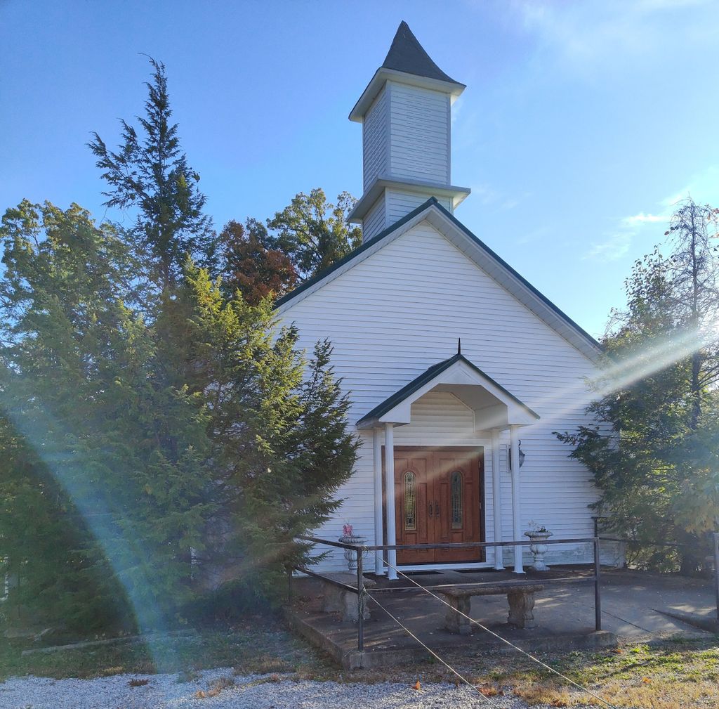
| Memorials | : | 0 |
| Location | : | Franklin Township, Floyd County, USA |
| Coordinate | : | 38.2061005, -85.9289017 |
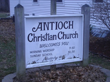
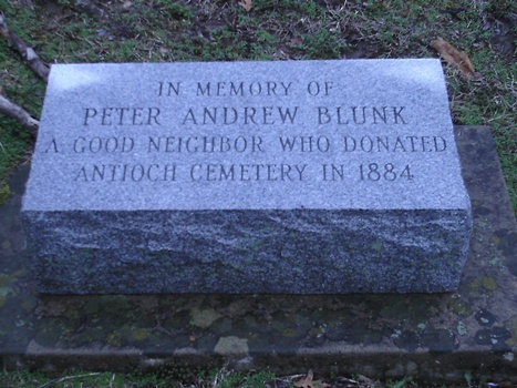
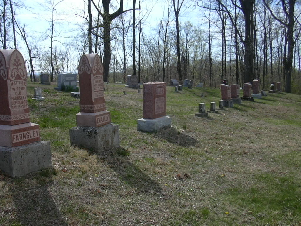
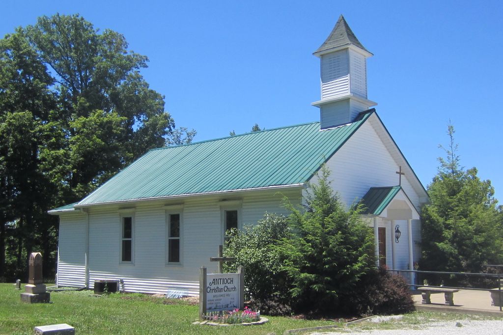
| Description | : | The cemetery is located on the east side of N Indiana State Highway 11 SE about 0.2 miles south of its intersection with Blunk Knob Road and about 1.6 miles north of the Floyd County – Harrison County line. Indiana Cemetery Locations, Volume 4, published by the Indiana Genealogical Society (April 2009), gives the primary cemetery name as Antioch Cemetery. The cemetery is listed in the Cemetery and Burial Grounds Registry of the Indiana Department of Natural Resources (DNR) and in the State Historical Architectural and Archaeological Research Database (SHAARD) with Cemetery Record Number CR-22-1 (Antioch). The Indiana... Read More |
frequently asked questions (FAQ):
-
Where is Antioch Cemetery?
Antioch Cemetery is located at 5502 N Indiana State Highway 11 SE Franklin Township, Floyd County ,Indiana , 47117USA.
-
Antioch Cemetery cemetery's updated grave count on graveviews.com?
0 memorials
-
Where are the coordinates of the Antioch Cemetery?
Latitude: 38.2061005
Longitude: -85.9289017
Nearby Cemetories:
1. Williams Cemetery
Franklin Township, Floyd County, USA
Coordinate: 38.2115000, -85.9239000
2. Blunk Knobs Cemetery
Edwardsville, Floyd County, USA
Coordinate: 38.2078000, -85.9156000
3. Finley Cemetery
Buchanan, Floyd County, USA
Coordinate: 38.2017000, -85.9469000
4. Hopewell Cemetery
Franklin Township, Floyd County, USA
Coordinate: 38.2066994, -85.9503021
5. Captain McHarry Tomb
Franklin Township, Floyd County, USA
Coordinate: 38.1938000, -85.9044000
6. Brian Cemetery
Franklin Township, Floyd County, USA
Coordinate: 38.1868964, -85.9093043
7. Silas Daily Cemetery
New Albany, Floyd County, USA
Coordinate: 38.2228000, -85.9030000
8. Heistand Cemetery
Harrison County, USA
Coordinate: 38.1796989, -85.9452972
9. Mount Zion United Methodist Church Cemetery
Edwardsville, Floyd County, USA
Coordinate: 38.2363014, -85.9326019
10. Tabler Cemetery
Harrison County, USA
Coordinate: 38.1788600, -85.9499900
11. Daily Cemetery
New Albany, Floyd County, USA
Coordinate: 38.2196000, -85.8916000
12. Gunn Cemetery
New Albany, Floyd County, USA
Coordinate: 38.2389000, -85.9337000
13. Davis Family Cemetery
Floyd County, USA
Coordinate: 38.2261000, -85.8942000
14. Zollman Family Cemetery
Lanesville, Harrison County, USA
Coordinate: 38.1933150, -85.9700020
15. Native American Cemetery
Posey Township, Harrison County, USA
Coordinate: 38.1781170, -85.9025830
16. Saint Johns Lutheran Church Cemetery
Lanesville, Harrison County, USA
Coordinate: 38.2205887, -85.9698715
17. Bailey Cemetery
Franklin Township, Floyd County, USA
Coordinate: 38.2153015, -85.8814011
18. Bailey Cemetery
New Albany, Floyd County, USA
Coordinate: 38.2153000, -85.8814000
19. Williams Cemetery
Lanesville, Harrison County, USA
Coordinate: 38.1877000, -85.9731000
20. Lieber Cemetery
Lanesville, Harrison County, USA
Coordinate: 38.1962010, -85.9808440
21. Reinhardt Cemetery
Lanesville, Harrison County, USA
Coordinate: 38.2155658, -85.9809906
22. Unidentified Cemetery
Posey Township, Harrison County, USA
Coordinate: 38.1647270, -85.9400500
23. River Valley Cemetery
Louisville, Jefferson County, USA
Coordinate: 38.1758270, -85.8913269
24. Old Union Cemetery
Lanesville, Harrison County, USA
Coordinate: 38.1686860, -85.9600810

