| Memorials | : | 9 |
| Location | : | Rome, Daviess County, USA |
| Coordinate | : | 37.7227800, -87.1815980 |
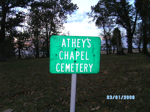
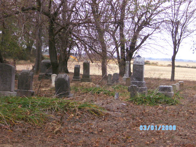
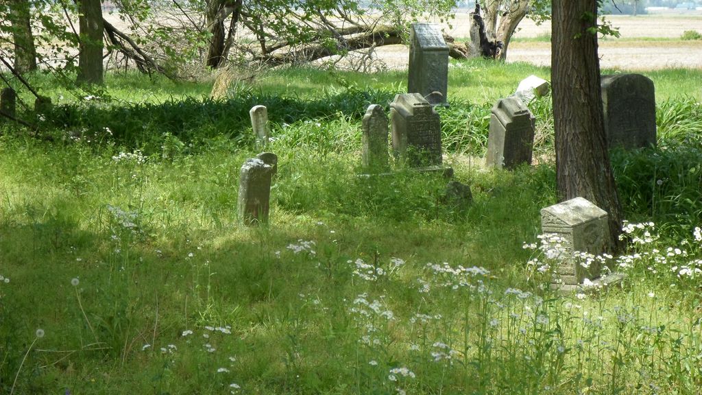
| Description | : | Cemetery is in very poor condition with many busted stones and weed overgrowth |
frequently asked questions (FAQ):
-
Where is Atheys Chapel Cemetery?
Atheys Chapel Cemetery is located at Calhoun Road Rome, Daviess County ,Kentucky , 42301USA.
-
Atheys Chapel Cemetery cemetery's updated grave count on graveviews.com?
9 memorials
-
Where are the coordinates of the Atheys Chapel Cemetery?
Latitude: 37.7227800
Longitude: -87.1815980
Nearby Cemetories:
1. Harold Cemetery
Sorgho, Daviess County, USA
Coordinate: 37.7473602, -87.1791942
2. Barbour Cemetery
Owensboro, Daviess County, USA
Coordinate: 37.7485000, -87.1730160
3. Pleasant Grove Baptist Church Cemetery
Sorgho, Daviess County, USA
Coordinate: 37.7552300, -87.2037700
4. Worthington Family Cemetery
Daviess County, USA
Coordinate: 37.7611480, -87.1728200
5. Crabtree Cemetery
Sorgho, Daviess County, USA
Coordinate: 37.7560000, -87.2120000
6. Sands Cemetery
Daviess County, USA
Coordinate: 37.7651960, -87.1794200
7. Bosley Family Cemetery
Owensboro, Daviess County, USA
Coordinate: 37.7547900, -87.1314700
8. Saint Raphael Original Log Church and Cemetery
West Louisville, Daviess County, USA
Coordinate: 37.7009600, -87.2442900
9. Mater Dolorosa Cemetery
Owensboro, Daviess County, USA
Coordinate: 37.7628600, -87.1330200
10. Saint Raphael Cemetery
West Louisville, Daviess County, USA
Coordinate: 37.7033900, -87.2489000
11. Trinity Episcopal Columbarium
Owensboro, Daviess County, USA
Coordinate: 37.7545630, -87.1184650
12. Saint Mary Magdalene Catholic Cemetery
Sorgho, Daviess County, USA
Coordinate: 37.7503050, -87.2487870
13. Fern Hill Cemetery
Owensboro, Daviess County, USA
Coordinate: 37.7835999, -87.1872025
14. Early Settler Cemetery
Owensboro, Daviess County, USA
Coordinate: 37.7671400, -87.1202600
15. Sorgho Baptist Church Cemetery
Sorgho, Daviess County, USA
Coordinate: 37.7552700, -87.2588600
16. Lancaster Cemetery
Owensboro, Daviess County, USA
Coordinate: 37.7921400, -87.2015000
17. Mount Zion Methodist Episcopal Church Cemetery
Panther, Daviess County, USA
Coordinate: 37.6638700, -87.2325500
18. Hitchcock Family Cemetery
Sorgho, Daviess County, USA
Coordinate: 37.7423261, -87.2686245
19. Nickel Ridge Cemetery
Panther, Daviess County, USA
Coordinate: 37.6505400, -87.2037100
20. Rosehill Elmwood Cemetery
Owensboro, Daviess County, USA
Coordinate: 37.7543983, -87.0942001
21. Hix Cemetery
Sutherland, Daviess County, USA
Coordinate: 37.6716580, -87.1088040
22. Hix Cemetery
Pettit, Daviess County, USA
Coordinate: 37.6716995, -87.1085968
23. Little Flock Baptist Cemetery
Sorgho, Daviess County, USA
Coordinate: 37.7573600, -87.2687700
24. Zion Baptist Cemetery
Masonville, Daviess County, USA
Coordinate: 37.7330550, -87.0781360


